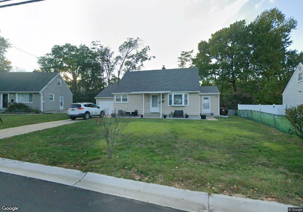
6 Wilcox Rd New Brunswick, NJ 08901
Estimated Value: $396,233 - $476,000
--
Bed
--
Bath
1,179
Sq Ft
$382/Sq Ft
Est. Value
About This Home
This home is located at 6 Wilcox Rd, New Brunswick, NJ 08901 and is currently estimated at $450,558, approximately $382 per square foot. 6 Wilcox Rd is a home located in Middlesex County with nearby schools including New Brunswick High School and Rabbi Jacob Joseph School.
Ownership History
Date
Name
Owned For
Owner Type
Purchase Details
Closed on
Aug 26, 2004
Sold by
Andrade Luis
Bought by
Azcona Manuel and Azcona Dolores
Current Estimated Value
Home Financials for this Owner
Home Financials are based on the most recent Mortgage that was taken out on this home.
Original Mortgage
$198,000
Outstanding Balance
$99,009
Interest Rate
6.02%
Estimated Equity
$351,549
Purchase Details
Closed on
Sep 13, 2002
Sold by
Bentkowski Ilona Tripodi
Bought by
Andrade Luis and Andrade Sonia
Home Financials for this Owner
Home Financials are based on the most recent Mortgage that was taken out on this home.
Original Mortgage
$237,600
Interest Rate
6.09%
Create a Home Valuation Report for This Property
The Home Valuation Report is an in-depth analysis detailing your home's value as well as a comparison with similar homes in the area
Home Values in the Area
Average Home Value in this Area
Purchase History
| Date | Buyer | Sale Price | Title Company |
|---|---|---|---|
| Azcona Manuel | $247,500 | -- | |
| Andrade Luis | $172,000 | -- |
Source: Public Records
Mortgage History
| Date | Status | Borrower | Loan Amount |
|---|---|---|---|
| Open | Azcona Manuel | $198,000 | |
| Previous Owner | Andrade Luis | $237,600 |
Source: Public Records
Tax History Compared to Growth
Tax History
| Year | Tax Paid | Tax Assessment Tax Assessment Total Assessment is a certain percentage of the fair market value that is determined by local assessors to be the total taxable value of land and additions on the property. | Land | Improvement |
|---|---|---|---|---|
| 2025 | $5,578 | $213,000 | $141,800 | $71,200 |
| 2024 | $5,417 | $213,000 | $141,800 | $71,200 |
| 2023 | $5,417 | $213,000 | $141,800 | $71,200 |
| 2022 | $5,302 | $213,000 | $141,800 | $71,200 |
| 2021 | $5,280 | $213,000 | $141,800 | $71,200 |
| 2020 | $5,261 | $213,000 | $141,800 | $71,200 |
| 2019 | $5,161 | $213,000 | $141,800 | $71,200 |
| 2018 | $5,044 | $213,000 | $141,800 | $71,200 |
| 2017 | $4,844 | $213,000 | $141,800 | $71,200 |
| 2016 | $6,294 | $107,300 | $48,100 | $59,200 |
| 2015 | $6,144 | $107,300 | $48,100 | $59,200 |
| 2014 | $6,035 | $107,300 | $48,100 | $59,200 |
Source: Public Records
Map
Nearby Homes
- 63 Pennington Rd
- 104 S Pennington Rd
- 106 S Pennington Rd
- 88 Fox Rd Unit 4B
- 53 Patton Dr
- 11 Cotter Dr
- 66 Fox Rd Unit 9B
- 523 Sadie Cir
- 521 Sadie Cir
- 602 Sadie Cir
- 628 Sadie Cir
- 60 Fox Rd
- 513 Sadie Cir
- 509 Sadie Cir
- 37 York Dr Unit 6A
- 220 Jessie Place
- 228 Jessie Place
- 15 York Dr Unit 1B
- 31 York Dr Unit 3A
- 500 Grove Ave