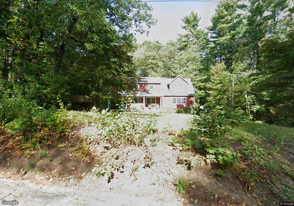
6 Withington Ln Harvard, MA 01451
Estimated Value: $837,826 - $1,011,000
4
Beds
3
Baths
2,601
Sq Ft
$352/Sq Ft
Est. Value
About This Home
This home is located at 6 Withington Ln, Harvard, MA 01451 and is currently estimated at $915,957, approximately $352 per square foot. 6 Withington Ln is a home located in Worcester County.
Ownership History
Date
Name
Owned For
Owner Type
Purchase Details
Closed on
Jun 19, 2023
Sold by
Grant Carolyn S
Bought by
Carolyn Stern Grant Lt and Grant
Current Estimated Value
Purchase Details
Closed on
Sep 22, 2022
Sold by
Grant Carolyn S and Grant Paul S
Bought by
Grant Carolyn S and Stern Carolyn P
Purchase Details
Closed on
Aug 31, 1990
Sold by
Tuzzolo Richard
Bought by
Stern Carolyn P
Create a Home Valuation Report for This Property
The Home Valuation Report is an in-depth analysis detailing your home's value as well as a comparison with similar homes in the area
Home Values in the Area
Average Home Value in this Area
Purchase History
| Date | Buyer | Sale Price | Title Company |
|---|---|---|---|
| Carolyn Stern Grant Lt | -- | None Available | |
| Grant Carolyn S | -- | None Available | |
| Stern Carolyn P | $208,000 | -- | |
| Stern Carolyn P | $208,000 | -- |
Source: Public Records
Mortgage History
| Date | Status | Borrower | Loan Amount |
|---|---|---|---|
| Previous Owner | Stern Carolyn P | $282,500 | |
| Previous Owner | Stern Carolyn P | $132,000 | |
| Previous Owner | Stern Carolyn P | $157,000 |
Source: Public Records
Tax History Compared to Growth
Tax History
| Year | Tax Paid | Tax Assessment Tax Assessment Total Assessment is a certain percentage of the fair market value that is determined by local assessors to be the total taxable value of land and additions on the property. | Land | Improvement |
|---|---|---|---|---|
| 2025 | $11,115 | $710,200 | $243,500 | $466,700 |
| 2024 | $10,582 | $710,200 | $243,500 | $466,700 |
| 2023 | $10,599 | $638,100 | $225,500 | $412,600 |
| 2022 | $9,525 | $531,800 | $210,500 | $321,300 |
| 2021 | $9,275 | $493,900 | $210,500 | $283,400 |
| 2020 | $8,613 | $466,300 | $210,500 | $255,800 |
| 2019 | $8,367 | $480,300 | $210,500 | $269,800 |
| 2018 | $8,247 | $480,900 | $210,500 | $270,400 |
| 2017 | $8,324 | $459,900 | $189,000 | $270,900 |
| 2016 | $8,206 | $454,600 | $189,000 | $265,600 |
| 2015 | $8,408 | $472,600 | $185,100 | $287,500 |
| 2014 | $8,077 | $472,600 | $185,100 | $287,500 |
Source: Public Records
Map
Nearby Homes
- 13 Pine Hill Way
- 14 Pine Hill Way
- 16 A Pine Hill Way Unit 16AA
- 18 B Pine Hill Way Unit BB
- 184 Old Bolton Rd
- 76 Bolton Woods Way
- 90 Corn Rd
- 310 Codman Hill Rd Unit 35D
- 19 Partridge Hill Rd
- 1155 Burroughs Rd
- 9 Cortland Dr Unit 9
- 51 Heather Ln Unit 51
- 98 Meadow Rd
- 28 Mcintosh Dr Unit 22
- 207 Boxboro Rd
- 19 Barton Rd
- 68 Hudson Rd
- 21 Woodside Rd
- 94 Hudson Rd
- 124 Meadow Rd