Estimated Value: $509,000 - $1,504,000
3
Beds
4
Baths
2,600
Sq Ft
$329/Sq Ft
Est. Value
About This Home
This home is located at 6 Yokun Brook Rd, Lenox, MA 01240 and is currently estimated at $855,261, approximately $328 per square foot. 6 Yokun Brook Rd is a home located in Berkshire County with nearby schools including Morris Elementary School, Lenox Memorial High School, and Sinai Academy of the Berkshires.
Ownership History
Date
Name
Owned For
Owner Type
Purchase Details
Closed on
Mar 20, 2020
Sold by
Roth Donald A and Roth Alice S
Bought by
Alice S Roth 2020 T
Current Estimated Value
Purchase Details
Closed on
Aug 7, 2012
Sold by
Tweedy Myra and Tweedy Cathy
Bought by
Roth Donald A and Roth Alice S
Home Financials for this Owner
Home Financials are based on the most recent Mortgage that was taken out on this home.
Original Mortgage
$300,000
Interest Rate
3.7%
Mortgage Type
New Conventional
Purchase Details
Closed on
Jul 28, 2009
Sold by
Tweedy Myra and Tweedy Cathy
Bought by
Tweedy Myra and Tweedy Cathy
Purchase Details
Closed on
May 12, 2006
Sold by
Atlantic Land Mgmt Llc
Bought by
Tweedy Myra
Home Financials for this Owner
Home Financials are based on the most recent Mortgage that was taken out on this home.
Original Mortgage
$408,000
Interest Rate
6.4%
Mortgage Type
Purchase Money Mortgage
Create a Home Valuation Report for This Property
The Home Valuation Report is an in-depth analysis detailing your home's value as well as a comparison with similar homes in the area
Home Values in the Area
Average Home Value in this Area
Purchase History
| Date | Buyer | Sale Price | Title Company |
|---|---|---|---|
| Alice S Roth 2020 T | -- | None Available | |
| Roth Donald A | $375,000 | -- | |
| Tweedy Myra | -- | -- | |
| Tweedy Myra | $507,000 | -- |
Source: Public Records
Mortgage History
| Date | Status | Borrower | Loan Amount |
|---|---|---|---|
| Previous Owner | Roth Donald A | $300,000 | |
| Previous Owner | Tweedy Myra | $408,000 | |
| Previous Owner | Tweedy Myra | $51,000 |
Source: Public Records
Tax History Compared to Growth
Tax History
| Year | Tax Paid | Tax Assessment Tax Assessment Total Assessment is a certain percentage of the fair market value that is determined by local assessors to be the total taxable value of land and additions on the property. | Land | Improvement |
|---|---|---|---|---|
| 2025 | $6,107 | $674,800 | $0 | $674,800 |
| 2024 | $5,433 | $599,000 | $0 | $599,000 |
| 2023 | $4,671 | $509,900 | $0 | $509,900 |
| 2022 | $4,482 | $413,500 | $0 | $413,500 |
| 2021 | $4,676 | $401,400 | $0 | $401,400 |
| 2020 | $4,856 | $401,300 | $0 | $401,300 |
| 2019 | $4,658 | $389,800 | $0 | $389,800 |
| 2018 | $4,634 | $381,700 | $0 | $381,700 |
| 2017 | $4,618 | $378,200 | $0 | $378,200 |
| 2016 | $4,559 | $374,900 | $0 | $374,900 |
| 2015 | $4,449 | $360,800 | $0 | $360,800 |
Source: Public Records
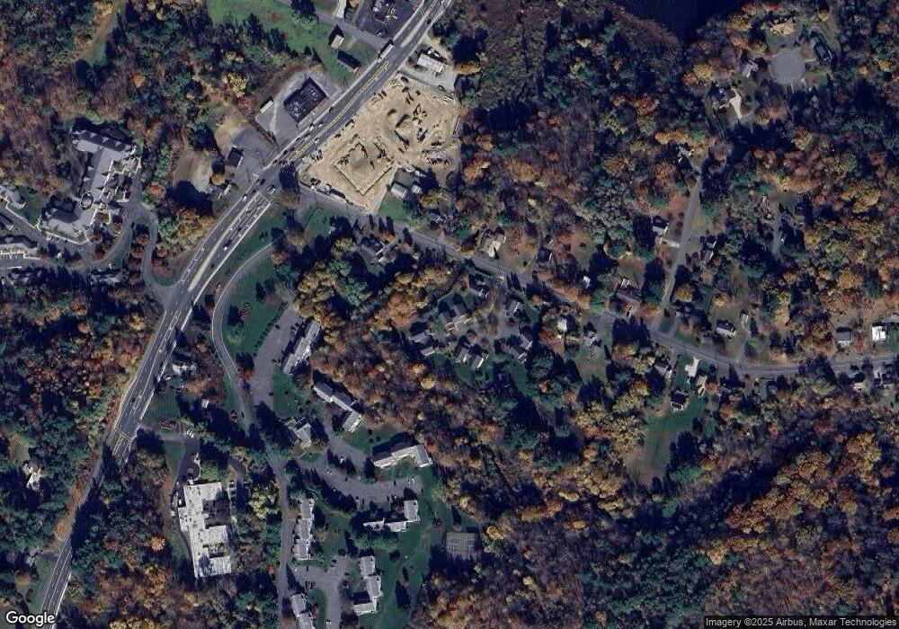
Map
Nearby Homes
- 2 New Lenox Rd
- 2 Rolling Hills Unit bldg2-4
- 2-5 Rolling Hill Build 2 Unit 5 Ln
- 1 Pittsfield Rd
- 249 Pittsfield Rd
- 813 East St
- 9 October Hill Dr
- 257 W Mountain Rd
- 1070 Holmes Rd
- 35 Chapman Rd
- 103 Alpine Trail
- 33 Alpine Trail
- 25 Alpine Trail Unit 6-A
- 349 New Lenox Rd
- 14 Alpine Trail Unit 14
- 16 E New Lenox Rd
- 0 Main St
- 851 E New Lenox Rd
- 57 Palomino Dr
- 889 Holmes Rd
- 6 Yokun Brook Rd
- 4 Yokun Brook Rd
- 4 Yokun Brook Rd
- 4 Yokun Brook Rd Unit 4
- 2 Yokun Brook Dr
- 2 Yokun Brook Rd
- 24 New Lenox Rd
- 10 Yokun Brook Rd
- 8 Yokun Brook Rd
- 10 Yokun Brook Rd
- 8 Yokun Brook Rd
- 10 Yokun Brook Rd Unit 10
- 12 Yokun Brook Rd
- 9 Yokun Brook Rd
- 12 Yokun Brook Dr Unit 12
- 9 Yokun Brook Dr
- 1 Yokun Brook Rd
- 1 Yokun Brook Rd
- 5 Yokun Brook Rd
- 3 Yokun Brook Rd