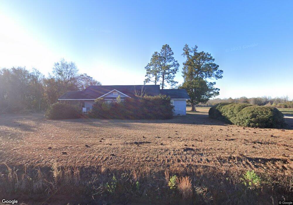
60 Baker Rd Tifton, GA 31794
Estimated Value: $688,000
3
Beds
1
Bath
1,314
Sq Ft
$524/Sq Ft
Est. Value
About This Home
This home is located at 60 Baker Rd, Tifton, GA 31794 and is currently estimated at $688,000, approximately $523 per square foot. 60 Baker Rd is a home located in Tift County with nearby schools including J.T. Reddick School, Matt Wilson Elementary School, and Annie Belle Clark Primary School.
Ownership History
Date
Name
Owned For
Owner Type
Purchase Details
Closed on
Mar 19, 2012
Sold by
Smith Jackie B
Bought by
Stone Bobby P
Current Estimated Value
Purchase Details
Closed on
Jan 10, 2012
Sold by
Smith Jackie B
Purchase Details
Closed on
Aug 5, 2011
Sold by
Baker Robbie D
Bought by
Smith Jackie B
Purchase Details
Closed on
May 25, 2011
Sold by
Alderman Judy and Baker David B
Bought by
Smith Jackie B
Purchase Details
Closed on
Dec 19, 1996
Sold by
Smith Jackie B Etal
Bought by
Baker Pattie Y
Purchase Details
Closed on
Feb 18, 1989
Sold by
Baker C A
Bought by
Baker Baker C and Baker Pattie Y
Create a Home Valuation Report for This Property
The Home Valuation Report is an in-depth analysis detailing your home's value as well as a comparison with similar homes in the area
Home Values in the Area
Average Home Value in this Area
Purchase History
| Date | Buyer | Sale Price | Title Company |
|---|---|---|---|
| Stone Bobby P | $38,000 | -- | |
| -- | $599,457 | -- | |
| Middle Branch Llp | $599,457 | -- | |
| Smith Jackie B | $58,000 | -- | |
| Smith Jackie B | $93,311 | -- | |
| Baker Pattie Y | -- | -- | |
| Baker Baker C | -- | -- |
Source: Public Records
Tax History Compared to Growth
Tax History
| Year | Tax Paid | Tax Assessment Tax Assessment Total Assessment is a certain percentage of the fair market value that is determined by local assessors to be the total taxable value of land and additions on the property. | Land | Improvement |
|---|---|---|---|---|
| 2024 | $1,492 | $309,324 | $308,932 | $392 |
| 2023 | $1,576 | $180,924 | $180,924 | $0 |
| 2022 | $1,877 | $180,924 | $180,924 | $0 |
| 2021 | $1,833 | $180,924 | $180,924 | $0 |
| 2020 | $1,814 | $180,924 | $180,924 | $0 |
| 2019 | $1,761 | $180,924 | $180,924 | $0 |
| 2018 | $1,709 | $180,924 | $180,924 | $0 |
| 2017 | $1,668 | $180,924 | $180,924 | $0 |
| 2016 | $1,623 | $180,924 | $180,924 | $0 |
| 2015 | $1,532 | $180,924 | $180,924 | $0 |
| 2014 | -- | $180,924 | $180,924 | $0 |
| 2013 | -- | $188,444 | $188,444 | $0 |
Source: Public Records
Map
Nearby Homes
- 0 Baker Rd
- 58 Honeysuckle Ln
- 2635 Brookfield-Lenox Rd
- 69 Branch Ln
- 39 Paradise Lake Rd
- 0 E 0 Hwy 125 S
- 21 Brookfield-Lenox Rd
- 0 Stone Bridge Rd
- 2066 U S 82
- 3365 Chula Brookfield Rd
- 204 Brookfield Nashville Rd
- 350 Copeland Rd
- 287 Brookfield Nashville Rd
- 0 S Us Hwy 41 Lee Ball Rd Unit 134993
- Tract 5 Harold Tyson Rd
- 707 Osprey Cir
- 86 Owen Medford Rd
- Tract 2 Harold Tyson Rd
- Tract 3 Harold Tyson Rd
- Tract 5 Jehu Tyson Rd