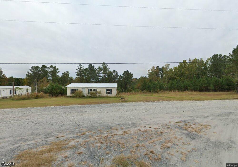
60 Barnes Ln Juliette, GA 31046
Estimated Value: $279,000 - $533,000
3
Beds
2
Baths
3,958
Sq Ft
$97/Sq Ft
Est. Value
About This Home
This home is located at 60 Barnes Ln, Juliette, GA 31046 and is currently estimated at $384,884, approximately $97 per square foot. 60 Barnes Ln is a home located in Monroe County with nearby schools including T.G. Scott Elementary School, Mary Persons High School, and Academy for Classical Education.
Ownership History
Date
Name
Owned For
Owner Type
Purchase Details
Closed on
Oct 31, 2013
Sold by
Barnes William Kenneth
Bought by
Barnes John Wayne
Current Estimated Value
Home Financials for this Owner
Home Financials are based on the most recent Mortgage that was taken out on this home.
Original Mortgage
$144,614
Interest Rate
4.23%
Mortgage Type
New Conventional
Purchase Details
Closed on
Feb 6, 2006
Sold by
Not Provided
Bought by
Barnes Mary Alice
Purchase Details
Closed on
Oct 1, 1973
Sold by
First National Bank & Trust Company
Bought by
Barnes John P
Create a Home Valuation Report for This Property
The Home Valuation Report is an in-depth analysis detailing your home's value as well as a comparison with similar homes in the area
Home Values in the Area
Average Home Value in this Area
Purchase History
| Date | Buyer | Sale Price | Title Company |
|---|---|---|---|
| Barnes John Wayne | -- | -- | |
| Barnes John Matthew | -- | -- | |
| Barnes John Wayne | -- | -- | |
| Barnes William Kenneth | -- | -- | |
| Barnes William Jonathan | -- | -- | |
| Barnes John Matthew | $155,500 | -- | |
| Barnes Mary Alice | -- | -- | |
| Barnes John P | -- | -- |
Source: Public Records
Mortgage History
| Date | Status | Borrower | Loan Amount |
|---|---|---|---|
| Closed | Barnes John Matthew | $144,614 |
Source: Public Records
Tax History Compared to Growth
Tax History
| Year | Tax Paid | Tax Assessment Tax Assessment Total Assessment is a certain percentage of the fair market value that is determined by local assessors to be the total taxable value of land and additions on the property. | Land | Improvement |
|---|---|---|---|---|
| 2024 | $1,984 | $82,472 | $9,720 | $72,752 |
| 2023 | $1,904 | $71,232 | $9,720 | $61,512 |
| 2022 | $1,604 | $71,232 | $9,720 | $61,512 |
| 2021 | $1,660 | $71,232 | $9,720 | $61,512 |
| 2020 | $1,702 | $71,232 | $9,720 | $61,512 |
| 2019 | $1,728 | $71,232 | $9,720 | $61,512 |
| 2018 | $1,733 | $71,672 | $9,720 | $61,952 |
| 2017 | $2,083 | $71,672 | $9,720 | $61,952 |
| 2016 | $1,623 | $70,752 | $9,720 | $61,032 |
| 2015 | $1,540 | $70,752 | $9,720 | $61,032 |
| 2014 | $1,486 | $70,752 | $9,720 | $61,032 |
Source: Public Records
Map
Nearby Homes
- 337 Searcy Dr
- 0 Old Benton Rd Unit 179774
- 0 Old Benton Rd Unit 10523972
- 118 Weatherford Place
- 1301 Exchange Dr
- 1402 Cottage Hill Dr
- 133 Searcy Dr
- 261 Providence Blvd
- 106 Whistler Ln
- 376 Providence Blvd
- 855 Tufthunter
- 1193 Pea Ridge Rd
- 906 Huntcliffe Dr
- 135 Providence Blvd
- 726 Waverly Point
- 730 Waverly Point
- 605 Waverly Ct
- 609 Waverly Ct