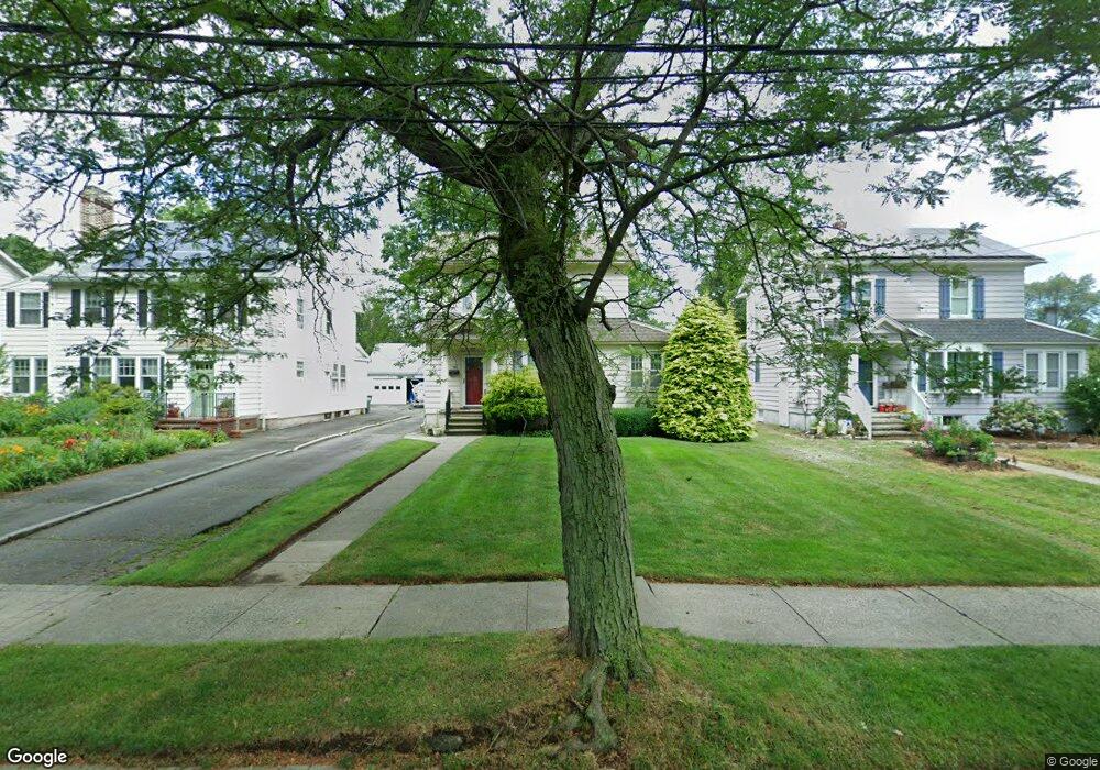
60 Bartram Ave Bridgeport, CT 06605
Black Rock NeighborhoodEstimated Value: $425,000 - $611,000
About This Home
This home is located at 60 Bartram Ave, Bridgeport, CT 06605 and is currently estimated at $520,619, approximately $394 per square foot. 60 Bartram Ave is a home located in Fairfield County with nearby schools including Black Rock School, Bassick High School, and Park City Prep Charter School.
Ownership History
We collect this data history from publicly available records. To have your information removed, we recommend requesting removal directly through your county’s website.
Purchase Details
Home Financials for this Owner
Home Financials are based on the most recent Mortgage that was taken out on this home.Home Values in the Area
Average Home Value in this Area
Purchase History
We collect this data history from publicly available records. To have your information removed, we recommend requesting removal directly through your county’s website.
| Date | Buyer | Sale Price | Title Company |
|---|---|---|---|
| $130,000 | -- | ||
| $130,000 | -- |
Mortgage History
We collect this data history from publicly available records. To have your information removed, we recommend requesting removal directly through your county’s website.
| Date | Status | Borrower | Loan Amount |
|---|---|---|---|
| Open | $240,000 | ||
| Closed | $210,000 | ||
| Closed | $120,000 | ||
| Closed | $131,600 |
Tax History
We collect this data history from publicly available records. To have your information removed, we recommend requesting removal directly through your county’s website.
| Year | Tax Paid | Tax Assessment Tax Assessment Total Assessment is a certain percentage of the fair market value that is determined by local assessors to be the total taxable value of land and additions on the property. | Land | Improvement |
|---|---|---|---|---|
| 2025 | $11,645 | $268,020 | $183,580 | $84,440 |
| 2024 | $11,645 | $268,020 | $183,580 | $84,440 |
| 2023 | $11,645 | $268,020 | $183,580 | $84,440 |
| 2022 | $11,645 | $268,020 | $183,580 | $84,440 |
| 2021 | $11,645 | $268,020 | $183,580 | $84,440 |
| 2020 | $12,115 | $224,390 | $150,650 | $73,740 |
| 2019 | $12,115 | $224,390 | $150,650 | $73,740 |
| 2018 | $12,200 | $224,390 | $150,650 | $73,740 |
| 2017 | $12,200 | $224,390 | $150,650 | $73,740 |
| 2016 | $12,200 | $224,390 | $150,650 | $73,740 |
| 2015 | $9,682 | $229,430 | $131,630 | $97,800 |
| 2014 | $9,682 | $229,430 | $131,630 | $97,800 |
Map
- 37 Bartram Ave
- 106 Brittin Ave
- 78 Haddon St Unit 1
- 59 Princeton St
- 8-10 Jetland Place
- 76-78 Wilson St
- 153 Shell St
- 108 Princeton St
- 97 Fayerweather Terrace
- 165 Bennett St
- 855 Brewster St Unit 857
- 22-26 Waldorf Ave
- 150 Beachview Ave Unit 290
- 3250 Fairfield Ave Unit 206
- 3250 Fairfield Ave Unit 222
- 140 Beachview Ave Unit 266
- 219 Orland St Unit 221
- 685 Gilman St
- 1 Battery Park Dr
- 50 Stone Ridge Way Unit 2A
- 68 Bartram Ave
- 50 Bartram Ave
- 78 Bartram Ave
- 88 Bartram Ave
- 175 Ellsworth St
- 189 Ellsworth St
- 99 Brittin Ave
- 47 Bartram Ave
- 109 Brittin Ave
- 115 Brittin Ave
- 100 Bartram Ave
- 191 Ellsworth St
- 77 Brittin Ave
- 113 Brittin Ave
- 110 Bartram Ave
- 69 Brittin Ave
- 15 Bartram Ave
- 59 Brittin Ave
- 129 Bartram Ave
- 57 Bartram Ave
Ask me questions while you tour the home.