60 Blue Brook Ct O Fallon, MO 63366
O'Fallon AreaEstimated Value: $501,000 - $624,000
About This Home
This home is located at 60 Blue Brook Ct, O Fallon, MO 63366 and is currently estimated at $547,982, approximately $255 per square foot. 60 Blue Brook Ct is a home with nearby schools including Mount Hope Elementary School, Fort Zumwalt North Middle School, and Fort Zumwalt North High School.
Ownership History
We collect this data history from publicly available records. To have your information removed, we recommend requesting removal directly through your county’s website.
Purchase Details
Purchase Details
Home Financials for this Owner
Home Financials are based on the most recent Mortgage that was taken out on this home.Home Values in the Area
Average Home Value in this Area
Purchase History
We collect this data history from publicly available records. To have your information removed, we recommend requesting removal directly through your county’s website.
| Date | Buyer | Sale Price | Title Company |
|---|---|---|---|
| -- | None Listed On Document | ||
| $316,926 | None Available |
Mortgage History
We collect this data history from publicly available records. To have your information removed, we recommend requesting removal directly through your county’s website.
| Date | Status | Borrower | Loan Amount |
|---|---|---|---|
| Previous Owner | $50,000 | ||
| Previous Owner | $274,400 | ||
| Previous Owner | $274,400 | ||
| Previous Owner | $301,079 |
Tax History
We collect this data history from publicly available records. To have your information removed, we recommend requesting removal directly through your county’s website.
| Year | Tax Paid | Tax Assessment Tax Assessment Total Assessment is a certain percentage of the fair market value that is determined by local assessors to be the total taxable value of land and additions on the property. | Land | Improvement |
|---|---|---|---|---|
| 2025 | $5,066 | $87,805 | ||
| 2023 | $5,071 | $78,987 | ||
| 2022 | $4,784 | $69,536 | $0 | $0 |
| 2021 | $4,796 | $69,536 | $0 | $0 |
| 2020 | $4,419 | $60,955 | $0 | $0 |
| 2019 | $4,435 | $60,955 | $0 | $0 |
| 2018 | $4,744 | $62,306 | $0 | $0 |
| 2017 | $4,716 | $62,306 | $0 | $0 |
| 2016 | $4,731 | $60,216 | $0 | $0 |
| 2015 | $2,402 | $6,270 | $0 | $0 |
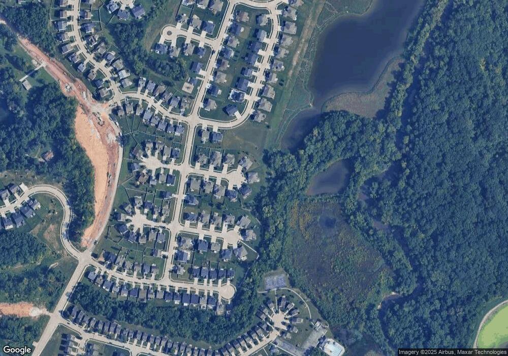
Map
- 46 Red Brook Ct
- 210 Flint Brook Dr
- 30 +/- AC Guthrie Rd
- 345 Mystic Brook Dr
- 12 Brushy Brook Ct
- 361 Mystic Brook Dr
- 518 Brookside Forest Ct
- 225 Thorn Brook Dr
- 425 Dusty Brook Dr
- 102 Knoll Brook Dr
- 437 Dusty Brook Dr
- 523 Cliff Brook Dr
- New Build
- 19 Maple Brook Dr
- 30+/-AC Guthrie Rd
- 176 Harbor View Dr
- 43 Breezy Knoll Ln
- 696 Springfield Dr
- 3 Harbor Point Ct
- 3 Rainier Ct
- 57 Blue Brook Ct
- 56 Blue Brook Ct
- 55 Blue Brook Ct
- 54 Blue Brook Ct
- 39 Harvest Brook Ct
- 53 Blue Brook Ct
- 37 Harvest Brook Ct
- 52 Blue Brook Ct
- 522 Deer Brook Dr
- 41 Harvest Brook Ct
- 35 Harvest Brook Ct
- 50 Blue Brook Ct
- 33 Harvest Brook Ct
- 530 Deer Brook Dr
- 310 Mystic Brook Dr
- 520 Deer Brook Dr
- 525 Deer Brook Dr
- 532 Deer Brook Dr
- 31 Harvest Brook Ct
- 36 Harvest Brook Ct
Ask me questions while you tour the home.