60 Bonning Rd Newton, NJ 07860
Estimated Value: $679,411 - $861,000
--
Bed
--
Bath
2,226
Sq Ft
$349/Sq Ft
Est. Value
About This Home
This home is located at 60 Bonning Rd, Newton, NJ 07860 and is currently estimated at $777,603, approximately $349 per square foot. 60 Bonning Rd is a home located in Sussex County with nearby schools including Frankford Township School and High Point Regional High School.
Ownership History
Date
Name
Owned For
Owner Type
Purchase Details
Closed on
Dec 10, 2019
Sold by
Servidea John David and Servidea John David
Bought by
Krebs Jason and Krebs Marliece
Current Estimated Value
Home Financials for this Owner
Home Financials are based on the most recent Mortgage that was taken out on this home.
Original Mortgage
$417,900
Interest Rate
3.7%
Mortgage Type
New Conventional
Purchase Details
Closed on
Apr 4, 2017
Sold by
Servidea James S and Bendel Nancy L
Bought by
Servidea James S
Purchase Details
Closed on
Jan 29, 2007
Sold by
Servidea James S
Bought by
Servidea James S and Bendel Nancy
Purchase Details
Closed on
Jan 25, 2001
Sold by
Finkeldey Henry
Bought by
Servidea James S
Create a Home Valuation Report for This Property
The Home Valuation Report is an in-depth analysis detailing your home's value as well as a comparison with similar homes in the area
Home Values in the Area
Average Home Value in this Area
Purchase History
| Date | Buyer | Sale Price | Title Company |
|---|---|---|---|
| Krebs Jason | $522,425 | Main Street Title | |
| Servidea James S | -- | Old Republic Natl Title Ins | |
| Servidea James S | -- | Old Republic National Title | |
| Servidea James S | $140,000 | -- |
Source: Public Records
Mortgage History
| Date | Status | Borrower | Loan Amount |
|---|---|---|---|
| Previous Owner | Krebs Jason | $417,900 |
Source: Public Records
Tax History Compared to Growth
Tax History
| Year | Tax Paid | Tax Assessment Tax Assessment Total Assessment is a certain percentage of the fair market value that is determined by local assessors to be the total taxable value of land and additions on the property. | Land | Improvement |
|---|---|---|---|---|
| 2025 | $12,196 | $410,100 | $240,100 | $170,000 |
| 2024 | $11,831 | $410,100 | $240,100 | $170,000 |
| 2023 | $11,831 | $410,100 | $240,100 | $170,000 |
| 2022 | $11,196 | $410,100 | $240,100 | $170,000 |
| 2021 | $11,196 | $410,100 | $240,100 | $170,000 |
| 2020 | $8,412 | $317,200 | $240,100 | $77,100 |
| 2019 | $8,174 | $317,200 | $240,100 | $77,100 |
| 2018 | $8,098 | $317,200 | $240,100 | $77,100 |
| 2017 | $8,070 | $317,200 | $240,100 | $77,100 |
| 2016 | $8,171 | $317,200 | $240,100 | $77,100 |
| 2015 | $8,130 | $317,200 | $240,100 | $77,100 |
| 2014 | $8,317 | $317,200 | $240,100 | $77,100 |
Source: Public Records
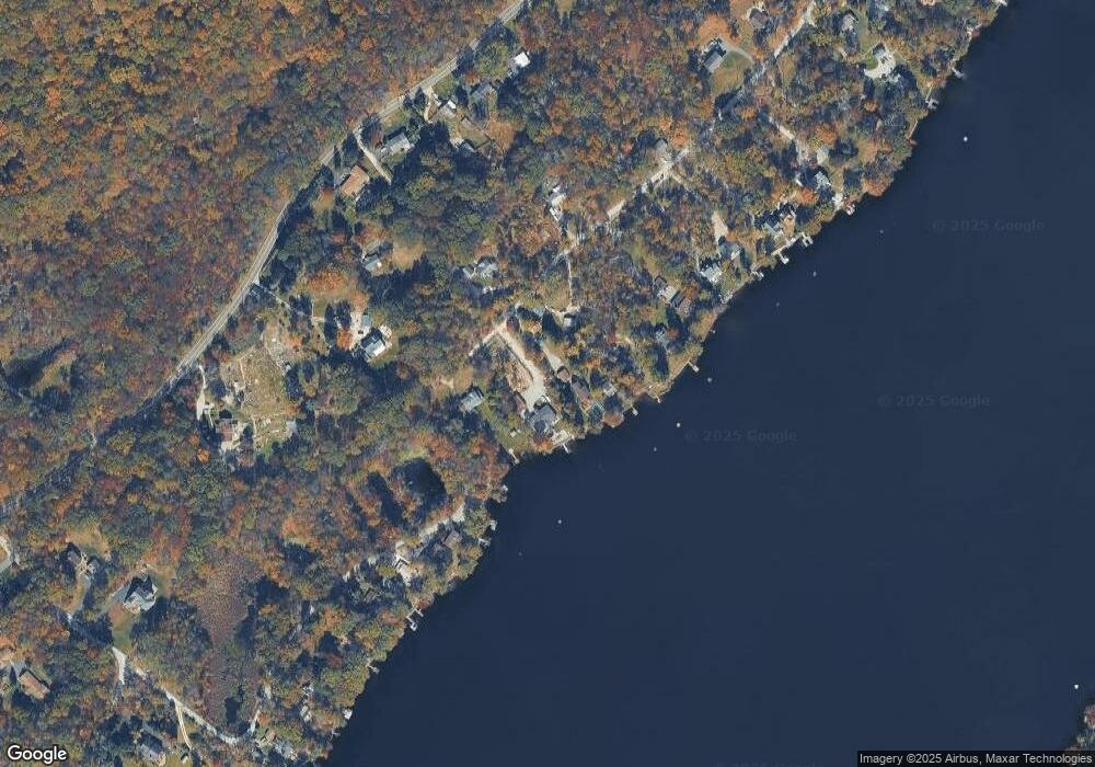
Map
Nearby Homes
- 40 Martin Ln
- 196 W Owassa Turnpike
- 17 17 West Owassa Tnpk
- 1 South Trail
- 26 Mill Ln
- 25 E Shore Lake Owassa Rd
- 19 E Shore Lake Owassa Rd
- 57 E Shore Trail
- 9 Maple Ln
- 95 Woods Rd
- 39 Stehr St
- 4 Woodlawn Ave
- 6 Woodlawn Ave
- 15 Forest St
- 27 Mountain Trail
- 1 Lakeview Point Ave
- 7 Laurel Ave
- 30 E Shore Culver Rd
- 10 Lakewood Trail
- 121 W Shore Dr