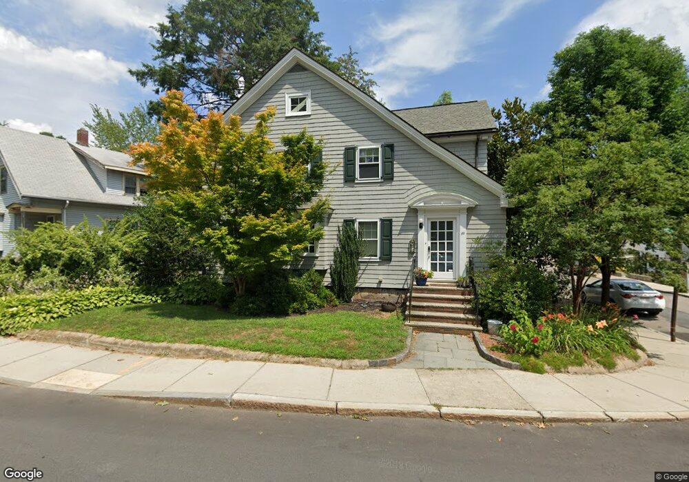
60 Bourne St Jamaica Plain, MA 02130
Jamaica Plain NeighborhoodEstimated Value: $1,023,000 - $1,066,000
3
Beds
3
Baths
1,881
Sq Ft
$557/Sq Ft
Est. Value
About This Home
This home is located at 60 Bourne St, Jamaica Plain, MA 02130 and is currently estimated at $1,046,813, approximately $556 per square foot. 60 Bourne St is a home located in Suffolk County with nearby schools including Brooke Charter School Roslindale, The Croft School - Jamaica Plain, and St. Clare High School.
Ownership History
Date
Name
Owned For
Owner Type
Purchase Details
Closed on
Oct 15, 2009
Sold by
Festa Robert F and Festa Maureen
Bought by
Manning Carolyn M and Busch Chris H
Current Estimated Value
Home Financials for this Owner
Home Financials are based on the most recent Mortgage that was taken out on this home.
Original Mortgage
$417,000
Outstanding Balance
$273,127
Interest Rate
5.14%
Mortgage Type
Purchase Money Mortgage
Estimated Equity
$773,686
Purchase Details
Closed on
Mar 30, 2000
Sold by
Harris Tommie B and Harris Katrina A
Bought by
Hadley Chris
Purchase Details
Closed on
Aug 31, 1994
Sold by
Griffin Edward J and Griffin Ruth M
Bought by
Harris Tommie B and Harris Matrina A
Create a Home Valuation Report for This Property
The Home Valuation Report is an in-depth analysis detailing your home's value as well as a comparison with similar homes in the area
Home Values in the Area
Average Home Value in this Area
Purchase History
| Date | Buyer | Sale Price | Title Company |
|---|---|---|---|
| Manning Carolyn M | $532,500 | -- | |
| Hadley Chris | $283,000 | -- | |
| Harris Tommie B | $139,500 | -- |
Source: Public Records
Mortgage History
| Date | Status | Borrower | Loan Amount |
|---|---|---|---|
| Open | Manning Carolyn M | $417,000 |
Source: Public Records
Tax History Compared to Growth
Tax History
| Year | Tax Paid | Tax Assessment Tax Assessment Total Assessment is a certain percentage of the fair market value that is determined by local assessors to be the total taxable value of land and additions on the property. | Land | Improvement |
|---|---|---|---|---|
| 2025 | $11,926 | $1,029,900 | $220,400 | $809,500 |
| 2024 | $10,952 | $1,004,800 | $217,900 | $786,900 |
| 2023 | $10,083 | $938,800 | $203,600 | $735,200 |
| 2022 | $9,368 | $861,000 | $186,700 | $674,300 |
| 2021 | $8,920 | $836,000 | $181,300 | $654,700 |
| 2020 | $7,544 | $714,400 | $177,500 | $536,900 |
| 2019 | $7,174 | $680,600 | $147,200 | $533,400 |
| 2018 | $6,368 | $607,600 | $147,200 | $460,400 |
| 2017 | $6,311 | $595,900 | $147,200 | $448,700 |
| 2016 | $6,426 | $584,200 | $147,200 | $437,000 |
| 2015 | $6,450 | $532,600 | $141,500 | $391,100 |
| 2014 | $5,867 | $466,400 | $141,500 | $324,900 |
Source: Public Records
Map
Nearby Homes
- 50 Southbourne Rd
- 31 Rodman St Unit 2
- 31 Rodman St Unit 1
- 18-20 Northbourne Rd Unit 18
- 348-350 Hyde Park Ave Unit 2
- 158 Wachusett St Unit 3
- 140 Wachusett St
- 24 Waterman Rd
- 71 Wyvern St
- 105 Neponset Ave Unit 105
- 178 Hyde Park Ave Unit 3
- 103 Neponset Ave Unit 103A
- 103-105 Neponset Ave
- 36 Neponset Ave Unit 1
- 602 Canterbury St Unit 14
- 602 Canterbury St Unit 4
- 602 Canterbury St Unit 5
- 602 Canterbury St Unit 2
- 602 Canterbury St Unit 9
- 143-171 Hyde Park Ave Unit 169A
- 50 Bourne St
- 98 Southbourne Rd
- 39 Eastland Rd
- 66 Bourne St
- 46 Bourne St
- 95 Southbourne Rd
- 63 Bourne St
- 33 Eastland Rd
- 85 Southbourne Rd
- 76 Bourne St
- 59 Bourne St
- 43 Eastland Rd
- 84 Southbourne Rd
- 84 Southbourne Rd Unit 1
- 55 Bourne St
- 42 Bourne St
- 69 Bourne St
- 30 Eastland Rd
- 27 Eastland Rd
- 82 Southbourne Rd