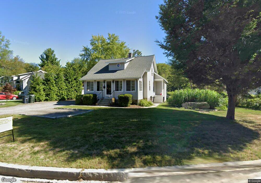
60 Brattle St Holden, MA 01520
Estimated Value: $430,000 - $524,000
2
Beds
1
Bath
1,108
Sq Ft
$421/Sq Ft
Est. Value
About This Home
This home is located at 60 Brattle St, Holden, MA 01520 and is currently estimated at $466,344, approximately $420 per square foot. 60 Brattle St is a home located in Worcester County with nearby schools including Wachusett Regional High School, Abby Kelley Foster Charter Public School, and Bancroft School.
Ownership History
Date
Name
Owned For
Owner Type
Purchase Details
Closed on
Apr 30, 2004
Sold by
Redfield Addison
Bought by
Quinn Kaitlin E and Harmon Kevin M
Current Estimated Value
Home Financials for this Owner
Home Financials are based on the most recent Mortgage that was taken out on this home.
Original Mortgage
$221,000
Outstanding Balance
$102,596
Interest Rate
5.36%
Mortgage Type
Purchase Money Mortgage
Estimated Equity
$363,748
Purchase Details
Closed on
Dec 5, 2000
Sold by
Stoddard Daryl C
Bought by
Redfield Addison
Purchase Details
Closed on
Jun 20, 1997
Sold by
Est Carlson Richard R and Dunn Doreen E
Bought by
Stoddard Daryl C
Home Financials for this Owner
Home Financials are based on the most recent Mortgage that was taken out on this home.
Original Mortgage
$68,000
Interest Rate
7.87%
Mortgage Type
Purchase Money Mortgage
Create a Home Valuation Report for This Property
The Home Valuation Report is an in-depth analysis detailing your home's value as well as a comparison with similar homes in the area
Home Values in the Area
Average Home Value in this Area
Purchase History
| Date | Buyer | Sale Price | Title Company |
|---|---|---|---|
| Quinn Kaitlin E | $221,000 | -- | |
| Redfield Addison | $76,000 | -- | |
| Stoddard Daryl C | $68,000 | -- |
Source: Public Records
Mortgage History
| Date | Status | Borrower | Loan Amount |
|---|---|---|---|
| Open | Quinn Kaitlin E | $221,000 | |
| Previous Owner | Stoddard Daryl C | $68,000 |
Source: Public Records
Tax History Compared to Growth
Tax History
| Year | Tax Paid | Tax Assessment Tax Assessment Total Assessment is a certain percentage of the fair market value that is determined by local assessors to be the total taxable value of land and additions on the property. | Land | Improvement |
|---|---|---|---|---|
| 2025 | $5,577 | $402,400 | $119,200 | $283,200 |
| 2024 | $5,241 | $370,400 | $115,600 | $254,800 |
| 2023 | $4,939 | $329,500 | $100,500 | $229,000 |
| 2022 | $4,773 | $288,200 | $78,500 | $209,700 |
| 2021 | $4,613 | $265,100 | $74,800 | $190,300 |
| 2020 | $4,418 | $259,900 | $71,200 | $188,700 |
| 2019 | $4,225 | $242,100 | $71,200 | $170,900 |
| 2018 | $4,073 | $231,300 | $67,800 | $163,500 |
| 2017 | $3,149 | $179,000 | $67,800 | $111,200 |
| 2016 | $2,950 | $171,000 | $64,600 | $106,400 |
| 2015 | $3,012 | $166,200 | $64,600 | $101,600 |
| 2014 | $2,950 | $166,200 | $64,600 | $101,600 |
Source: Public Records
Map
Nearby Homes
- 9 Birchwood Dr
- 250 Shrewsbury St
- 81 Mount View Dr
- 29 Glenwood St
- 83 Stoneleigh Rd
- 15 Lowell Ave
- 160 Shrewsbury St
- 93 Winfield Rd
- 189 Holden St
- 21 Wyoming Dr
- 27 Mayflower Cir
- 308 Holden St
- 314 Main St
- 23 Gail Dr
- 9 Emily St
- 9 Idalla Ave
- 27 Tea Party Cir Unit 27
- 22 Danielles Way
- 26 Danielles Way
- 31 Danielles Way