60 Brookfield Rd Seymour, CT 06483
Estimated Value: $673,375 - $798,000
4
Beds
3
Baths
2,746
Sq Ft
$266/Sq Ft
Est. Value
About This Home
This home is located at 60 Brookfield Rd, Seymour, CT 06483 and is currently estimated at $729,844, approximately $265 per square foot. 60 Brookfield Rd is a home located in New Haven County with nearby schools including Bungay Elementary School, Seymour Middle School, and Seymour High School.
Ownership History
Date
Name
Owned For
Owner Type
Purchase Details
Closed on
Sep 14, 2001
Sold by
Seymour Park Inc
Bought by
Pollman John A and Pollman Kimberly A
Current Estimated Value
Home Financials for this Owner
Home Financials are based on the most recent Mortgage that was taken out on this home.
Original Mortgage
$80,000
Interest Rate
6.99%
Mortgage Type
Purchase Money Mortgage
Create a Home Valuation Report for This Property
The Home Valuation Report is an in-depth analysis detailing your home's value as well as a comparison with similar homes in the area
Home Values in the Area
Average Home Value in this Area
Purchase History
| Date | Buyer | Sale Price | Title Company |
|---|---|---|---|
| Pollman John A | $100,000 | -- | |
| Pollman John A | $100,000 | -- |
Source: Public Records
Mortgage History
| Date | Status | Borrower | Loan Amount |
|---|---|---|---|
| Open | Pollman John A | $260,000 | |
| Closed | Pollman John A | $35,000 | |
| Closed | Pollman John A | $277,000 | |
| Closed | Pollman John A | $80,000 |
Source: Public Records
Tax History
| Year | Tax Paid | Tax Assessment Tax Assessment Total Assessment is a certain percentage of the fair market value that is determined by local assessors to be the total taxable value of land and additions on the property. | Land | Improvement |
|---|---|---|---|---|
| 2025 | $12,054 | $434,840 | $68,810 | $366,030 |
| 2024 | $10,774 | $292,460 | $63,140 | $229,320 |
| 2023 | $10,523 | $292,460 | $63,140 | $229,320 |
| 2022 | $10,409 | $292,460 | $63,140 | $229,320 |
| 2021 | $10,151 | $292,460 | $63,140 | $229,320 |
| 2020 | $10,214 | $283,710 | $74,200 | $209,510 |
| 2019 | $10,214 | $283,710 | $74,200 | $209,510 |
| 2018 | $10,214 | $283,710 | $74,200 | $209,510 |
| 2017 | $10,214 | $283,710 | $74,200 | $209,510 |
| 2016 | $10,214 | $283,710 | $74,200 | $209,510 |
| 2015 | $10,274 | $297,010 | $78,400 | $218,610 |
| 2014 | $10,110 | $297,010 | $78,400 | $218,610 |
Source: Public Records
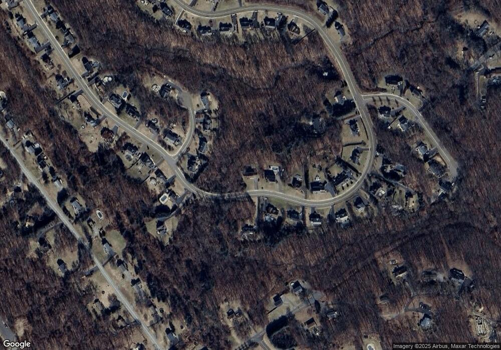
Map
Nearby Homes
- 22 Brookfield Rd
- 109 Davis Rd
- 208 Bungay Rd
- 106 Botsford Rd
- 132 Botsford Rd
- 56 Great Hill Rd
- 24 Deer Run Dr
- 24 Byron Ave
- 826 S Main St
- 18 Forest St
- 57 Bellevue Terrace
- 44 Morningside Dr
- 28 Elmwood Dr
- 22 Greenwood Cir
- 44 Woodlawn Ave
- 11 Poplar Dr
- 29 Balance Rock Rd Unit 5
- 12 Great Meadow Rd
- 19 5th St
- 43 Balance Rock Rd Unit 1
- 58 Brookfield Rd
- 4 Dahlia Ln
- 56 Brookfield Rd
- 68 Brookfield Rd
- 6 Dahlia Ln
- 65 Brookfield Rd
- 63 Brookfield Rd
- 54 Brookfield Rd
- 61 Brookfield Rd
- 8 Dahlia Ln
- 72 Brookfield Rd
- 73 Brookfield Rd
- 52 Brookfield Rd
- 59 Brookfield Rd
- 75 Brookfield Rd
- 52 Brookdale Rd
- 71 Brookfield Rd
- 77 Brookfield Rd
- 50 Brookfield Rd
- 74 Brookfield Rd
Your Personal Tour Guide
Ask me questions while you tour the home.