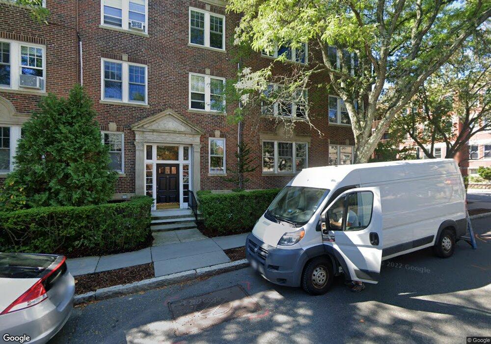
60 Browne St Unit 4 Brookline, MA 02446
Coolidge Corner NeighborhoodEstimated Value: $1,257,000 - $1,805,536
3
Beds
2
Baths
2,244
Sq Ft
$728/Sq Ft
Est. Value
About This Home
This home is located at 60 Browne St Unit 4, Brookline, MA 02446 and is currently estimated at $1,633,384, approximately $727 per square foot. 60 Browne St Unit 4 is a home located in Norfolk County with nearby schools including Match Charter Public School, New England Hebrew Academy, and Boston University Academy.
Ownership History
Date
Name
Owned For
Owner Type
Purchase Details
Closed on
Aug 17, 2020
Sold by
Louik Carol
Bought by
Carol Louik T
Current Estimated Value
Purchase Details
Closed on
May 29, 1992
Sold by
Mufson Michael J and Mufson Marilyn
Bought by
Levy Andrew P and Levy Nina S
Create a Home Valuation Report for This Property
The Home Valuation Report is an in-depth analysis detailing your home's value as well as a comparison with similar homes in the area
Home Values in the Area
Average Home Value in this Area
Purchase History
| Date | Buyer | Sale Price | Title Company |
|---|---|---|---|
| Carol Louik T | -- | None Available | |
| Levy Andrew P | $243,000 | -- |
Source: Public Records
Mortgage History
| Date | Status | Borrower | Loan Amount |
|---|---|---|---|
| Previous Owner | Levy Andrew P | $290,700 | |
| Previous Owner | Levy Andrew P | $292,057 | |
| Previous Owner | Levy Andrew P | $200,000 | |
| Previous Owner | Levy Andrew P | $185,000 |
Source: Public Records
Tax History Compared to Growth
Tax History
| Year | Tax Paid | Tax Assessment Tax Assessment Total Assessment is a certain percentage of the fair market value that is determined by local assessors to be the total taxable value of land and additions on the property. | Land | Improvement |
|---|---|---|---|---|
| 2025 | $15,175 | $1,537,500 | $0 | $1,537,500 |
| 2024 | $14,726 | $1,507,300 | $0 | $1,507,300 |
| 2023 | $14,265 | $1,430,800 | $0 | $1,430,800 |
| 2022 | $14,295 | $1,402,800 | $0 | $1,402,800 |
| 2021 | $13,611 | $1,388,900 | $0 | $1,388,900 |
| 2020 | $12,996 | $1,375,200 | $0 | $1,375,200 |
| 2019 | $12,272 | $1,309,700 | $0 | $1,309,700 |
| 2018 | $11,424 | $1,207,600 | $0 | $1,207,600 |
| 2017 | $11,048 | $1,118,200 | $0 | $1,118,200 |
| 2016 | $10,592 | $1,016,500 | $0 | $1,016,500 |
| 2015 | $9,869 | $924,100 | $0 | $924,100 |
| 2014 | $9,546 | $838,100 | $0 | $838,100 |
Source: Public Records
Map
Nearby Homes
- 79 Pleasant St Unit 4
- 125 Pleasant St Unit 201
- 18 Browne St Unit 2
- 45 Dwight St
- 17 James St Unit 1
- 15 James St Unit 2
- 125 Crowninshield Rd Unit 125
- 63 Green St Unit 3
- 63 Green St Unit 2
- 58 Dwight St Unit 6
- 99 Crowninshield Rd Unit 99
- 233 Freeman St Unit 1
- 51 John St Unit 201
- 19 Thatcher St Unit E13
- 52 Babcock St Unit 6
- 95 Beals St Unit 2
- 6 Elba St
- 14 Green St Unit PHA
- 14 Green St Unit PH1
- 10 Bradford Terrace Unit 5
- 60 Browne St Unit 6
- 60 Browne St Unit 5
- 60 Browne St Unit 3
- 60 Browne St Unit 2
- 60 Browne St Unit 60 Browne Street
- 60 Browne St
- 60 Browne St
- 56 Browne St Unit B
- 56 Browne St Unit 3
- 56 Browne St Unit 2
- 56 Browne St Unit 1
- 89 Pleasant St Unit 1
- 89 Pleasant St Unit 6
- 89 Pleasant St Unit 5
- 89 Pleasant St Unit 4
- 89 Pleasant St Unit 3
- 89 Pleasant St Unit 2
- 89 Pleasant St Unit 3,89
- 89 Pleasant St
- 8 Still St Unit 10