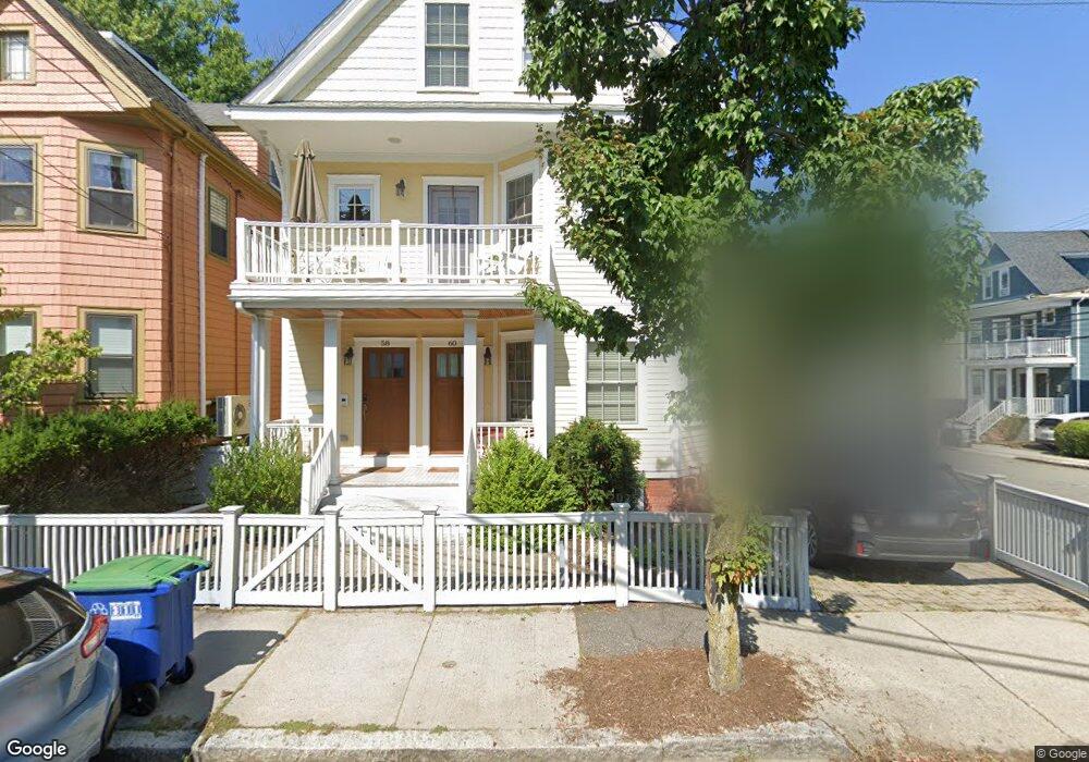
60 Burnside Ave Unit 1 Somerville, MA 02144
Porter Square NeighborhoodEstimated Value: $797,000 - $1,022,000
2
Beds
1
Bath
1,018
Sq Ft
$886/Sq Ft
Est. Value
About This Home
This home is located at 60 Burnside Ave Unit 1, Somerville, MA 02144 and is currently estimated at $901,728, approximately $885 per square foot. 60 Burnside Ave Unit 1 is a home located in Middlesex County with nearby schools including Somerville High School, Saint Theresa School, and St. Clement Elementary School.
Ownership History
Date
Name
Owned For
Owner Type
Purchase Details
Closed on
Mar 25, 2010
Sold by
K&K Lewis Realty Llc
Bought by
Myers Jeffrey and Spindler Jeremy
Current Estimated Value
Home Financials for this Owner
Home Financials are based on the most recent Mortgage that was taken out on this home.
Original Mortgage
$363,750
Outstanding Balance
$241,567
Interest Rate
5.02%
Mortgage Type
Purchase Money Mortgage
Estimated Equity
$660,161
Create a Home Valuation Report for This Property
The Home Valuation Report is an in-depth analysis detailing your home's value as well as a comparison with similar homes in the area
Home Values in the Area
Average Home Value in this Area
Purchase History
| Date | Buyer | Sale Price | Title Company |
|---|---|---|---|
| Myers Jeffrey | $485,000 | -- |
Source: Public Records
Mortgage History
| Date | Status | Borrower | Loan Amount |
|---|---|---|---|
| Open | Myers Jeffrey | $363,750 |
Source: Public Records
Tax History Compared to Growth
Tax History
| Year | Tax Paid | Tax Assessment Tax Assessment Total Assessment is a certain percentage of the fair market value that is determined by local assessors to be the total taxable value of land and additions on the property. | Land | Improvement |
|---|---|---|---|---|
| 2025 | $10,807 | $990,600 | $0 | $990,600 |
| 2024 | $11,880 | $1,129,300 | $0 | $1,129,300 |
| 2023 | $7,596 | $734,600 | $0 | $734,600 |
| 2022 | $7,199 | $707,200 | $0 | $707,200 |
| 2021 | $7,052 | $692,100 | $0 | $692,100 |
| 2020 | $6,762 | $670,200 | $0 | $670,200 |
| 2019 | $6,991 | $649,700 | $0 | $649,700 |
| 2018 | $6,837 | $604,500 | $0 | $604,500 |
| 2017 | $6,630 | $568,100 | $0 | $568,100 |
| 2016 | $6,365 | $508,000 | $0 | $508,000 |
| 2015 | $5,609 | $444,800 | $0 | $444,800 |
Source: Public Records
Map
Nearby Homes
- 12 Windsor Rd Unit 1
- 79 Willow Ave
- 3 Fairlee St
- 353 Summer St Unit 310
- 371 Highland Ave
- 32-40 White St
- 7 Beech St Unit 319
- 7 Beech St Unit 211
- 23 Highland Rd
- 156 Albion St Unit A
- 156 Albion St Unit B
- 31 Rogers Ave
- 1 Richdale Ave Unit 2
- 13 Warwick St
- 39 Rogers Ave
- 749 Somerville Ave Unit 1
- 27 Boston Ave
- 8 Cogswell Ave
- 3 Arlington St Unit 52
- 34 Day St
- 58 Burnside Ave
- 54 Burnside Ave
- 306 Summer St
- 306 Summer St Unit 2L
- 306 Summer St Unit 2T
- 306 Summer St Unit 2A
- 306 Summer St Unit 1T
- 308 Summer St Unit 2
- 52 Burnside Ave
- 298 Summer St
- 303 Summer St
- 45 Banks St
- 301 Summer St
- 299 Summer St
- 299 Summer St Unit A
- 299 Summer St Unit 1
- 49 Banks St Unit 2
- 49 Banks St Unit 1
- 49 Banks St
- 41 Banks St