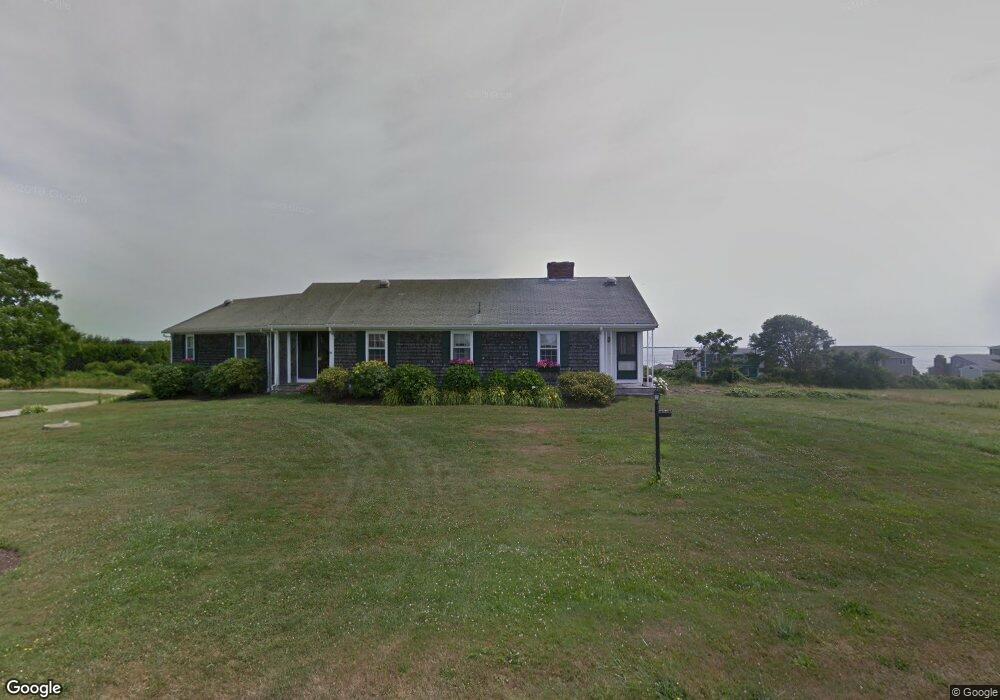
60 Butts Rock Rd Little Compton, RI 02837
Estimated Value: $1,848,000 - $2,499,000
2
Beds
3
Baths
3,708
Sq Ft
$558/Sq Ft
Est. Value
About This Home
This home is located at 60 Butts Rock Rd, Little Compton, RI 02837 and is currently estimated at $2,070,042, approximately $558 per square foot. 60 Butts Rock Rd is a home located in Newport County with nearby schools including Wilbur & McMahon School.
Ownership History
Date
Name
Owned For
Owner Type
Purchase Details
Closed on
Mar 28, 2025
Sold by
Dambra Michael N and Dambra Margaret M
Bought by
Dambra Ft and Dambra
Current Estimated Value
Purchase Details
Closed on
Jul 20, 2021
Sold by
M & M Irt
Bought by
M & M Irt
Purchase Details
Closed on
Dec 11, 2012
Sold by
Dambra Michael N and Dambra Margaret M
Bought by
Dambra Michael N and M&M Irt
Purchase Details
Closed on
Jun 29, 2011
Sold by
Dambra Residence T
Bought by
Dambra Michael N and Dambra Margaret M
Create a Home Valuation Report for This Property
The Home Valuation Report is an in-depth analysis detailing your home's value as well as a comparison with similar homes in the area
Home Values in the Area
Average Home Value in this Area
Purchase History
| Date | Buyer | Sale Price | Title Company |
|---|---|---|---|
| Dambra Ft | -- | None Available | |
| Dambra Ft | -- | None Available | |
| M & M Irt | -- | None Available | |
| Dambra | -- | None Available | |
| Dambra Michael N | -- | -- | |
| Dambra Michael N | -- | -- | |
| Dambra Michael N | $885,000 | -- | |
| Dambra Michael N | $885,000 | -- |
Source: Public Records
Mortgage History
| Date | Status | Borrower | Loan Amount |
|---|---|---|---|
| Previous Owner | Dambra Michael N | $209,600 |
Source: Public Records
Tax History Compared to Growth
Tax History
| Year | Tax Paid | Tax Assessment Tax Assessment Total Assessment is a certain percentage of the fair market value that is determined by local assessors to be the total taxable value of land and additions on the property. | Land | Improvement |
|---|---|---|---|---|
| 2025 | $9,764 | $2,038,400 | $958,500 | $1,079,900 |
| 2024 | $8,268 | $1,627,500 | $832,400 | $795,100 |
| 2023 | $8,072 | $1,627,500 | $832,400 | $795,100 |
| 2022 | $7,975 | $1,627,500 | $832,400 | $795,100 |
| 2021 | $8,840 | $1,463,600 | $712,800 | $750,800 |
| 2020 | $8,753 | $1,461,300 | $712,800 | $748,500 |
| 2019 | $8,666 | $1,461,300 | $712,800 | $748,500 |
| 2018 | $7,539 | $1,265,000 | $712,800 | $552,200 |
| 2016 | $5,594 | $986,600 | $712,800 | $273,800 |
| 2015 | $5,039 | $876,300 | $602,500 | $273,800 |
| 2014 | $4,942 | $876,300 | $602,500 | $273,800 |
Source: Public Records
Map
Nearby Homes
- 18 Old Barn Rd
- 128 Maple Ave
- 141 S Of Commons Rd
- 304 Brayton Point Rd
- 189 Brayton Point Rd
- 536 W Main Rd
- 255 John Dyer Rd
- 19 Seabury Ln
- 505 Long Hwy
- 0 Willow Ave
- 441 W Main Rd
- 245 John Dyer Rd
- 180 W Main Rd
- 116 Amy Hart Path
- 17 Ferolbink Way
- 83 Long Hwy
- 155 W Main Rd
- 1881 Main Rd
- 0 Reed Rd (Ss)
- 6 June Way