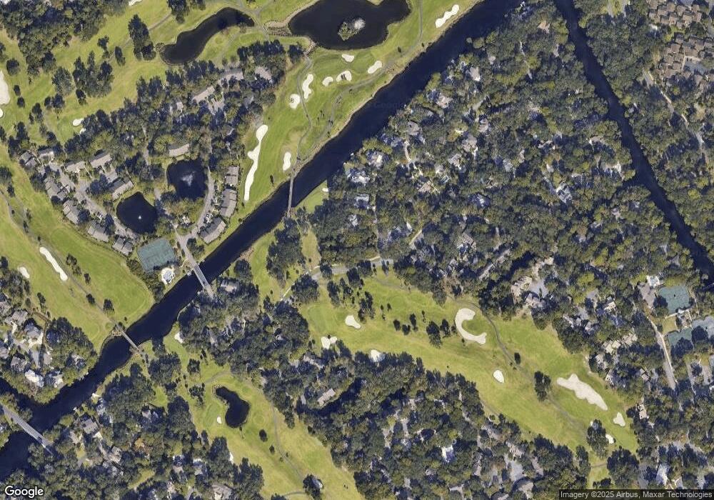
60 Carnoustie Rd Unit 933 Hilton Head Island, SC 29928
Palmetto Dunes NeighborhoodEstimated Value: $721,003 - $803,000
2
Beds
2
Baths
1,450
Sq Ft
$524/Sq Ft
Est. Value
About This Home
This home is located at 60 Carnoustie Rd Unit 933, Hilton Head Island, SC 29928 and is currently estimated at $759,501, approximately $523 per square foot. 60 Carnoustie Rd Unit 933 is a home located in Beaufort County with nearby schools including Hilton Head Island Early Childhood Center, Hilton Head Island Elementary School, and Hilton Head Island Middle School.
Ownership History
Date
Name
Owned For
Owner Type
Purchase Details
Closed on
Apr 19, 2021
Sold by
De Sa Catherine
Bought by
De Sa Jeanne M and Oharra Josh
Current Estimated Value
Purchase Details
Closed on
Jun 18, 2002
Sold by
Duval Louis Daniel and Duval Julia H
Bought by
Desa Edward D and Desa Catherine
Home Financials for this Owner
Home Financials are based on the most recent Mortgage that was taken out on this home.
Original Mortgage
$110,000
Interest Rate
5.37%
Mortgage Type
Purchase Money Mortgage
Create a Home Valuation Report for This Property
The Home Valuation Report is an in-depth analysis detailing your home's value as well as a comparison with similar homes in the area
Home Values in the Area
Average Home Value in this Area
Purchase History
| Date | Buyer | Sale Price | Title Company |
|---|---|---|---|
| De Sa Jeanne M | -- | None Available | |
| Desa Edward D | $258,000 | -- |
Source: Public Records
Mortgage History
| Date | Status | Borrower | Loan Amount |
|---|---|---|---|
| Previous Owner | Desa Edward D | $110,000 |
Source: Public Records
Tax History Compared to Growth
Tax History
| Year | Tax Paid | Tax Assessment Tax Assessment Total Assessment is a certain percentage of the fair market value that is determined by local assessors to be the total taxable value of land and additions on the property. | Land | Improvement |
|---|---|---|---|---|
| 2024 | $5,832 | $22,510 | $0 | $0 |
| 2023 | $5,772 | $22,510 | $0 | $0 |
| 2022 | $5,232 | $19,580 | $0 | $0 |
| 2021 | $5,248 | $19,580 | $0 | $0 |
| 2020 | $5,088 | $19,580 | $0 | $0 |
| 2019 | $4,929 | $19,580 | $0 | $0 |
| 2018 | $4,690 | $19,580 | $0 | $0 |
| 2017 | $4,995 | $20,010 | $0 | $0 |
| 2016 | $4,767 | $20,010 | $0 | $0 |
| 2014 | $3,469 | $20,010 | $0 | $0 |
Source: Public Records
Map
Nearby Homes
- 60 Carnoustie Rd Unit 928
- 60 Carnoustie Rd Unit 983
- 60 Carnoustie Rd Unit 997
- 35 Carnoustie Rd Unit 57
- 35 Carnoustie Rd Unit 56
- 59 Carnoustie Rd Unit 287
- 59 Carnoustie Rd Unit 241
- 59 Carnoustie Rd Unit 243
- 37 Queens Way
- 20 Queens Folly Rd Unit 1863
- 20 Queens Folly Rd Unit 1667
- 20 Queens Folly Rd Unit 1981
- 20 Queens Folly Rd Unit 1661
- 20 Queens Folly Rd Unit 1677
- 20 Queens Folly Rd Unit 1782
- 16 Cartgate Dr
- 45 Queens Folly Rd Unit 633
- 45 Queens Folly Rd Unit 652
- 45 Queens Folly Rd Unit 529
- 45 Queens Folly Rd Unit 671
- 60 Carnoustie Rd Unit 919
- 60 Carnoustie Rd Unit 907
- 60 Carnoustie Rd Unit 926
- 60 Carnoustie Rd Unit 994
- 60 Carnoustie Rd Unit 975
- 60 Carnoustie Rd Unit 974
- 60 Carnoustie Rd Unit 963
- 60 Carnoustie Rd Unit 955
- 60 Carnoustie Rd Unit 949
- 60 Carnoustie Rd Unit H25
- 60 Carnoustie Rd Unit F20
- 60 Carnoustie Rd Unit 903
- 60 Carnoustie Rd Unit 901
- 60 Carnoustie Rd Unit 947
- 60 Carnoustie Rd Unit 946
- 60 Carnoustie Rd Unit 940
- 60 Carnoustie Rd Unit 924
- 60 Carnoustie Rd Unit 944
- 60 Carnoustie Rd Unit 993
- 60 Carnoustie Rd Unit 987
