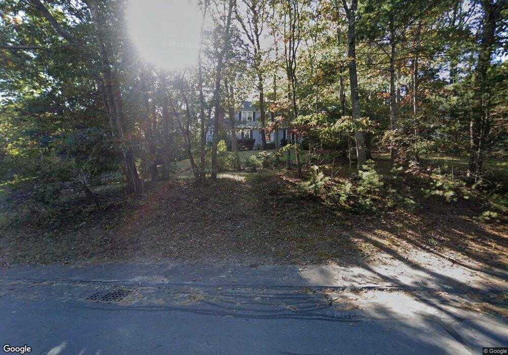
60 Carolina Trail Marshfield, MA 02050
Estimated Value: $841,000 - $928,000
4
Beds
3
Baths
2,127
Sq Ft
$418/Sq Ft
Est. Value
About This Home
This home is located at 60 Carolina Trail, Marshfield, MA 02050 and is currently estimated at $888,580, approximately $417 per square foot. 60 Carolina Trail is a home located in Plymouth County with nearby schools including South River, Furnace Brook Middle School, and Marshfield High School.
Ownership History
Date
Name
Owned For
Owner Type
Purchase Details
Closed on
Jun 17, 2005
Sold by
Montanari Gerald J and Montanari Clare A
Bought by
Hubbard Shaun P and Macgregor Dawn A
Current Estimated Value
Home Financials for this Owner
Home Financials are based on the most recent Mortgage that was taken out on this home.
Original Mortgage
$144,750
Interest Rate
5.78%
Mortgage Type
Purchase Money Mortgage
Create a Home Valuation Report for This Property
The Home Valuation Report is an in-depth analysis detailing your home's value as well as a comparison with similar homes in the area
Home Values in the Area
Average Home Value in this Area
Purchase History
| Date | Buyer | Sale Price | Title Company |
|---|---|---|---|
| Hubbard Shaun P | $579,000 | -- | |
| Hubbard Shaun P | $579,000 | -- |
Source: Public Records
Mortgage History
| Date | Status | Borrower | Loan Amount |
|---|---|---|---|
| Open | Hubbard Shaun P | $125,000 | |
| Closed | Hubbard Shaun P | $144,750 | |
| Open | Hubbard Shaun P | $376,350 | |
| Previous Owner | Hubbard Shaun P | $52,400 |
Source: Public Records
Tax History Compared to Growth
Tax History
| Year | Tax Paid | Tax Assessment Tax Assessment Total Assessment is a certain percentage of the fair market value that is determined by local assessors to be the total taxable value of land and additions on the property. | Land | Improvement |
|---|---|---|---|---|
| 2025 | $7,743 | $782,100 | $320,300 | $461,800 |
| 2024 | $7,523 | $724,100 | $305,000 | $419,100 |
| 2023 | $7,323 | $646,900 | $283,200 | $363,700 |
| 2022 | $7,265 | $561,000 | $251,100 | $309,900 |
| 2021 | $7,000 | $530,700 | $251,100 | $279,600 |
| 2020 | $6,684 | $501,400 | $229,300 | $272,100 |
| 2019 | $6,507 | $486,300 | $229,300 | $257,000 |
| 2018 | $6,434 | $481,200 | $229,300 | $251,900 |
| 2017 | $6,350 | $462,800 | $229,300 | $233,500 |
| 2016 | $6,211 | $447,500 | $229,300 | $218,200 |
| 2015 | $5,879 | $442,400 | $229,300 | $213,100 |
| 2014 | $5,796 | $436,100 | $229,300 | $206,800 |
Source: Public Records
Map
Nearby Homes
- 47 Carolina Trail
- 480 Ferry St
- 341 Furnace St
- 235 Main St
- 39 High Beacon Way
- 899 Old Main Street Extension
- 167 Planting Field Rd
- 2 Proprietors Dr Unit 23
- 1155 Main St
- 95 Telegraph Hill Rd
- 566 Holly Rd
- 311 S River St
- 14 Red Pony Path
- 8 Duxbury St
- 92 Salt Meadow Waye
- 3 Summer St
- 4 Summer St
- 451 School St Unit 5-2
- 451 School St Unit 3-4
- 120 Holly Rd
- 62 Carolina Trail
- 58 Carolina Trail
- 64 Carolina Trail
- 56 Carolina Trail
- 61 Carolina Trail
- 63 Carolina Trail
- 785 Eames Way
- 765 Eames Way
- 54 Carolina Trail
- 775 Eames Way
- 66 Carolina Trail
- 755 Eames Way
- 65 Carolina Trail
- 795 Eames Way
- 805 Eames Way
- 59 Carolina Trail
- 52 Carolina Trail
- 745 Eames Way
- 815 Eames Way
- 67 Carolina Trail