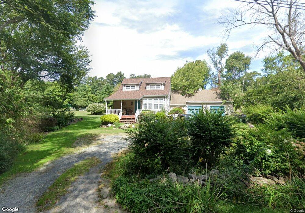
60 Cedar St Rehoboth, MA 02769
Estimated Value: $499,258 - $658,000
3
Beds
2
Baths
1,344
Sq Ft
$429/Sq Ft
Est. Value
About This Home
This home is located at 60 Cedar St, Rehoboth, MA 02769 and is currently estimated at $576,315, approximately $428 per square foot. 60 Cedar St is a home located in Bristol County with nearby schools including Dighton-Rehoboth Regional High School.
Ownership History
Date
Name
Owned For
Owner Type
Purchase Details
Closed on
Nov 19, 2008
Sold by
Est Nyzio Joseph C and Crimmins Rebecca L
Bought by
Laureanno Paula J and Sandy Timothy J
Current Estimated Value
Home Financials for this Owner
Home Financials are based on the most recent Mortgage that was taken out on this home.
Original Mortgage
$242,550
Interest Rate
6.03%
Mortgage Type
Purchase Money Mortgage
Purchase Details
Closed on
Jul 15, 1994
Sold by
Vandenberg Albert J and Vandenberg Sara
Bought by
Nowak Suzanne J
Create a Home Valuation Report for This Property
The Home Valuation Report is an in-depth analysis detailing your home's value as well as a comparison with similar homes in the area
Home Values in the Area
Average Home Value in this Area
Purchase History
| Date | Buyer | Sale Price | Title Company |
|---|---|---|---|
| Laureanno Paula J | $269,500 | -- | |
| Nowak Suzanne J | $58,000 | -- |
Source: Public Records
Mortgage History
| Date | Status | Borrower | Loan Amount |
|---|---|---|---|
| Open | Nowak Suzanne J | $253,029 | |
| Closed | Laureanno Paula J | $242,550 | |
| Previous Owner | Nowak Suzanne J | $116,600 | |
| Previous Owner | Nowak Suzanne J | $30,000 | |
| Previous Owner | Nowak Suzanne J | $94,000 |
Source: Public Records
Tax History
| Year | Tax Paid | Tax Assessment Tax Assessment Total Assessment is a certain percentage of the fair market value that is determined by local assessors to be the total taxable value of land and additions on the property. | Land | Improvement |
|---|---|---|---|---|
| 2025 | $46 | $408,500 | $172,900 | $235,600 |
| 2024 | $4,040 | $355,600 | $172,900 | $182,700 |
| 2023 | $3,975 | $343,300 | $169,300 | $174,000 |
| 2022 | $3,654 | $288,400 | $169,300 | $119,100 |
| 2021 | $3,562 | $276,800 | $161,500 | $115,300 |
| 2020 | $3,480 | $265,600 | $161,500 | $104,100 |
| 2018 | $3,072 | $256,600 | $153,700 | $102,900 |
| 2017 | $3,505 | $256,600 | $153,700 | $102,900 |
| 2016 | $3,118 | $256,600 | $153,700 | $102,900 |
| 2015 | $3,022 | $245,500 | $146,500 | $99,000 |
| 2014 | $2,887 | $232,100 | $139,300 | $92,800 |
Source: Public Records
Map
Nearby Homes
Your Personal Tour Guide
Ask me questions while you tour the home.