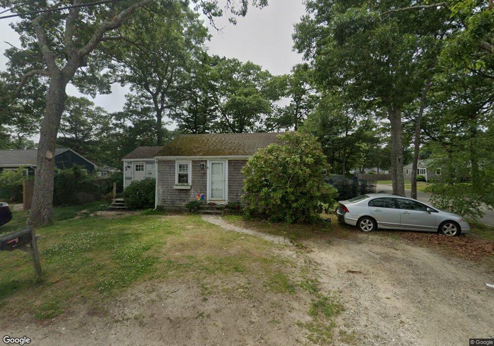
60 Cohasset Rd Buzzards Bay, MA 02532
Estimated Value: $367,041 - $396,000
2
Beds
1
Bath
624
Sq Ft
$605/Sq Ft
Est. Value
About This Home
This home is located at 60 Cohasset Rd, Buzzards Bay, MA 02532 and is currently estimated at $377,510, approximately $604 per square foot. 60 Cohasset Rd is a home.
Ownership History
Date
Name
Owned For
Owner Type
Purchase Details
Closed on
May 4, 2007
Sold by
Durkin Veronica C
Bought by
Durkin Veronica C and Lynch Kellie A
Current Estimated Value
Home Financials for this Owner
Home Financials are based on the most recent Mortgage that was taken out on this home.
Original Mortgage
$97,000
Outstanding Balance
$58,616
Interest Rate
6.23%
Mortgage Type
Purchase Money Mortgage
Estimated Equity
$318,894
Create a Home Valuation Report for This Property
The Home Valuation Report is an in-depth analysis detailing your home's value as well as a comparison with similar homes in the area
Purchase History
| Date | Buyer | Sale Price | Title Company |
|---|---|---|---|
| Durkin Veronica C | -- | -- | |
| Durkin Veronica C | -- | -- |
Source: Public Records
Mortgage History
| Date | Status | Borrower | Loan Amount |
|---|---|---|---|
| Open | Durkin Veronica C | $97,000 | |
| Closed | Durkin Veronica C | $97,000 |
Source: Public Records
Tax History
| Year | Tax Paid | Tax Assessment Tax Assessment Total Assessment is a certain percentage of the fair market value that is determined by local assessors to be the total taxable value of land and additions on the property. | Land | Improvement |
|---|---|---|---|---|
| 2025 | $3,256 | $296,500 | $118,600 | $177,900 |
| 2024 | $3,300 | $282,500 | $92,000 | $190,500 |
| 2023 | $3,089 | $251,100 | $83,700 | $167,400 |
| 2022 | $2,879 | $211,400 | $83,700 | $127,700 |
| 2021 | $2,709 | $193,500 | $83,700 | $109,800 |
| 2020 | $2,557 | $186,500 | $83,700 | $102,800 |
| 2019 | $2,345 | $172,900 | $78,600 | $94,300 |
| 2018 | $2,304 | $164,100 | $78,600 | $85,500 |
| 2017 | $2,170 | $155,200 | $78,600 | $76,600 |
| 2016 | $1,992 | $141,400 | $75,500 | $65,900 |
| 2015 | $1,937 | $141,400 | $75,500 | $65,900 |
| 2014 | $1,835 | $138,100 | $75,500 | $62,600 |
Source: Public Records
Map
Nearby Homes
- 67 Algonquin St
- 60 Martin St
- 29 Wenonah Rd
- 92 Choctaw Dr
- 29 Wenonah Rd
- 3132 Cranberry Hwy Unit 59
- 13 Bay Pointe Drive Extension
- 13 Bay Pointe Drive Extension Unit 13
- 22 Long Neck Rd
- 1 Downey St
- 3 Fairway Dr Unit F
- 11 Buzzards Bay Dr
- 29 Walnut St
- 4 22nd St
- 23 Starboard Dr Unit Lot 50
- 3040 Cranberry Hwy Unit 41
- 3040 Cranberry Hwy Unit 16
- 3040 Cranberry Hwy Unit 32
- 11 22nd St
- 4 Van Bummel Rd
Your Personal Tour Guide
Ask me questions while you tour the home.