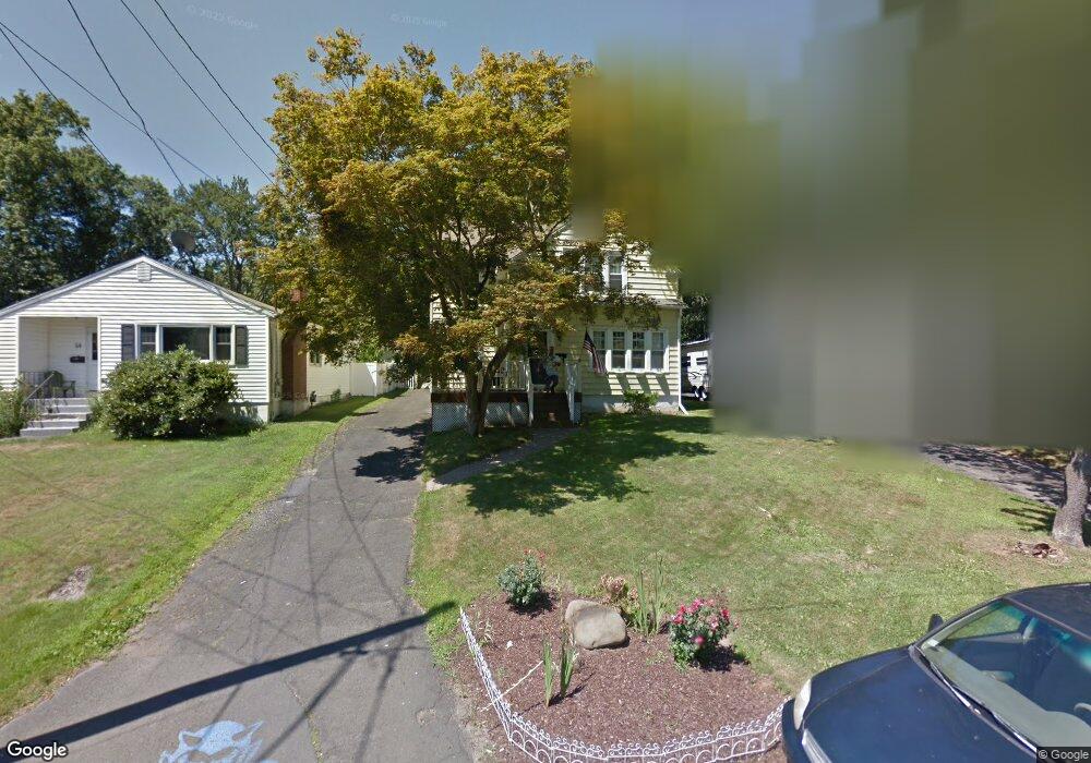
60 Colonial Blvd West Haven, CT 06516
West Shore NeighborhoodEstimated Value: $463,128 - $540,000
3
Beds
2
Baths
2,244
Sq Ft
$221/Sq Ft
Est. Value
About This Home
This home is located at 60 Colonial Blvd, West Haven, CT 06516 and is currently estimated at $495,282, approximately $220 per square foot. 60 Colonial Blvd is a home located in New Haven County with nearby schools including Carrigan 5/6 Intermediate School, Harry M. Bailey Middle School, and West Haven High School.
Ownership History
Date
Name
Owned For
Owner Type
Purchase Details
Closed on
Jan 22, 2001
Sold by
Dorsi Lorrayne M
Bought by
Reiss Robert M and Reiss Kathleen H
Current Estimated Value
Create a Home Valuation Report for This Property
The Home Valuation Report is an in-depth analysis detailing your home's value as well as a comparison with similar homes in the area
Home Values in the Area
Average Home Value in this Area
Purchase History
| Date | Buyer | Sale Price | Title Company |
|---|---|---|---|
| Reiss Robert M | $180,000 | -- | |
| Reiss Robert M | $180,000 | -- |
Source: Public Records
Mortgage History
| Date | Status | Borrower | Loan Amount |
|---|---|---|---|
| Open | Reiss Robert M | $73,000 | |
| Closed | Reiss Robert M | $16,300 | |
| Closed | Reiss Robert M | $25,000 |
Source: Public Records
Tax History
| Year | Tax Paid | Tax Assessment Tax Assessment Total Assessment is a certain percentage of the fair market value that is determined by local assessors to be the total taxable value of land and additions on the property. | Land | Improvement |
|---|---|---|---|---|
| 2025 | $9,330 | $283,850 | $92,260 | $191,590 |
| 2024 | $8,863 | $189,140 | $63,910 | $125,230 |
| 2023 | $8,530 | $189,140 | $63,910 | $125,230 |
| 2022 | $8,377 | $189,140 | $63,910 | $125,230 |
| 2021 | $8,377 | $189,140 | $63,910 | $125,230 |
| 2020 | $8,228 | $169,260 | $58,590 | $110,670 |
| 2019 | $7,965 | $169,260 | $58,590 | $110,670 |
| 2018 | $7,852 | $169,260 | $58,590 | $110,670 |
| 2017 | $7,640 | $169,260 | $58,590 | $110,670 |
| 2016 | $7,556 | $169,260 | $58,590 | $110,670 |
| 2015 | $7,518 | $188,510 | $66,080 | $122,430 |
| 2014 | $7,518 | $188,510 | $66,080 | $122,430 |
Source: Public Records
Map
Nearby Homes
- 18 Albion Ave
- 145 Honor Rd
- 164 Arlington St
- 118 Arlington St
- 86 Roosevelt Ave
- 22 Parker Ave
- 99 Roosevelt Ave
- 45 Arlington St
- 74 Wilson Ave
- 55 Prospect Ave
- 920 Ocean Ave Unit E1
- 23 Warner Ave
- 68 South St
- 43 Contact Dr
- 62 Strathmore Rd
- 11 Woodruff St
- 24 Big Spruce Ln
- 83 Pauline Ave
- 157 Woodvale Rd
- 144 Hilltop Ln
Your Personal Tour Guide
Ask me questions while you tour the home.