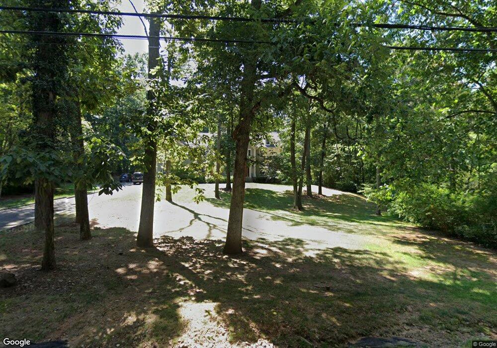
60 Culberson Rd Basking Ridge, NJ 07920
Estimated Value: $1,985,768 - $2,179,000
Studio
--
Bath
4,901
Sq Ft
$427/Sq Ft
Est. Value
About This Home
This home is located at 60 Culberson Rd, Basking Ridge, NJ 07920 and is currently estimated at $2,090,442, approximately $426 per square foot. 60 Culberson Rd is a home located in Somerset County with nearby schools including Oak Street Elementary School, William Annin Middle School, and Ridge High School.
Ownership History
Date
Name
Owned For
Owner Type
Purchase Details
Closed on
Jul 28, 2006
Sold by
Rica Properties Llc
Bought by
Wylie Matthew J and Wylie Elizabeth A
Current Estimated Value
Home Financials for this Owner
Home Financials are based on the most recent Mortgage that was taken out on this home.
Original Mortgage
$150,000
Outstanding Balance
$89,617
Interest Rate
6.67%
Mortgage Type
Purchase Money Mortgage
Estimated Equity
$2,000,825
Purchase Details
Closed on
Jul 21, 2004
Sold by
Saxon Richard A
Bought by
Rica Properties Llc
Home Financials for this Owner
Home Financials are based on the most recent Mortgage that was taken out on this home.
Original Mortgage
$737,500
Interest Rate
6.28%
Create a Home Valuation Report for This Property
The Home Valuation Report is an in-depth analysis detailing your home's value as well as a comparison with similar homes in the area
Home Values in the Area
Average Home Value in this Area
Purchase History
| Date | Buyer | Sale Price | Title Company |
|---|---|---|---|
| Wylie Matthew J | $1,598,750 | -- | |
| Wylie Matthew J | $1,598,750 | None Available | |
| Rica Properties Llc | $650,000 | -- |
Source: Public Records
Mortgage History
| Date | Status | Borrower | Loan Amount |
|---|---|---|---|
| Open | Wylie Matthew J | $150,000 | |
| Open | Wylie Matthew J | $417,000 | |
| Previous Owner | Rica Properties Llc | $737,500 |
Source: Public Records
Tax History
| Year | Tax Paid | Tax Assessment Tax Assessment Total Assessment is a certain percentage of the fair market value that is determined by local assessors to be the total taxable value of land and additions on the property. | Land | Improvement |
|---|---|---|---|---|
| 2025 | $29,371 | $1,765,400 | $455,800 | $1,309,600 |
| 2024 | $29,371 | $1,651,000 | $406,300 | $1,244,700 |
| 2023 | $28,607 | $1,516,800 | $406,300 | $1,110,500 |
| 2022 | $28,550 | $1,419,700 | $406,300 | $1,013,400 |
| 2021 | $29,069 | $1,377,700 | $406,300 | $971,400 |
| 2020 | $28,728 | $1,371,900 | $406,300 | $965,600 |
| 2019 | $28,551 | $1,403,700 | $406,300 | $997,400 |
| 2018 | $28,234 | $1,408,200 | $406,300 | $1,001,900 |
| 2017 | $28,234 | $1,419,500 | $406,300 | $1,013,200 |
| 2016 | $27,907 | $1,430,400 | $406,300 | $1,024,100 |
| 2015 | $26,699 | $1,393,500 | $411,100 | $982,400 |
| 2014 | $25,809 | $1,334,500 | $433,600 | $900,900 |
Source: Public Records
Map
Nearby Homes
- 50 Culberson Rd
- 67 Culberson Rd
- 115 S Alward Ave
- 84 Culberson Rd
- 55 Culberson Rd
- 104 S Alward Ave
- 112 S Alward Ave
- 90 Culberson Rd
- 40 Culberson Rd
- 71 S Alward Ave
- 73 S Alward Ave
- 75 S Alward Ave
- 45 Culberson Rd
- 3 Dogwood Way
- 15 Dogwood Way
- 124 S Alward Ave
- 89 Culberson Rd
- 96 Culberson Rd
- 28 Spruce St
- 65 S Alward Ave
Your Personal Tour Guide
Ask me questions while you tour the home.