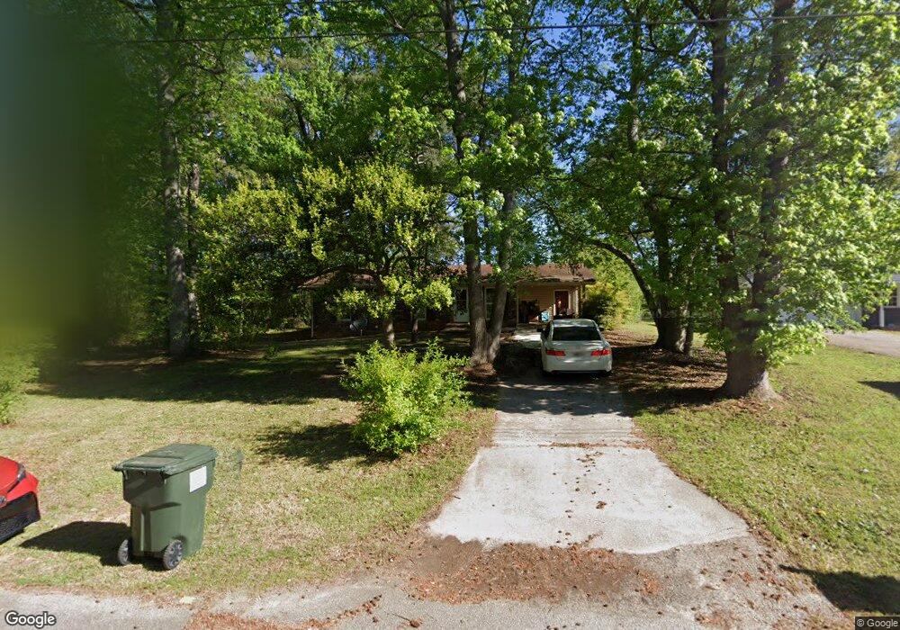
60 Curtis Dr Carrollton, GA 30117
Abilene NeighborhoodEstimated Value: $160,953 - $208,000
3
Beds
1
Bath
1,008
Sq Ft
$182/Sq Ft
Est. Value
About This Home
This home is located at 60 Curtis Dr, Carrollton, GA 30117 and is currently estimated at $183,738, approximately $182 per square foot. 60 Curtis Dr is a home located in Carroll County with nearby schools including Sharp Creek Elementary School, Temple Middle School, and Temple High School.
Ownership History
Date
Name
Owned For
Owner Type
Purchase Details
Closed on
Mar 8, 2016
Sold by
Tinch John
Bought by
Carroll County Properties Llc
Current Estimated Value
Purchase Details
Closed on
May 15, 1998
Sold by
Jiles Janet
Bought by
Tinch John
Purchase Details
Closed on
Apr 11, 1988
Bought by
Jiles Janet
Create a Home Valuation Report for This Property
The Home Valuation Report is an in-depth analysis detailing your home's value as well as a comparison with similar homes in the area
Home Values in the Area
Average Home Value in this Area
Purchase History
| Date | Buyer | Sale Price | Title Company |
|---|---|---|---|
| Carroll County Properties Llc | $32,500 | -- | |
| Tinch John | $65,900 | -- | |
| Jiles Janet | -- | -- |
Source: Public Records
Tax History Compared to Growth
Tax History
| Year | Tax Paid | Tax Assessment Tax Assessment Total Assessment is a certain percentage of the fair market value that is determined by local assessors to be the total taxable value of land and additions on the property. | Land | Improvement |
|---|---|---|---|---|
| 2024 | $625 | $27,649 | $3,190 | $24,459 |
| 2023 | $625 | $27,649 | $3,191 | $24,458 |
| 2022 | $693 | $27,649 | $4,000 | $23,649 |
| 2021 | $541 | $21,121 | $4,000 | $17,121 |
| 2020 | $542 | $21,121 | $4,000 | $17,121 |
| 2019 | $547 | $21,121 | $4,000 | $17,121 |
| 2018 | $436 | $16,592 | $4,000 | $12,592 |
| 2017 | $342 | $16,592 | $4,000 | $12,592 |
| 2016 | $372 | $16,592 | $4,000 | $12,592 |
| 2015 | $510 | $18,241 | $4,000 | $14,241 |
| 2014 | $512 | $18,241 | $4,000 | $14,241 |
Source: Public Records
Map
Nearby Homes
- 2519 Hog Liver Rd
- 2930 Hog Liver Rd
- 25 Adalee Rd
- 0000 Hog Liver Rd
- 177 Garnett Point Dr
- 102 Buell Jones Rd
- 45 Buell Jones Rd
- 1015 Mote Rd
- 1800 Mandeville Rd
- 125 Springwood Dr
- 114 Kyle Way
- 219 Candlewood Dr
- 1196 N Highway 113
- 138 Zachary Dr
- 0 Henson Cir Unit 10584639
- 0 Henson Cir Unit 7632920
- 446 McGukin Rd
- 70 Henson Cir
- 60 Curtis Dr Unit 65
- 70 Curtis Dr
- 80 Curtis Dr
- 0 Curtis Dr Unit 8556431
- 30 Curtis Dr
- 90 Curtis Dr
- 115 Kimberly Dr
- 20 Curtis Dr
- 105 Kimberly Dr
- 100 Kimberly Dr
- 10 Curtis Dr
- 1371 Pleasant Ridge Rd
- 70 Kimberly Dr
- 1345 Pleasant Ridge Rd
- 1004 Spence Rd
- 65 Kimberly Dr
- 1388 Pleasant Ridge Rd
- 1335 Pleasant Ridge Rd
- 1020 Spence Rd
- 50 Kimberly Dr