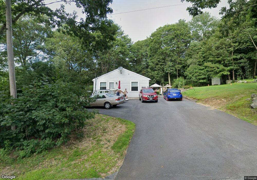
60 Davis St Rutland, MA 01543
Estimated Value: $423,000 - $526,000
4
Beds
2
Baths
1,680
Sq Ft
$281/Sq Ft
Est. Value
About This Home
This home is located at 60 Davis St, Rutland, MA 01543 and is currently estimated at $472,770, approximately $281 per square foot. 60 Davis St is a home located in Worcester County with nearby schools including Wachusett Regional High School.
Ownership History
Date
Name
Owned For
Owner Type
Purchase Details
Closed on
Feb 16, 2005
Sold by
7 Hills Cmnty Svcs Inc
Bought by
Jensen Dawn M and Jensen Erik J
Current Estimated Value
Home Financials for this Owner
Home Financials are based on the most recent Mortgage that was taken out on this home.
Original Mortgage
$43,000
Outstanding Balance
$21,899
Interest Rate
5.78%
Mortgage Type
Purchase Money Mortgage
Estimated Equity
$450,871
Create a Home Valuation Report for This Property
The Home Valuation Report is an in-depth analysis detailing your home's value as well as a comparison with similar homes in the area
Home Values in the Area
Average Home Value in this Area
Purchase History
| Date | Buyer | Sale Price | Title Company |
|---|---|---|---|
| Jensen Dawn M | $215,000 | -- |
Source: Public Records
Mortgage History
| Date | Status | Borrower | Loan Amount |
|---|---|---|---|
| Open | Jensen Dawn M | $43,000 |
Source: Public Records
Tax History Compared to Growth
Tax History
| Year | Tax Paid | Tax Assessment Tax Assessment Total Assessment is a certain percentage of the fair market value that is determined by local assessors to be the total taxable value of land and additions on the property. | Land | Improvement |
|---|---|---|---|---|
| 2025 | $5,433 | $381,500 | $88,400 | $293,100 |
| 2024 | $5,409 | $364,700 | $84,500 | $280,200 |
| 2023 | $4,993 | $363,900 | $79,700 | $284,200 |
| 2022 | $4,835 | $306,200 | $67,300 | $238,900 |
| 2021 | $4,531 | $271,300 | $67,300 | $204,000 |
| 2020 | $4,607 | $261,600 | $63,600 | $198,000 |
| 2019 | $4,464 | $249,500 | $60,600 | $188,900 |
| 2018 | $4,177 | $230,400 | $60,600 | $169,800 |
| 2017 | $4,093 | $223,400 | $60,600 | $162,800 |
| 2016 | $3,880 | $223,400 | $59,800 | $163,600 |
| 2015 | $3,611 | $204,600 | $59,800 | $144,800 |
| 2014 | $3,501 | $204,600 | $59,800 | $144,800 |
Source: Public Records
Map
Nearby Homes
- 2 Simon Davis Dr
- 35 Brintnal Dr
- 81 Glenwood Place
- 73 Brintnal Dr
- 101 Brintnal Dr
- 45 Old Colony Rd
- 271 Glenwood Rd
- 175 Glenwood Rd
- 40 Brunelle Dr
- 75 Barre Rd
- 16 Richards Ave
- 56 Hubbardston Rd
- 55 Pommogussett Rd
- 147 E County Rd Unit 149
- 25 Watson Ln
- 105 Hale Rd
- 1 Barre Road Cut Off
- 5 Miles Rd
- 32 Pommogussett Rd Unit 1
- 51 Woodside Ave
- 45 Davis St
- 511 E County Rd
- 507 E County Rd
- 0 E County Rd Unit 72395757
- 0 E County Rd Unit 72395756
- 0 E County Rd Unit 72395754
- 0 E County Rd Unit 72395753
- 0 E County Rd Unit 72357347
- 0 E County Rd Unit 72357346
- 0 E County Rd Unit 71010408
- 0 E County Rd Unit 71254483
- 0 E County Rd Unit 71661244
- 0 E County Rd Unit 71953755
- 0 E County Rd Unit 72845809
- 0 E County Rd Unit 72845808
- 0 E County Rd Unit 72661001
- 46 Davis St
- 0 Intervale Rd
- Lot A Turkey Hill Rd
- 2 River Rd