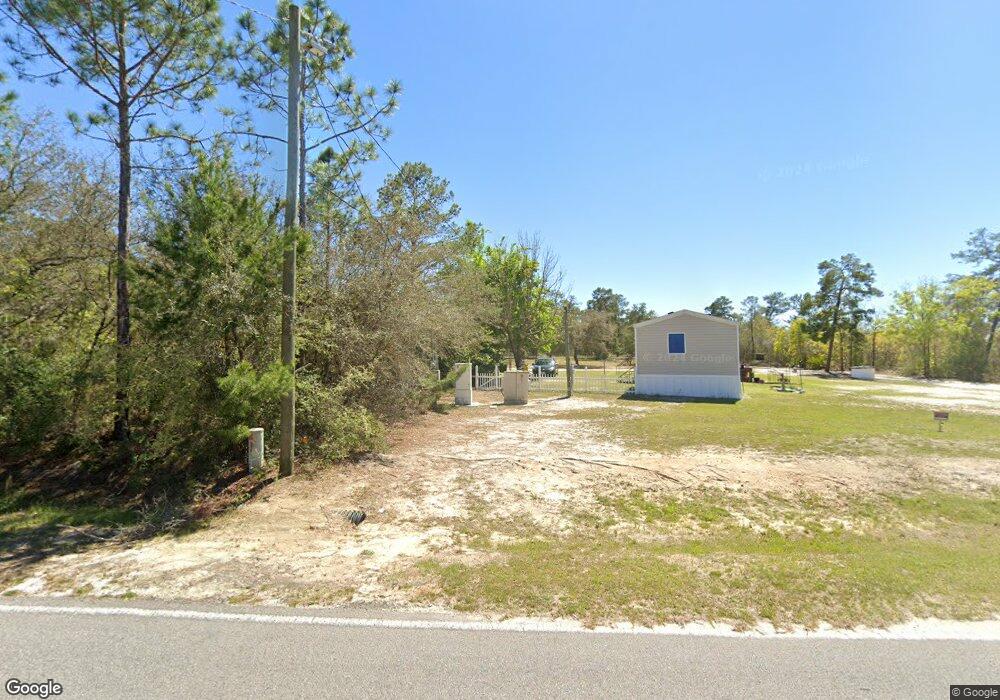
60 Don Graff Rd Freeport, FL 32439
Estimated Value: $366,000 - $519,000
--
Bed
5
Baths
2,818
Sq Ft
$165/Sq Ft
Est. Value
About This Home
This home is located at 60 Don Graff Rd, Freeport, FL 32439 and is currently estimated at $465,866, approximately $165 per square foot. 60 Don Graff Rd is a home located in Walton County with nearby schools including Freeport Elementary School, Freeport Middle School, and Freeport Senior High School.
Ownership History
Date
Name
Owned For
Owner Type
Purchase Details
Closed on
Oct 17, 2006
Sold by
Warner William Louis and Warner Kathy Ann
Bought by
Warner Kathy Ann
Current Estimated Value
Purchase Details
Closed on
Jun 27, 2005
Sold by
Cavallo James and Dyer Bevin
Bought by
Warner William L and Warner Kathy A
Purchase Details
Closed on
Jan 15, 2004
Sold by
Raines John T and Raines Sheila T
Bought by
Cavallo James and Dyer Bevin
Home Financials for this Owner
Home Financials are based on the most recent Mortgage that was taken out on this home.
Original Mortgage
$108,800
Interest Rate
6.03%
Mortgage Type
Purchase Money Mortgage
Purchase Details
Closed on
Feb 21, 2001
Sold by
Creekwood Lands Inc
Bought by
Raines John T and Raines Sheila T
Create a Home Valuation Report for This Property
The Home Valuation Report is an in-depth analysis detailing your home's value as well as a comparison with similar homes in the area
Home Values in the Area
Average Home Value in this Area
Purchase History
| Date | Buyer | Sale Price | Title Company |
|---|---|---|---|
| Warner Kathy Ann | -- | None Available | |
| Warner William L | $305,000 | -- | |
| Cavallo James | $136,000 | -- | |
| Raines John T | $2,000 | -- | |
| Raines John T | -- | -- |
Source: Public Records
Mortgage History
| Date | Status | Borrower | Loan Amount |
|---|---|---|---|
| Previous Owner | Cavallo James | $108,800 | |
| Closed | Cavallo James | $27,200 |
Source: Public Records
Tax History Compared to Growth
Tax History
| Year | Tax Paid | Tax Assessment Tax Assessment Total Assessment is a certain percentage of the fair market value that is determined by local assessors to be the total taxable value of land and additions on the property. | Land | Improvement |
|---|---|---|---|---|
| 2024 | $943 | $136,579 | -- | -- |
| 2023 | $943 | $132,601 | $0 | $0 |
| 2022 | $932 | $128,739 | $0 | $0 |
| 2021 | $940 | $124,989 | $0 | $0 |
| 2020 | $953 | $123,263 | $22,440 | $100,823 |
| 2019 | $933 | $121,565 | $22,440 | $99,125 |
| 2018 | $918 | $119,605 | $0 | $0 |
| 2017 | $911 | $118,392 | $20,400 | $97,992 |
| 2016 | $936 | $120,162 | $0 | $0 |
| 2015 | $953 | $120,403 | $0 | $0 |
| 2014 | $992 | $122,946 | $0 | $0 |
Source: Public Records
Map
Nearby Homes
- XX J W Hollington Rd
- TBD J W Hollington Rd
- 2850 J W Hollington Rd
- 103 Alleyoak Ln
- 93 Alleyoak Ln
- Plan 1425 at The Bluffs at Lafayette
- Plan 1317 at The Bluffs at Lafayette
- Plan 1820 at The Bluffs at Lafayette
- Plan 2033 at The Bluffs at Lafayette
- Plan 1530 at The Bluffs at Lafayette
- Plan 2290 at The Bluffs at Lafayette
- Plan 2500 at The Bluffs at Lafayette
- Plan 2227 at The Bluffs at Lafayette
- Plan 1406 at The Bluffs at Lafayette
- Plan 1720 at The Bluffs at Lafayette
- Plan 1520 at The Bluffs at Lafayette
- Plan 1817 at The Bluffs at Lafayette
- Plan 1634 at The Bluffs at Lafayette
- Plan 1648 at The Bluffs at Lafayette
- Plan 2101 at The Bluffs at Lafayette
- 2500 J W Hollington Rd
- 98 Don Graff Rd
- 2414 J W Hollington Rd
- 2306 J W Hollington Rd
- XX Don Graff Rd
- 268 Don Graff Rd
- 187 Don Graff Rd
- 261 Don Graff Rd
- 332 Don Graff Rd
- 315 Don Graff Rd
- 00 J W Hollington Rd
- 000 J W Hollington Rd
- 396 Don Graff Rd
- XXX W J Hollington Rd
- 403 Don Graff Rd
- X W J Hollington Rd
- lot 42 White Oak Ln
- 453 Don Graff Rd
- TR. 16 Tr 16 Don Graff Rd
- TBD White Oak Ln