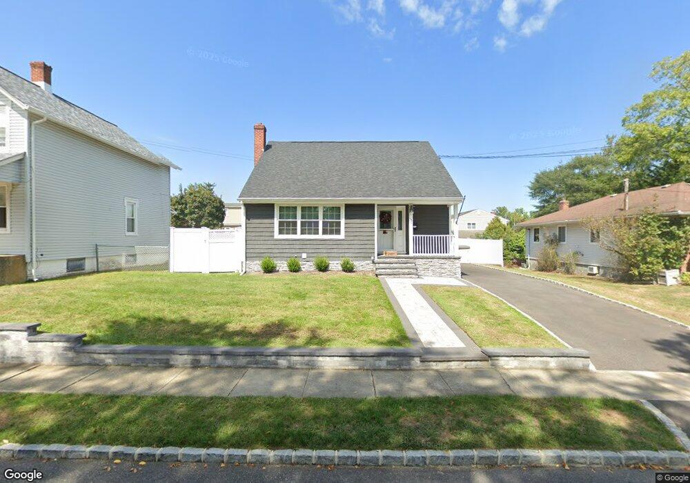
60 Dover St Lindenhurst, NY 11757
Estimated Value: $638,000 - $702,000
2
Beds
2
Baths
1,554
Sq Ft
$424/Sq Ft
Est. Value
About This Home
This home is located at 60 Dover St, Lindenhurst, NY 11757 and is currently estimated at $658,319, approximately $423 per square foot. 60 Dover St is a home located in Suffolk County with nearby schools including Daniel Street School, Lindenhurst Middle School, and Lindenhurst Senior High School.
Ownership History
Date
Name
Owned For
Owner Type
Purchase Details
Closed on
Oct 13, 2016
Sold by
Wenskus Rudolph W and Wenskus Krislyn
Bought by
Heton Nora A
Current Estimated Value
Home Financials for this Owner
Home Financials are based on the most recent Mortgage that was taken out on this home.
Original Mortgage
$300,000
Outstanding Balance
$240,811
Interest Rate
3.5%
Mortgage Type
New Conventional
Estimated Equity
$417,508
Purchase Details
Closed on
Oct 2, 2003
Sold by
Cronin James P and Cronin Kelly Anne
Bought by
Wenskus Rudolph W and Wenskus Krislyn
Home Financials for this Owner
Home Financials are based on the most recent Mortgage that was taken out on this home.
Original Mortgage
$215,000
Interest Rate
6.43%
Mortgage Type
Purchase Money Mortgage
Create a Home Valuation Report for This Property
The Home Valuation Report is an in-depth analysis detailing your home's value as well as a comparison with similar homes in the area
Home Values in the Area
Average Home Value in this Area
Purchase History
| Date | Buyer | Sale Price | Title Company |
|---|---|---|---|
| Heton Nora A | $335,000 | None Available | |
| Wenskus Rudolph W | $334,999 | -- |
Source: Public Records
Mortgage History
| Date | Status | Borrower | Loan Amount |
|---|---|---|---|
| Open | Heton Nora A | $300,000 | |
| Previous Owner | Wenskus Rudolph W | $215,000 |
Source: Public Records
Tax History Compared to Growth
Tax History
| Year | Tax Paid | Tax Assessment Tax Assessment Total Assessment is a certain percentage of the fair market value that is determined by local assessors to be the total taxable value of land and additions on the property. | Land | Improvement |
|---|---|---|---|---|
| 2024 | $13,402 | $3,410 | $280 | $3,130 |
| 2023 | $11,411 | $3,620 | $280 | $3,340 |
| 2022 | $9,537 | $3,620 | $280 | $3,340 |
| 2021 | $9,537 | $3,620 | $280 | $3,340 |
| 2020 | $11,229 | $3,620 | $280 | $3,340 |
| 2019 | $12,379 | $0 | $0 | $0 |
| 2018 | $10,804 | $3,620 | $280 | $3,340 |
| 2017 | $10,804 | $3,620 | $280 | $3,340 |
| 2016 | $9,476 | $3,620 | $280 | $3,340 |
| 2015 | -- | $3,620 | $280 | $3,340 |
| 2014 | -- | $3,620 | $280 | $3,340 |
Source: Public Records
Map
Nearby Homes
- 52 Dover St
- 22 Bristol St
- 7 Gary St
- 405 N Clinton Ave
- 22 Lenox St
- 181 S Alleghany Ave
- 247 N Greene Ave
- 196 S Broome Ave
- 37 Newark St
- 197 S 4th St
- 132 S 7th St
- 147 S 6th St
- 13 N Fulton Ave
- 468 N Greene Ave
- 143 33rd St
- 260 S Broome Ave
- 220 S Clinton Ave
- 449 N Indiana Ave
- 216 S Delaware Ave
- 261 E Hoffman Ave