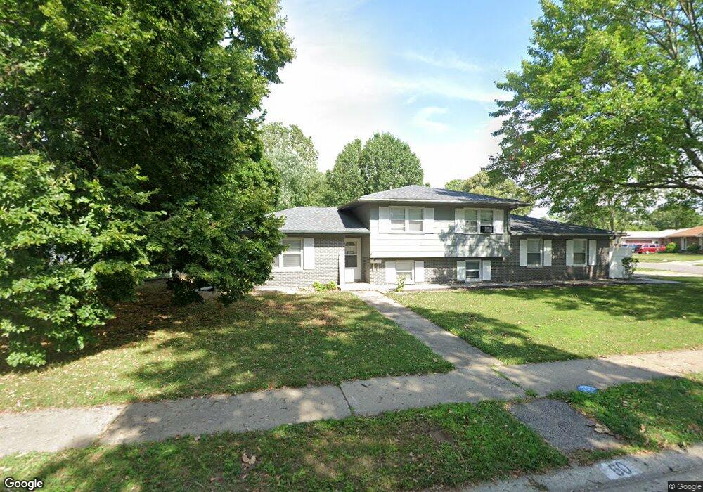
60 Drawbridge Rd Springfield, IL 62704
Westchester NeighborhoodEstimated Value: $209,000 - $227,000
3
Beds
2
Baths
1,878
Sq Ft
$116/Sq Ft
Est. Value
About This Home
This home is located at 60 Drawbridge Rd, Springfield, IL 62704 and is currently estimated at $218,489, approximately $116 per square foot. 60 Drawbridge Rd is a home located in Sangamon County with nearby schools including Sandburg Elementary School, Benjamin Franklin Middle School, and Springfield Southeast High School.
Ownership History
Date
Name
Owned For
Owner Type
Purchase Details
Closed on
Mar 5, 2018
Sold by
Reavis Christopher K and Reavis Brenda G
Bought by
Collins Burnett and Collins Brandy L
Current Estimated Value
Home Financials for this Owner
Home Financials are based on the most recent Mortgage that was taken out on this home.
Original Mortgage
$137,464
Outstanding Balance
$117,816
Interest Rate
4.75%
Mortgage Type
FHA
Estimated Equity
$100,673
Purchase Details
Closed on
Jun 22, 2004
Purchase Details
Closed on
May 26, 1999
Create a Home Valuation Report for This Property
The Home Valuation Report is an in-depth analysis detailing your home's value as well as a comparison with similar homes in the area
Home Values in the Area
Average Home Value in this Area
Purchase History
| Date | Buyer | Sale Price | Title Company |
|---|---|---|---|
| Collins Burnett | $140,000 | Zelle Title | |
| -- | $117,000 | -- | |
| -- | $106,300 | -- |
Source: Public Records
Mortgage History
| Date | Status | Borrower | Loan Amount |
|---|---|---|---|
| Open | Collins Burnett | $137,464 |
Source: Public Records
Tax History
| Year | Tax Paid | Tax Assessment Tax Assessment Total Assessment is a certain percentage of the fair market value that is determined by local assessors to be the total taxable value of land and additions on the property. | Land | Improvement |
|---|---|---|---|---|
| 2024 | $4,291 | $57,091 | $9,766 | $47,325 |
| 2023 | $4,080 | $52,147 | $8,920 | $43,227 |
| 2022 | $3,863 | $49,114 | $8,462 | $40,652 |
| 2021 | $3,715 | $47,275 | $8,145 | $39,130 |
| 2020 | $3,642 | $47,346 | $8,157 | $39,189 |
| 2019 | $3,573 | $47,181 | $8,129 | $39,052 |
| 2018 | $3,488 | $47,279 | $8,089 | $39,190 |
| 2017 | $3,626 | $49,252 | $7,983 | $41,269 |
| 2016 | $3,547 | $48,534 | $7,867 | $40,667 |
| 2015 | $3,507 | $47,954 | $7,773 | $40,181 |
| 2014 | $3,304 | $47,645 | $7,723 | $39,922 |
| 2013 | $3,230 | $45,864 | $7,724 | $38,140 |
Source: Public Records
Map
Nearby Homes
- 51 Squires Rd
- 21 Drawbridge Rd
- 49 Foresters Ln
- 53 Friars Ln
- 3132 Elmhurst Dr
- 41 Belhaven Dr
- 2709 Clifton Dr
- 3300 Haviland Dr
- 3304 Ellendale Dr
- 10 Andover Dr
- 3434 Freedom Dr
- 2216 Charlack Ave
- 3120 Cascade Dr
- 2944 Rainier Dr
- 2234 Warson Rd
- 90 Brookside Place Unit 57
- 2315 Connie Dr
- 3608 Wittington Ct
- 2505 Wydown Ave
- 2341 W White Oaks Dr
- 241 Deer Head Ln
- 50 Drawbridge Rd
- 274 Yeoman Dr
- 59 Drawbridge Rd
- 63 Drawbridge Rd
- 55 Drawbridge Rd
- 270 Yeoman Dr
- 237 Deer Head Ln
- 67 Drawbridge Rd
- 68 Drawbridge Rd
- 240 Deer Head Ln
- 51 Drawbridge Rd
- 266 Yeoman Dr
- 71 Drawbridge Rd
- 236 Deer Head Ln
- 277 Yeoman Dr
- 273 Yeoman Dr
- 54 Crusaders Rd
- 75 Drawbridge Rd
- 58 Crusaders Rd
Your Personal Tour Guide
Ask me questions while you tour the home.