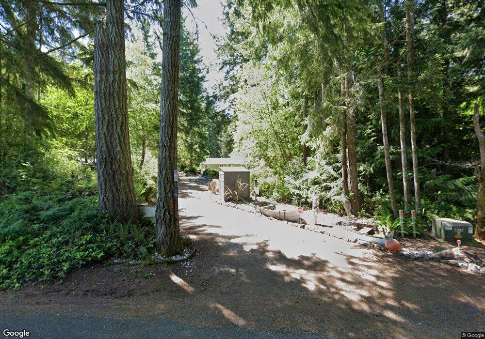
60 E Ballow Rd Shelton, WA 98584
Estimated Value: $455,000 - $562,000
3
Beds
2
Baths
1,716
Sq Ft
$298/Sq Ft
Est. Value
About This Home
This home is located at 60 E Ballow Rd, Shelton, WA 98584 and is currently estimated at $511,975, approximately $298 per square foot. 60 E Ballow Rd is a home located in Mason County with nearby schools including Pioneer Primary School and Pioneer Intermediate/Middle School.
Ownership History
Date
Name
Owned For
Owner Type
Purchase Details
Closed on
Oct 19, 2009
Sold by
Riley Melvin D and Riley Barbara A
Bought by
Mccoy Ronald L and Mccoy Barbara J
Current Estimated Value
Home Financials for this Owner
Home Financials are based on the most recent Mortgage that was taken out on this home.
Original Mortgage
$169,600
Outstanding Balance
$110,293
Interest Rate
5%
Mortgage Type
New Conventional
Estimated Equity
$401,682
Purchase Details
Closed on
Sep 17, 2007
Sold by
Durward Richard D and Durward Gay M
Bought by
Riley Melvin D and Riley Barbara A
Home Financials for this Owner
Home Financials are based on the most recent Mortgage that was taken out on this home.
Original Mortgage
$238,470
Interest Rate
6.67%
Mortgage Type
New Conventional
Purchase Details
Closed on
Aug 1, 2006
Sold by
Chadwick Calvin B and Chadwick Sarah M
Bought by
Durward Richard A and Durward Gay M
Create a Home Valuation Report for This Property
The Home Valuation Report is an in-depth analysis detailing your home's value as well as a comparison with similar homes in the area
Home Values in the Area
Average Home Value in this Area
Purchase History
| Date | Buyer | Sale Price | Title Company |
|---|---|---|---|
| Mccoy Ronald L | $212,000 | Mason County Title Ins Co | |
| Riley Melvin D | $68,000 | Land Title Co | |
| Durward Richard A | $32,000 | Mason County Title Ins Co |
Source: Public Records
Mortgage History
| Date | Status | Borrower | Loan Amount |
|---|---|---|---|
| Open | Mccoy Ronald L | $169,600 | |
| Previous Owner | Riley Melvin D | $238,470 |
Source: Public Records
Tax History Compared to Growth
Tax History
| Year | Tax Paid | Tax Assessment Tax Assessment Total Assessment is a certain percentage of the fair market value that is determined by local assessors to be the total taxable value of land and additions on the property. | Land | Improvement |
|---|---|---|---|---|
| 2025 | $2,865 | $385,230 | $43,580 | $341,650 |
| 2023 | $2,865 | $391,550 | $25,605 | $365,945 |
| 2022 | $3,525 | $367,060 | $25,100 | $341,960 |
| 2021 | $2,974 | $367,060 | $25,100 | $341,960 |
| 2020 | $2,880 | $285,160 | $25,610 | $259,550 |
| 2018 | $2,077 | $181,800 | $21,050 | $160,750 |
| 2017 | $2,326 | $181,800 | $21,050 | $160,750 |
| 2016 | $2,082 | $210,465 | $19,400 | $191,065 |
| 2015 | $1,963 | $187,820 | $19,000 | $168,820 |
| 2014 | -- | $197,055 | $20,000 | $177,055 |
| 2013 | -- | $188,820 | $20,000 | $168,820 |
Source: Public Records
Map
Nearby Homes
- 10 E Karen Jane Ln
- 2563 E South Island Dr
- 160 Elin Ln
- 31 E Sylvan Rd
- 271 E Lansky Dr
- 110 E Beach Shore Dr
- 201 E Smith Cove Way
- 15 E Smith Cove Way
- 110 E Smith Cove Way
- 382 E Bergeson Rd
- 100 E Old Winery Rd
- 5153 E Pickering Rd
- 5151 E Pickering Rd
- 130 E Old Winery Rd
- 0 E Meyers Ct
- 4540 E Pickering Rd
- 2530 xxx E North Island Dr
- 2540 xxx E North Island Dr
- 22415 S Herron Blvd NW
- 315 Herron Ln NW
- 115 E Ballow Rd
- 102 E Ballow Rd
- 190 E Harstine Island Rd N
- 0 Karen Jane Ln Unit 1325010
- 0 Karen Jane Ln Unit 1464428
- 0 Karen Jane Ln Unit 1383252
- 2 X Off Ballow Rd
- 4 E Ballow Rd
- 0 E Ballow Rd
- 1 X Off Ballow Rd
- 21 E Carrie Ann Ln
- 31 E Karen Jane Ln
- 11 E Carrie Ann Ln
- 30 E Carrie Ann Ln
- 30 E Karen Jane Ln
- 10 E Carrie Ann Ln
- 0 E Harstine Island Rd N Unit 738114
- 0 E Harstine Island Rd N Unit 623473
- 0 E Harstine Island Rd N Unit 1191871
- 0 E Harstine Island Rd N Unit 657671