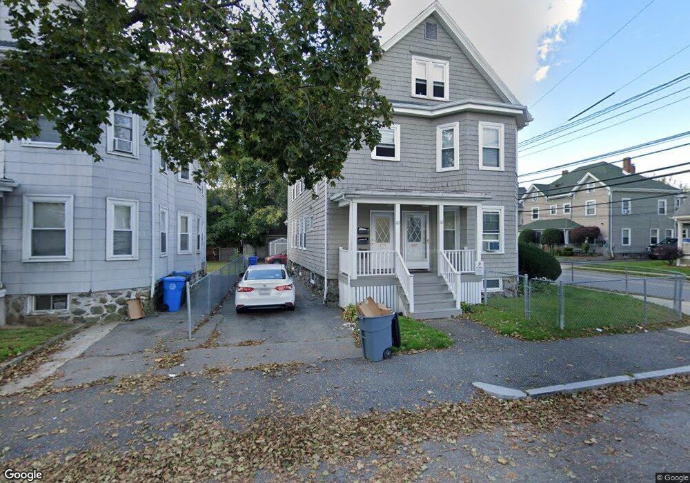
60 Fiske St Unit 62 Waltham, MA 02451
Bank Square NeighborhoodEstimated Value: $886,000 - $1,242,462
4
Beds
2
Baths
2,700
Sq Ft
$384/Sq Ft
Est. Value
About This Home
This home is located at 60 Fiske St Unit 62, Waltham, MA 02451 and is currently estimated at $1,037,116, approximately $384 per square foot. 60 Fiske St Unit 62 is a home located in Middlesex County with nearby schools including Thomas R Plympton Elementary School, John F Kennedy Middle School, and Waltham Sr High School.
Ownership History
Date
Name
Owned For
Owner Type
Purchase Details
Closed on
Dec 5, 2012
Sold by
Nesline Diane S
Bought by
Sood Parul
Current Estimated Value
Purchase Details
Closed on
Jul 1, 2011
Sold by
Gould Leroy G and Gould Ann T
Bought by
Soohoo Damon
Home Financials for this Owner
Home Financials are based on the most recent Mortgage that was taken out on this home.
Original Mortgage
$330,000
Interest Rate
4%
Mortgage Type
Purchase Money Mortgage
Create a Home Valuation Report for This Property
The Home Valuation Report is an in-depth analysis detailing your home's value as well as a comparison with similar homes in the area
Home Values in the Area
Average Home Value in this Area
Purchase History
| Date | Buyer | Sale Price | Title Company |
|---|---|---|---|
| Sood Parul | $322,500 | -- | |
| Soohoo Damon | $446,550 | -- |
Source: Public Records
Mortgage History
| Date | Status | Borrower | Loan Amount |
|---|---|---|---|
| Previous Owner | Soohoo Damon | $330,000 |
Source: Public Records
Tax History Compared to Growth
Tax History
| Year | Tax Paid | Tax Assessment Tax Assessment Total Assessment is a certain percentage of the fair market value that is determined by local assessors to be the total taxable value of land and additions on the property. | Land | Improvement |
|---|---|---|---|---|
| 2025 | $10,319 | $1,050,800 | $345,800 | $705,000 |
| 2024 | $9,419 | $977,100 | $343,700 | $633,400 |
| 2023 | $8,640 | $837,200 | $329,400 | $507,800 |
| 2022 | $8,766 | $786,900 | $300,700 | $486,200 |
| 2021 | $7,955 | $702,700 | $243,400 | $459,300 |
| 2020 | $7,667 | $641,600 | $214,800 | $426,800 |
| 2019 | $7,083 | $559,500 | $212,700 | $346,800 |
| 2018 | $6,366 | $504,800 | $196,900 | $307,900 |
| 2017 | $6,115 | $486,900 | $179,000 | $307,900 |
| 2016 | $5,960 | $486,900 | $179,000 | $307,900 |
| 2015 | $5,445 | $414,700 | $161,100 | $253,600 |
Source: Public Records
Map
Nearby Homes
- 15 Howard St
- 32 Harvard St Unit 2
- 43-45 Welligton Unit 3
- 160 School St Unit 3-1
- 39 Floyd St Unit 2
- 15 Banks St Unit 4
- 948 Main St Unit 209
- 948 Main St Unit 105
- 91 Prentice St
- 7-11.5 Felton
- 31 Weston St Unit 2
- 79-81 Vernon St
- 37 Summit St
- 55-57 Crescent St
- 70 School St
- 85 Crescent St
- 14 Claremont St
- 158 Church St
- 214 Church St
- 14 Willard St
- 60 Fiske St
- 60 Fiske St Unit 2
- 62 Fiske St Unit 1
- 62 Fiske St Unit 1F
- 60 Fiske St Unit 2F
- 56 Fiske St Unit 58
- 52 Fiske St Unit 54
- 54 Fiske St Unit 1
- 52 Fiske St Unit 2
- 54 Fiske St
- 52 Fiske St Unit 3
- 54 Fiske St Unit 3
- 52 Fiske St Unit 1
- 61 Howard St Unit 63
- 287 School St
- 291-293 School St
- 55 Fiske St Unit 3
- 55 Fiske St Unit 55
- 55 Fiske St
- 55 Fiske St Unit 1