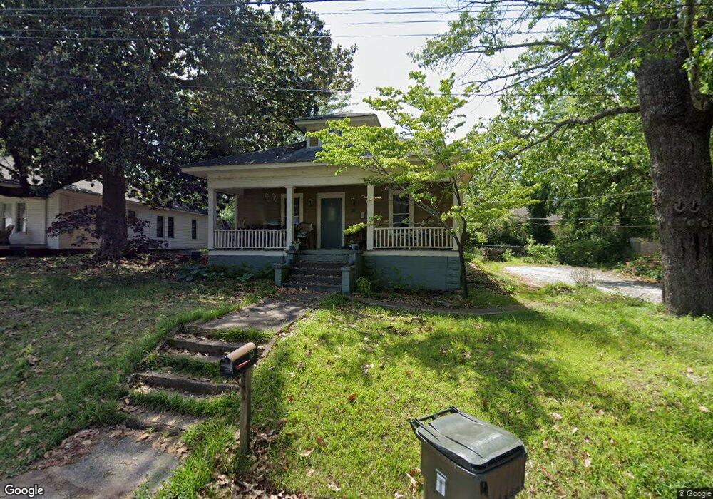
60 Forest Ave Toccoa, GA 30577
Estimated Value: $160,000 - $194,000
3
Beds
2
Baths
1,260
Sq Ft
$140/Sq Ft
Est. Value
About This Home
This home is located at 60 Forest Ave, Toccoa, GA 30577 and is currently estimated at $176,387, approximately $139 per square foot. 60 Forest Ave is a home located in Stephens County with nearby schools including Stephens County High School.
Ownership History
Date
Name
Owned For
Owner Type
Purchase Details
Closed on
Aug 10, 2020
Sold by
Apostel Shawn P
Bought by
Brown Donald and Brown Laura
Current Estimated Value
Home Financials for this Owner
Home Financials are based on the most recent Mortgage that was taken out on this home.
Original Mortgage
$95,959
Outstanding Balance
$84,738
Interest Rate
3%
Mortgage Type
New Conventional
Estimated Equity
$91,649
Purchase Details
Closed on
May 9, 2001
Bought by
Apostel Shawn P and Apostel Kristi D
Purchase Details
Closed on
Apr 1, 1989
Bought by
<Buyer Info Not Present>
Create a Home Valuation Report for This Property
The Home Valuation Report is an in-depth analysis detailing your home's value as well as a comparison with similar homes in the area
Purchase History
| Date | Buyer | Sale Price | Title Company |
|---|---|---|---|
| Brown Donald | $88,500 | -- | |
| Apostel Shawn P | $50,000 | -- | |
| <Buyer Info Not Present> | $25,500 | -- |
Source: Public Records
Mortgage History
| Date | Status | Borrower | Loan Amount |
|---|---|---|---|
| Open | Brown Donald | $95,959 |
Source: Public Records
Tax History
| Year | Tax Paid | Tax Assessment Tax Assessment Total Assessment is a certain percentage of the fair market value that is determined by local assessors to be the total taxable value of land and additions on the property. | Land | Improvement |
|---|---|---|---|---|
| 2025 | $1,461 | $41,888 | $2,979 | $38,909 |
| 2024 | $1,024 | $28,712 | $2,979 | $25,733 |
| 2023 | $950 | $26,869 | $2,979 | $23,890 |
| 2022 | $763 | $25,620 | $2,979 | $22,641 |
| 2021 | $747 | $23,892 | $2,979 | $20,913 |
| 2020 | $752 | $23,820 | $2,979 | $20,841 |
| 2019 | $755 | $23,820 | $2,979 | $20,841 |
| 2018 | $760 | $23,973 | $3,132 | $20,841 |
| 2017 | $772 | $23,973 | $3,132 | $20,841 |
| 2016 | $760 | $23,973 | $3,132 | $20,841 |
| 2015 | $793 | $23,875 | $3,132 | $20,743 |
| 2014 | $801 | $23,732 | $3,132 | $20,600 |
| 2013 | -- | $23,732 | $3,132 | $20,600 |
Source: Public Records
Map
Nearby Homes
- 100 Forest Ave
- 239 E Doyle St
- 109 Schaefer Ct
- 22 Green Hill Place
- 45 Hayes St
- 84 Oak Creek Cir
- 30 Moore Ave
- 0 Hwy 17 Alt Unit 10577119
- 288 Davis Ave
- 1168 Rosedale St
- 899 E Doyle St
- 345 Prather Bridge Rd
- 157 Taylor St
- 59 Sunset Ln
- 259 E Currahee St
- 41 Norwood Ave
- 43 Mountain View Dr
- 481 Collins Rd
- 320 S Pond St
- 53 Cole Manor Dr
- 117 Forest Ave
- 79 Central Ave
- 65 Highland Ave
- 63 Highland Ave
- 71 Forest Ave
- 0 Stewart Cove Unit LT 9 7193604
- 0 Stewart Cove Unit LT 5 3067043
- 0 Stewart Cove Unit LT 4 3072599
- 0 Stewart Cove Unit LT 9 3072594
- 0 Stewart Cove Unit LT 10 3072597
- 0 Stewart Cove Unit LT 4 3072585
- 0 Stewart Cove Unit LT 6 3072588
- 0 Stewart Cove Unit LT 10 7170992
- 0 Stewart Cove Unit LOT 4 7170983
- 0 Stewart Cove Unit LT 9 07193604
- 41 Forest Ave
- 61 Forest Ave
- 75 Forest Ave
- 118 Highland Ave
- 105 Highland Ave Unit 9 & 10
Your Personal Tour Guide
Ask me questions while you tour the home.