60 Garnet Mountain Dr Bethlehem, NH 03574
Estimated Value: $336,000 - $649,000
2
Beds
1
Bath
1,085
Sq Ft
$406/Sq Ft
Est. Value
About This Home
This home is located at 60 Garnet Mountain Dr, Bethlehem, NH 03574 and is currently estimated at $440,766, approximately $406 per square foot. 60 Garnet Mountain Dr is a home with nearby schools including Bethlehem Elementary School, Profile Junior High School, and Profile Senior High School.
Ownership History
Date
Name
Owned For
Owner Type
Purchase Details
Closed on
Nov 1, 2000
Sold by
Caton Robert Gene and Caton Jacqueline
Bought by
Royce Brenda M
Current Estimated Value
Home Financials for this Owner
Home Financials are based on the most recent Mortgage that was taken out on this home.
Original Mortgage
$111,600
Outstanding Balance
$37,133
Interest Rate
7.83%
Estimated Equity
$403,633
Create a Home Valuation Report for This Property
The Home Valuation Report is an in-depth analysis detailing your home's value as well as a comparison with similar homes in the area
Home Values in the Area
Average Home Value in this Area
Purchase History
| Date | Buyer | Sale Price | Title Company |
|---|---|---|---|
| Royce Brenda M | $120,000 | -- |
Source: Public Records
Mortgage History
| Date | Status | Borrower | Loan Amount |
|---|---|---|---|
| Open | Royce Brenda M | $111,600 |
Source: Public Records
Tax History
| Year | Tax Paid | Tax Assessment Tax Assessment Total Assessment is a certain percentage of the fair market value that is determined by local assessors to be the total taxable value of land and additions on the property. | Land | Improvement |
|---|---|---|---|---|
| 2025 | $3,733 | $230,600 | $46,100 | $184,500 |
| 2024 | $3,962 | $230,600 | $46,100 | $184,500 |
| 2023 | $3,558 | $230,600 | $46,100 | $184,500 |
| 2022 | $3,672 | $153,700 | $24,400 | $129,300 |
| 2021 | $3,805 | $153,500 | $24,400 | $129,100 |
| 2020 | $3,868 | $153,500 | $24,400 | $129,100 |
| 2019 | $4,103 | $153,500 | $24,400 | $129,100 |
| 2018 | $3,986 | $153,500 | $24,400 | $129,100 |
| 2017 | $4,381 | $142,600 | $26,000 | $116,600 |
| 2016 | $3,916 | $142,600 | $26,000 | $116,600 |
| 2015 | $4,224 | $142,600 | $26,000 | $116,600 |
| 2013 | $4,071 | $142,600 | $26,000 | $116,600 |
Source: Public Records
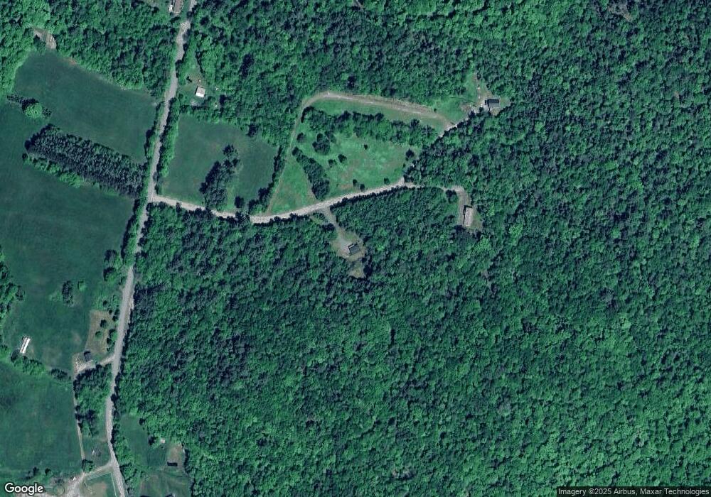
Map
Nearby Homes
- 0 Shepards Garnet Mountain Rd Unit 13
- 000 Shepards Garnet Mountain Rd Unit 11
- 637 Wallace Hill Rd
- 102 Skyline Dr
- 14 Summit Dr
- Map 8 Lot 22 Indian Pipe Rd
- 206 Lewis Hill Rd
- 1 Agassiz St
- 54 Woodbine Ln
- 00 New Hampshire 117 Unit 2
- 0 Old Franconia Rd Unit 2
- 664 Main St
- 576 Agassiz St
- 92 Pinewood Ave
- 00 Iron Foundry Rd Unit 153.02
- 123 Agassiz St
- 56 Church St
- 28 Jodo Way
- 42 Maple St
- 157 Slalom Ln
- 0 Garnet Mount Dr
- 00 Shepards Run Unit 5
- 000 Shepards Run Unit 12
- 0 Shepards Run Unit 4 5054579
- 0 Shepards Run Unit 5054579
- 00 Shepards Run
- 000 Shepards Run
- 84 Garnet Mountain Dr
- 55 Shepard's Run
- 55 Shepards Run
- 55 Shepards Run
- 1267 South Rd
- 1166 South Rd
- 1003 South Rd
- 1293 South Rd
- 976 South Rd
- 1062 South Rd
- 1321 South Rd
- 1144 South Rd
- 963 South Rd
Your Personal Tour Guide
Ask me questions while you tour the home.