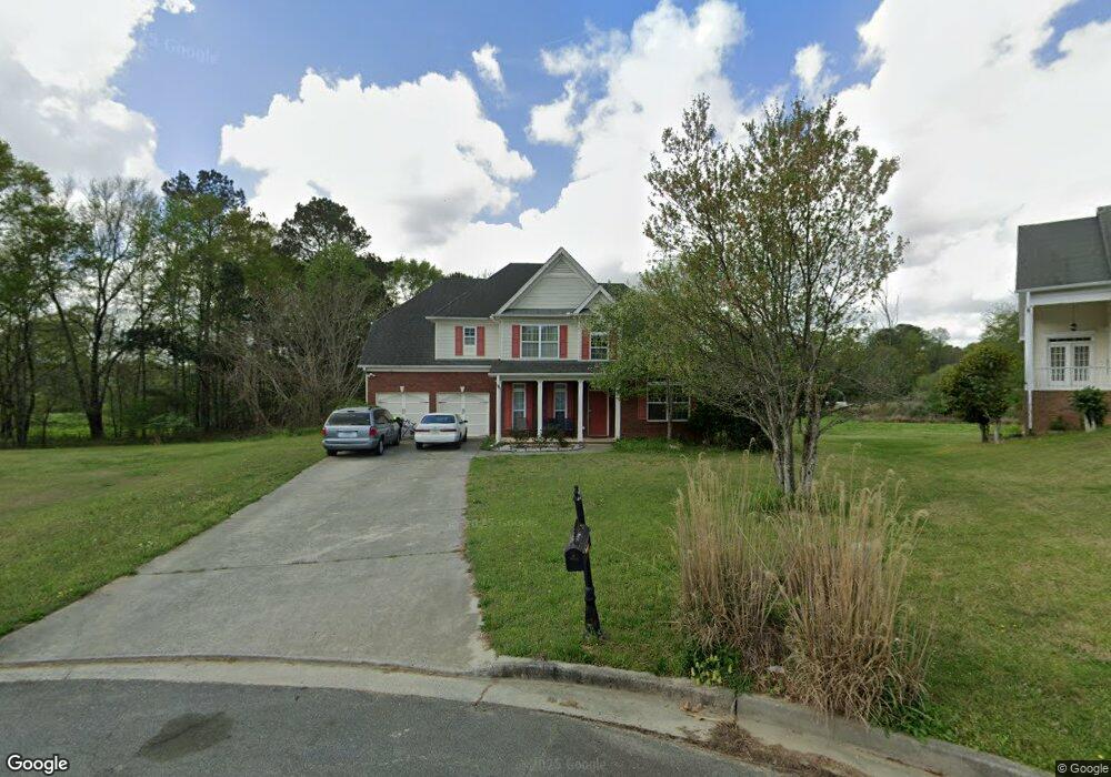
60 High Pines Ct W Hiram, GA 30141
East Paulding County NeighborhoodEstimated Value: $381,063 - $399,000
4
Beds
3
Baths
2,351
Sq Ft
$166/Sq Ft
Est. Value
About This Home
This home is located at 60 High Pines Ct W, Hiram, GA 30141 and is currently estimated at $389,516, approximately $165 per square foot. 60 High Pines Ct W is a home located in Paulding County with nearby schools including Hiram Elementary School, P. B. Ritch Middle School, and East Paulding High School.
Ownership History
Date
Name
Owned For
Owner Type
Purchase Details
Closed on
Aug 1, 2017
Sold by
Giddings Russell
Bought by
Ah4r Properties Llc
Current Estimated Value
Purchase Details
Closed on
Sep 2, 2005
Sold by
Four Winds Grp Inc
Bought by
Giddings Russell
Home Financials for this Owner
Home Financials are based on the most recent Mortgage that was taken out on this home.
Original Mortgage
$20,400
Interest Rate
5.77%
Mortgage Type
Stand Alone Refi Refinance Of Original Loan
Create a Home Valuation Report for This Property
The Home Valuation Report is an in-depth analysis detailing your home's value as well as a comparison with similar homes in the area
Home Values in the Area
Average Home Value in this Area
Purchase History
| Date | Buyer | Sale Price | Title Company |
|---|---|---|---|
| Ah4r Properties Llc | $178,000 | -- | |
| Giddings Russell | $204,900 | -- |
Source: Public Records
Mortgage History
| Date | Status | Borrower | Loan Amount |
|---|---|---|---|
| Previous Owner | Giddings Russell | $20,400 |
Source: Public Records
Tax History Compared to Growth
Tax History
| Year | Tax Paid | Tax Assessment Tax Assessment Total Assessment is a certain percentage of the fair market value that is determined by local assessors to be the total taxable value of land and additions on the property. | Land | Improvement |
|---|---|---|---|---|
| 2024 | $3,522 | $141,596 | $14,000 | $127,596 |
| 2023 | $3,787 | $145,280 | $14,000 | $131,280 |
| 2022 | $2,213 | $84,880 | $14,000 | $70,880 |
| 2021 | $2,467 | $84,880 | $14,000 | $70,880 |
| 2020 | $2,521 | $84,880 | $14,000 | $70,880 |
| 2019 | $2,448 | $81,240 | $14,000 | $67,240 |
| 2018 | $2,145 | $81,720 | $14,000 | $67,720 |
| 2017 | $2,313 | $75,720 | $14,000 | $61,720 |
| 2016 | $2,062 | $68,200 | $14,000 | $54,200 |
| 2015 | $2,151 | $69,880 | $14,000 | $55,880 |
| 2014 | $1,523 | $48,240 | $14,000 | $34,240 |
| 2013 | -- | $48,320 | $14,000 | $34,320 |
Source: Public Records
Map
Nearby Homes
- 1520 Silver Mist Cir
- 1261 Silvercrest Ct SW
- 1502 Silver Mist Cir
- 1236 Silvercrest Ct SW
- 1116 Silverbrooke Dr
- 5303 Autumn Run Dr
- 5555 Elliott Rd
- 4624 MacLand Rd
- 4622 MacLand Rd
- 290 Harvest Trail
- 5809 Warren Farm Rd SW
- 5638 Berney Cir
- 5809 Warren Farm Rd
- 3204 Grandiflora Place
- 35 Pinewood Ct
- 2553 Harvest Moon Ct Unit 1
- 225 Harvest Trail
- The Cedarwood Plan at Echols Farm
- The Brookhaven Plan at Echols Farm
- The Rosewood Plan at Echols Farm
- 57 High Pines Ct W
- 54 High Pines Ct W
- 44 High Pines Ct W
- 41 High Pines Ct W
- 30 High Pines Ct W
- 192 Heathrow Dr
- 164 Heathrow Dr
- 118 Heathrow Dr
- 214 Heathrow Dr
- 57 Heathrow Dr
- 232 Heathrow Dr
- 684 Poplar Springs Rd
- 20 High Pines Ct E
- 254 Heathrow Dr Unit A
- 254 Heathrow Dr
- 650 Poplar Springs Rd
- 17 High Pines Ct E
- 718 Poplar Springs Rd
- 734 Poplar Springs Rd
- 211 Heathrow Dr