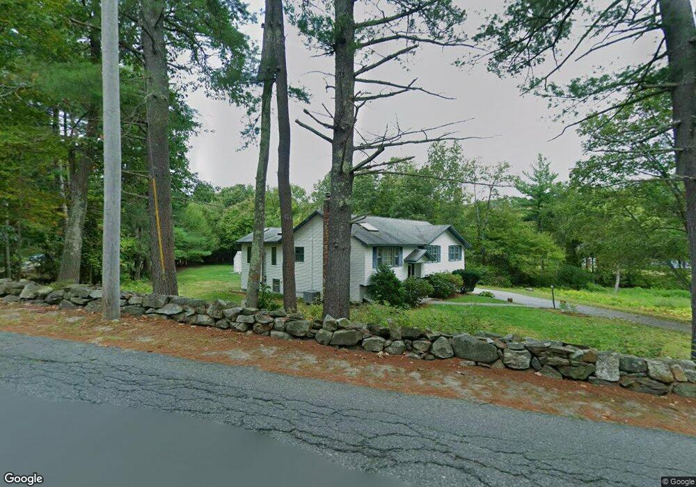
60 High St Dunstable, MA 01827
Estimated Value: $668,818 - $701,000
3
Beds
3
Baths
2,365
Sq Ft
$290/Sq Ft
Est. Value
About This Home
This home is located at 60 High St, Dunstable, MA 01827 and is currently estimated at $686,205, approximately $290 per square foot. 60 High St is a home located in Middlesex County with nearby schools including Groton Dunstable Regional High School, World Academy, and Academy of Notre Dame - Upper School.
Create a Home Valuation Report for This Property
The Home Valuation Report is an in-depth analysis detailing your home's value as well as a comparison with similar homes in the area
Home Values in the Area
Average Home Value in this Area
Tax History Compared to Growth
Tax History
| Year | Tax Paid | Tax Assessment Tax Assessment Total Assessment is a certain percentage of the fair market value that is determined by local assessors to be the total taxable value of land and additions on the property. | Land | Improvement |
|---|---|---|---|---|
| 2025 | $6,947 | $505,200 | $222,400 | $282,800 |
| 2024 | $6,662 | $477,200 | $203,800 | $273,400 |
| 2023 | $6,187 | $413,300 | $203,800 | $209,500 |
| 2022 | $5,839 | $382,900 | $203,800 | $179,100 |
| 2021 | $16,202 | $338,900 | $186,300 | $152,600 |
| 2020 | $5,562 | $330,300 | $186,300 | $144,000 |
| 2019 | $25,259 | $323,500 | $186,300 | $137,200 |
| 2018 | $5,502 | $313,700 | $185,100 | $128,600 |
| 2017 | $5,256 | $308,800 | $185,100 | $123,700 |
| 2016 | $5,001 | $302,200 | $176,900 | $125,300 |
| 2015 | $4,646 | $277,700 | $149,200 | $128,500 |
| 2014 | $4,379 | $277,700 | $149,200 | $128,500 |
Source: Public Records
Map
Nearby Homes
- 4 Thorndike St
- 0 Lowell St
- 62 Brook St
- 319 Pleasant St
- 153 Off Pond St
- 446 Westford St
- 38 Georgetown Dr
- 11 Lojko Dr
- 91 Century Way
- 8 Strawberry Bank Rd Unit 16
- 5 Doucet Ave
- 58 Wilderness Dr
- 1 Doucet Ave
- 65 Wilderness Dr
- 1 Wilderness Dr
- 2 Wilderness Dr
- 4 Wilderness Dr
- 79 Wilderness Dr
- 3 Wilderness Dr
- 7 Wilderness Dr