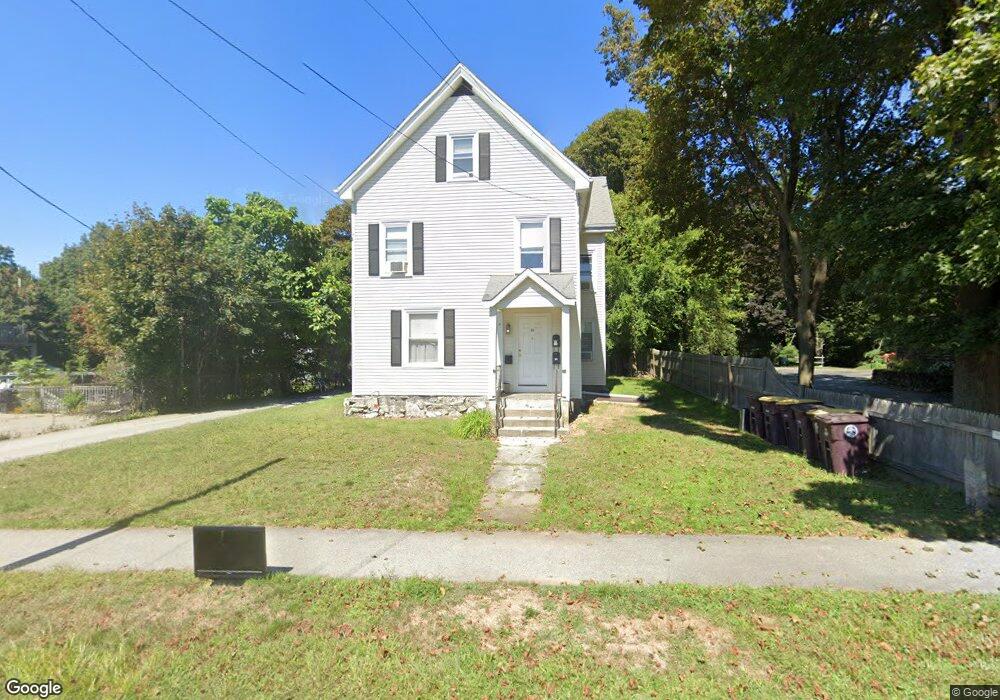
60 High St East Weymouth, MA 02189
East Weymouth NeighborhoodEstimated Value: $756,887 - $871,000
8
Beds
3
Baths
3,058
Sq Ft
$266/Sq Ft
Est. Value
About This Home
This home is located at 60 High St, East Weymouth, MA 02189 and is currently estimated at $814,722, approximately $266 per square foot. 60 High St is a home located in Norfolk County with nearby schools including Abigail Adams Middle School, Weymouth Middle School Chapman, and Weymouth High School.
Ownership History
Date
Name
Owned For
Owner Type
Purchase Details
Closed on
Mar 10, 2010
Sold by
High T
Bought by
Borghesani Marcia
Current Estimated Value
Purchase Details
Closed on
Sep 26, 2008
Sold by
High Street T
Bought by
Borghesani Marcia
Home Financials for this Owner
Home Financials are based on the most recent Mortgage that was taken out on this home.
Original Mortgage
$258,405
Interest Rate
6.57%
Mortgage Type
Purchase Money Mortgage
Purchase Details
Closed on
Jun 15, 2004
Sold by
High T
Bought by
Mcnamara James
Home Financials for this Owner
Home Financials are based on the most recent Mortgage that was taken out on this home.
Original Mortgage
$300,000
Interest Rate
5.99%
Mortgage Type
Purchase Money Mortgage
Create a Home Valuation Report for This Property
The Home Valuation Report is an in-depth analysis detailing your home's value as well as a comparison with similar homes in the area
Home Values in the Area
Average Home Value in this Area
Purchase History
| Date | Buyer | Sale Price | Title Company |
|---|---|---|---|
| Borghesani Marcia | -- | -- | |
| Borghesani Marcia | $345,000 | -- | |
| Mcnamara James | -- | -- |
Source: Public Records
Mortgage History
| Date | Status | Borrower | Loan Amount |
|---|---|---|---|
| Previous Owner | Borghesani Marcia | $258,405 | |
| Previous Owner | Mcnamara James | $300,000 |
Source: Public Records
Tax History Compared to Growth
Tax History
| Year | Tax Paid | Tax Assessment Tax Assessment Total Assessment is a certain percentage of the fair market value that is determined by local assessors to be the total taxable value of land and additions on the property. | Land | Improvement |
|---|---|---|---|---|
| 2025 | $6,388 | $632,500 | $198,900 | $433,600 |
| 2024 | $6,189 | $602,600 | $189,500 | $413,100 |
| 2023 | $6,013 | $575,400 | $175,400 | $400,000 |
| 2022 | $5,819 | $507,800 | $162,400 | $345,400 |
| 2021 | $5,866 | $499,700 | $162,400 | $337,300 |
| 2020 | $5,701 | $478,300 | $162,400 | $315,900 |
| 2019 | $5,460 | $450,500 | $148,000 | $302,500 |
| 2018 | $5,123 | $409,800 | $140,900 | $268,900 |
| 2017 | $4,851 | $378,700 | $134,200 | $244,500 |
| 2016 | $4,539 | $354,600 | $129,100 | $225,500 |
| 2015 | $4,361 | $338,100 | $129,100 | $209,000 |
| 2014 | $4,265 | $320,700 | $120,100 | $200,600 |
Source: Public Records
Map
Nearby Homes
- 10 Duck Ln
- 38 School St Unit 2
- 17 Grove St
- 1297 Pleasant St
- 9 Cranberry Ln
- 249 High St
- 124 Charles Diersch St
- 56 Putnam St
- 7 Stevens Way
- 575 Broad St Unit 305
- 575 Broad St Unit 215
- 425 East St
- 2 Black Rock Dr Unit 21
- 2 Black Rock Dr
- 209 Lake St Unit 69
- 171 Fort Hill St
- 86 Black Rock Dr
- 30 Puritan Rd
- 955 Pleasant St Unit 11
- 14 Old Stone Way Unit 11