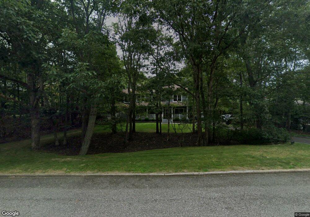
60 Highview Dr Sag Harbor, NY 11963
Estimated Value: $1,579,000 - $2,620,000
4
Beds
2
Baths
2,474
Sq Ft
$899/Sq Ft
Est. Value
About This Home
This home is located at 60 Highview Dr, Sag Harbor, NY 11963 and is currently estimated at $2,224,994, approximately $899 per square foot. 60 Highview Dr is a home located in Suffolk County with nearby schools including Sag Harbor Elementary School, Pierson Middle/High School, and Ross Lower School.
Ownership History
Date
Name
Owned For
Owner Type
Purchase Details
Closed on
May 1, 2015
Sold by
Ameres Michael J and Ameres Theresa D
Bought by
Udin Andrew and Udin Shira
Current Estimated Value
Purchase Details
Closed on
Jun 13, 2002
Sold by
Duryea Robert and Duryea Agnes L
Bought by
Ameres Michael J and Ameres Theresa D
Home Financials for this Owner
Home Financials are based on the most recent Mortgage that was taken out on this home.
Original Mortgage
$359,100
Interest Rate
6.81%
Purchase Details
Closed on
Jul 3, 1996
Sold by
Quinn Agnes I and Duryea Robert
Bought by
Duryea Robert and Duryea Agnes L
Create a Home Valuation Report for This Property
The Home Valuation Report is an in-depth analysis detailing your home's value as well as a comparison with similar homes in the area
Home Values in the Area
Average Home Value in this Area
Purchase History
| Date | Buyer | Sale Price | Title Company |
|---|---|---|---|
| Udin Andrew | $1,055,000 | None Available | |
| Ameres Michael J | $399,000 | Boundary Title | |
| Duryea Robert | -- | Commonwealth Land Title Ins |
Source: Public Records
Mortgage History
| Date | Status | Borrower | Loan Amount |
|---|---|---|---|
| Previous Owner | Duryea Robert | $25,000 | |
| Previous Owner | Ameres Michael J | $359,100 | |
| Previous Owner | Duryea Robert | $247,500 |
Source: Public Records
Tax History Compared to Growth
Tax History
| Year | Tax Paid | Tax Assessment Tax Assessment Total Assessment is a certain percentage of the fair market value that is determined by local assessors to be the total taxable value of land and additions on the property. | Land | Improvement |
|---|---|---|---|---|
| 2024 | $8,887 | $1,290,300 | $577,200 | $713,100 |
| 2023 | $8,887 | $1,290,300 | $577,200 | $713,100 |
| 2022 | $5,890 | $1,290,300 | $577,200 | $713,100 |
| 2021 | $5,890 | $1,290,300 | $577,200 | $713,100 |
| 2020 | $8,707 | $1,290,300 | $577,200 | $713,100 |
| 2019 | $8,707 | $0 | $0 | $0 |
| 2018 | -- | $1,008,700 | $425,800 | $582,900 |
| 2017 | $7,171 | $1,008,700 | $425,800 | $582,900 |
| 2016 | $7,403 | $1,008,700 | $425,800 | $582,900 |
| 2015 | -- | $783,100 | $402,100 | $381,000 |
| 2014 | -- | $783,100 | $402,100 | $381,000 |
Source: Public Records
Map
Nearby Homes
- 59 Highview Dr
- 14 Margaret Dr
- 108 Harbor Watch Ct
- 121 Stoney Hill Rd
- 723 Brick Kiln Rd
- 40 Stoney Hill Rd
- 4108 Noyack Rd
- 4019 Noyac Rd
- 11 Cove Ave E
- 64 Island View Dr W
- 7 Sims Ave
- 70 Ridge Rd W
- 3866 Noyack Rd
- 75 Island View Dr W
- 4528 Noyac Rd
- 4529 Noyac Rd
- 1224 Brick Kiln Rd
- 137 Clay Pit Rd
- 79 Clay Pit Rd
- 221 Redwood Rd
- 66 Highview Dr
- 52 Highview Dr
- 32 Island View Dr E
- 38 Island View Dr E
- 63 Highview Dr
- 70 Highview Dr
- 53 Highview Dr
- 12 Island View Dr E
- 46 Highview Dr
- 69 Highview Dr
- 9 Harborview Dr
- 22 Island View Dr E
- 76 Highview Dr
- 73 Highview Dr
- 33 Rolling Hill Ct E
- 27 Rolling Hill Ct E
- 21 Rolling Hill Ct E
- 11 Rolling Hill Ct E
- 41 Island View Dr E
- 77 Highview Dr