60 Hillcrest Dr Southbury, CT 06488
Estimated Value: $838,000 - $957,000
4
Beds
4
Baths
3,552
Sq Ft
$257/Sq Ft
Est. Value
About This Home
This home is located at 60 Hillcrest Dr, Southbury, CT 06488 and is currently estimated at $911,536, approximately $256 per square foot. 60 Hillcrest Dr is a home located in New Haven County with nearby schools including Long Meadow Elementary School, Memorial Middle School, and Pomperaug Regional High School.
Ownership History
Date
Name
Owned For
Owner Type
Purchase Details
Closed on
Nov 28, 2016
Sold by
Petruzzelli Sandra
Bought by
Petruzzelli Scott
Current Estimated Value
Home Financials for this Owner
Home Financials are based on the most recent Mortgage that was taken out on this home.
Original Mortgage
$202,000
Outstanding Balance
$166,919
Interest Rate
4.13%
Mortgage Type
Unknown
Estimated Equity
$744,617
Purchase Details
Closed on
Mar 5, 2004
Sold by
American Escrow&Closin
Bought by
Petruzzelli Scott and Petruzzelli Sandra
Home Financials for this Owner
Home Financials are based on the most recent Mortgage that was taken out on this home.
Original Mortgage
$375,000
Interest Rate
4.75%
Purchase Details
Closed on
Mar 7, 2001
Sold by
Tke Rlty
Bought by
Blonsky Peter and Blonsky Stephanie
Create a Home Valuation Report for This Property
The Home Valuation Report is an in-depth analysis detailing your home's value as well as a comparison with similar homes in the area
Home Values in the Area
Average Home Value in this Area
Purchase History
| Date | Buyer | Sale Price | Title Company |
|---|---|---|---|
| Petruzzelli Scott | -- | -- | |
| Petruzzelli Scott | $650,000 | -- | |
| American Escrow&Closin | $650,000 | -- | |
| Blonsky Peter | $492,500 | -- |
Source: Public Records
Mortgage History
| Date | Status | Borrower | Loan Amount |
|---|---|---|---|
| Open | Blonsky Peter | $202,000 | |
| Previous Owner | Blonsky Peter | $330,000 | |
| Previous Owner | Blonsky Peter | $375,000 |
Source: Public Records
Tax History Compared to Growth
Tax History
| Year | Tax Paid | Tax Assessment Tax Assessment Total Assessment is a certain percentage of the fair market value that is determined by local assessors to be the total taxable value of land and additions on the property. | Land | Improvement |
|---|---|---|---|---|
| 2025 | $11,443 | $472,850 | $99,260 | $373,590 |
| 2024 | $11,159 | $472,850 | $99,260 | $373,590 |
| 2023 | $10,639 | $472,850 | $99,260 | $373,590 |
| 2022 | $10,899 | $380,540 | $107,570 | $272,970 |
| 2021 | $11,150 | $380,540 | $107,570 | $272,970 |
| 2020 | $11,150 | $380,540 | $107,570 | $272,970 |
| 2019 | $11,074 | $380,540 | $107,570 | $272,970 |
| 2018 | $11,036 | $380,540 | $107,570 | $272,970 |
| 2017 | $11,580 | $395,220 | $124,110 | $271,110 |
| 2016 | $11,382 | $395,220 | $124,110 | $271,110 |
| 2015 | $11,224 | $395,220 | $124,110 | $271,110 |
| 2014 | $10,908 | $395,220 | $124,110 | $271,110 |
Source: Public Records
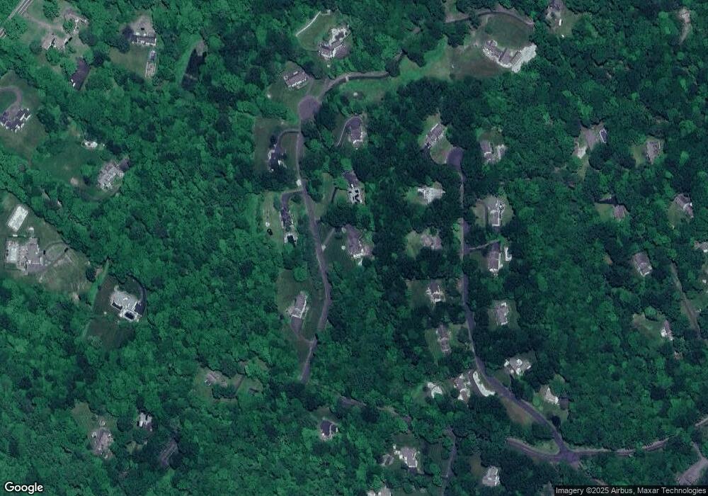
Map
Nearby Homes
- 227 Dublin Hill Rd
- 120 Lum Lot Rd
- 25 Curtiss Meadows
- 101 Settlers Hill Rd
- 212 Beecher Dr
- 49 Scuppo Rd
- 527 Heritage Village Unit A
- 33 Old Field Hill Rd Unit 12
- 33 Old Field Hill Rd Unit 37
- 517 Heritage Village Unit D
- 633 Old Waterbury Rd
- 64 Short Rock Rd
- 510 Heritage Village Unit B
- 515 Heritage Village Unit A
- 512 Heritage Village Unit B
- 795 Old Waterbury Rd
- 60 Pomperaug Rd
- 40 Pleasant Dr
- 56 Blueberry Ln
- 295 Old Woodbury Rd
- 77 Cedar Grove Rd
- 33 Hillcrest Dr
- 49 Cedar Grove Rd
- 99 Cedar Grove Rd
- 82 Hillcrest Dr
- 79 Hillcrest Dr
- 31 Cedar Grove Rd
- 119 Cedar Grove Rd
- 10 Southridge Rd
- 200 Chestnut Tree Hill Rd
- 86 Cedar Grove Rd
- 68 Cedar Grove Rd
- 170 Chestnut Tree Hill Rd
- 112 Hillcrest Dr
- 100 Cedar Grove Rd
- 125 Cedar Grove Rd
- 28 Cedar Grove Rd
- 101 Hillcrest Dr
- 15 Southridge Rd
- 122 Cedar Grove Rd