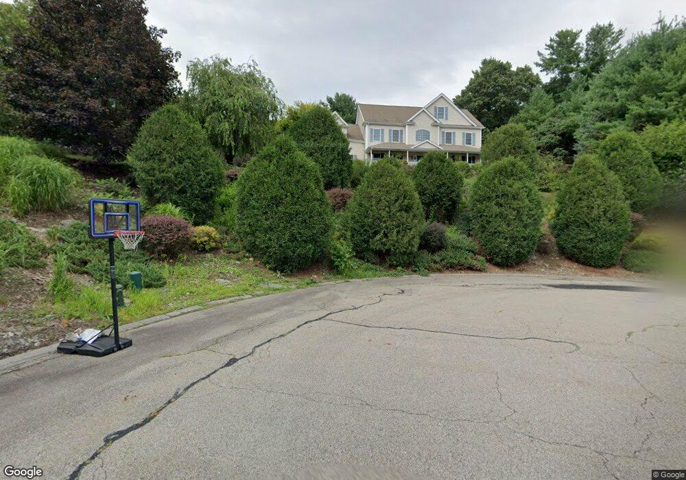
60 Hillside Dr Wrentham, MA 02093
West Wrentham NeighborhoodEstimated Value: $964,917 - $1,589,000
4
Beds
4
Baths
3,800
Sq Ft
$321/Sq Ft
Est. Value
About This Home
This home is located at 60 Hillside Dr, Wrentham, MA 02093 and is currently estimated at $1,218,729, approximately $320 per square foot. 60 Hillside Dr is a home located in Norfolk County with nearby schools including Delaney Elementary School, Charles E Roderick, and Rise Prep Mayoral Academy Middle School.
Ownership History
Date
Name
Owned For
Owner Type
Purchase Details
Closed on
Nov 9, 2021
Sold by
Nardone Thomas J
Bought by
Nardone Thomas J and Demarais Dianne M
Current Estimated Value
Home Financials for this Owner
Home Financials are based on the most recent Mortgage that was taken out on this home.
Original Mortgage
$620,000
Outstanding Balance
$568,595
Interest Rate
3.05%
Mortgage Type
Stand Alone Refi Refinance Of Original Loan
Estimated Equity
$650,134
Purchase Details
Closed on
Dec 31, 2002
Sold by
Lot 6 Rt and Bailey Howard W
Bought by
Nardone Thomas J
Home Financials for this Owner
Home Financials are based on the most recent Mortgage that was taken out on this home.
Original Mortgage
$518,400
Interest Rate
6.02%
Mortgage Type
Purchase Money Mortgage
Create a Home Valuation Report for This Property
The Home Valuation Report is an in-depth analysis detailing your home's value as well as a comparison with similar homes in the area
Home Values in the Area
Average Home Value in this Area
Purchase History
| Date | Buyer | Sale Price | Title Company |
|---|---|---|---|
| Nardone Thomas J | -- | None Available | |
| Nardone Thomas J | -- | None Available | |
| Nardone Thomas J | $648,000 | -- | |
| Nardone Thomas J | $648,000 | -- |
Source: Public Records
Mortgage History
| Date | Status | Borrower | Loan Amount |
|---|---|---|---|
| Open | Nardone Thomas J | $620,000 | |
| Closed | Nardone Thomas J | $620,000 | |
| Previous Owner | Nardone Thomas J | $518,400 |
Source: Public Records
Tax History
| Year | Tax Paid | Tax Assessment Tax Assessment Total Assessment is a certain percentage of the fair market value that is determined by local assessors to be the total taxable value of land and additions on the property. | Land | Improvement |
|---|---|---|---|---|
| 2025 | $10,335 | $891,700 | $257,200 | $634,500 |
| 2024 | $9,745 | $812,100 | $257,200 | $554,900 |
| 2023 | $9,606 | $761,200 | $234,500 | $526,700 |
| 2022 | $9,503 | $695,200 | $228,200 | $467,000 |
| 2021 | $9,062 | $644,100 | $213,800 | $430,300 |
| 2020 | $8,566 | $601,100 | $165,000 | $436,100 |
| 2019 | $8,212 | $581,600 | $165,000 | $416,600 |
| 2018 | $8,078 | $567,300 | $156,600 | $410,700 |
| 2017 | $7,883 | $553,200 | $153,600 | $399,600 |
| 2016 | $7,725 | $541,000 | $149,200 | $391,800 |
| 2015 | $8,909 | $594,700 | $211,700 | $383,000 |
| 2014 | $8,941 | $584,000 | $203,600 | $380,400 |
Source: Public Records
Map
Nearby Homes
- 9 Pebble Cir Unit 9
- 65 Palmetto Dr Unit 65
- 9 Brookfield Ln
- 21 Palmetto Dr Unit 21
- 24 Palmetto Dr Unit 24
- 25 Nature View Dr
- 20 Nature View Dr
- 925 Washington St
- 900 Washington St Lot 2
- 365 W Wrentham Rd
- 180 Pine Swamp Rd
- 56 Pine Swamp Rd
- 352 Lake St
- 101 Pine Grove Ave
- 10 Follett Dr
- 21 Irving St
- 202 Paine St
- 9 Reagan Ave
- 82 Paine St
- 194 Paine St
Your Personal Tour Guide
Ask me questions while you tour the home.