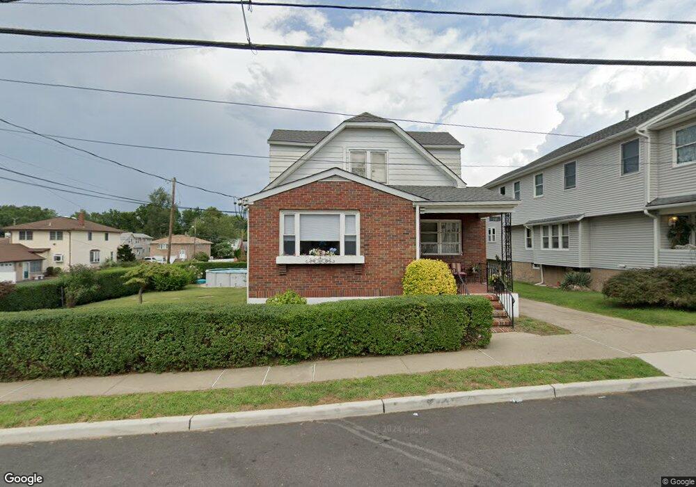
60 Hobart Place Unit 1 Totowa, NJ 07512
Estimated Value: $575,000 - $624,000
2
Beds
1
Bath
1,586
Sq Ft
$376/Sq Ft
Est. Value
About This Home
This home is located at 60 Hobart Place Unit 1, Totowa, NJ 07512 and is currently estimated at $596,886, approximately $376 per square foot. 60 Hobart Place Unit 1 is a home located in Passaic County with nearby schools including Washington Park Elementary School, Passaic Valley High School, and John P Holland Charter School.
Ownership History
Date
Name
Owned For
Owner Type
Purchase Details
Closed on
Oct 5, 2018
Sold by
Hunt Norman and Hunt Patricia A
Bought by
Mcgrotty William J
Current Estimated Value
Home Financials for this Owner
Home Financials are based on the most recent Mortgage that was taken out on this home.
Original Mortgage
$335,200
Outstanding Balance
$292,936
Interest Rate
4.6%
Mortgage Type
New Conventional
Estimated Equity
$303,950
Purchase Details
Closed on
Nov 1, 2007
Sold by
Maggi Michael G
Bought by
Hunt Norman and Hunt Patricia A
Home Financials for this Owner
Home Financials are based on the most recent Mortgage that was taken out on this home.
Original Mortgage
$320,000
Interest Rate
6.41%
Mortgage Type
New Conventional
Create a Home Valuation Report for This Property
The Home Valuation Report is an in-depth analysis detailing your home's value as well as a comparison with similar homes in the area
Home Values in the Area
Average Home Value in this Area
Purchase History
| Date | Buyer | Sale Price | Title Company |
|---|---|---|---|
| Mcgrotty William J | $419,000 | Northern New Jersey Title | |
| Hunt Norman | -- | -- | |
| Hunt Norman | $320,000 | -- | |
| Maggi Michael G | -- | -- | |
| Maggi Michael G | -- | -- |
Source: Public Records
Mortgage History
| Date | Status | Borrower | Loan Amount |
|---|---|---|---|
| Open | Mcgrotty William J | $335,200 | |
| Previous Owner | Maggi Michael G | $320,000 |
Source: Public Records
Tax History Compared to Growth
Tax History
| Year | Tax Paid | Tax Assessment Tax Assessment Total Assessment is a certain percentage of the fair market value that is determined by local assessors to be the total taxable value of land and additions on the property. | Land | Improvement |
|---|---|---|---|---|
| 2025 | $9,038 | $333,400 | $158,000 | $175,400 |
| 2024 | $8,645 | $333,400 | $158,000 | $175,400 |
| 2022 | $8,128 | $333,400 | $158,000 | $175,400 |
| 2021 | $7,932 | $333,400 | $158,000 | $175,400 |
| 2020 | $8,075 | $333,400 | $158,000 | $175,400 |
| 2019 | $7,868 | $329,500 | $158,000 | $171,500 |
| 2018 | $7,428 | $311,700 | $158,000 | $153,700 |
| 2017 | $7,353 | $311,700 | $158,000 | $153,700 |
| 2016 | $7,322 | $311,700 | $158,000 | $153,700 |
| 2015 | $7,119 | $311,700 | $158,000 | $153,700 |
| 2014 | $6,614 | $311,700 | $158,000 | $153,700 |
Source: Public Records
Map
Nearby Homes
- 60 Hobart Place
- 120 Crosby Ave
- 56 Hobart Place
- 129 Gordon Ave
- 125 Gordon Ave
- 70 Hobart Place Unit 2nd floor
- 70 Hobart Place
- 59 Hobart Place
- 52 Hobart Place
- 123 Gordon Ave
- 63 Hobart Place
- 131 Gordon Ave
- 55 Hobart Place
- 74 Hobart Place
- 117 Gordon Ave
- 51 Hobart Place
- 128 Gordon Ave
- 130 Gordon Ave
- 113 Gordon Ave
- 133 Gordon Ave