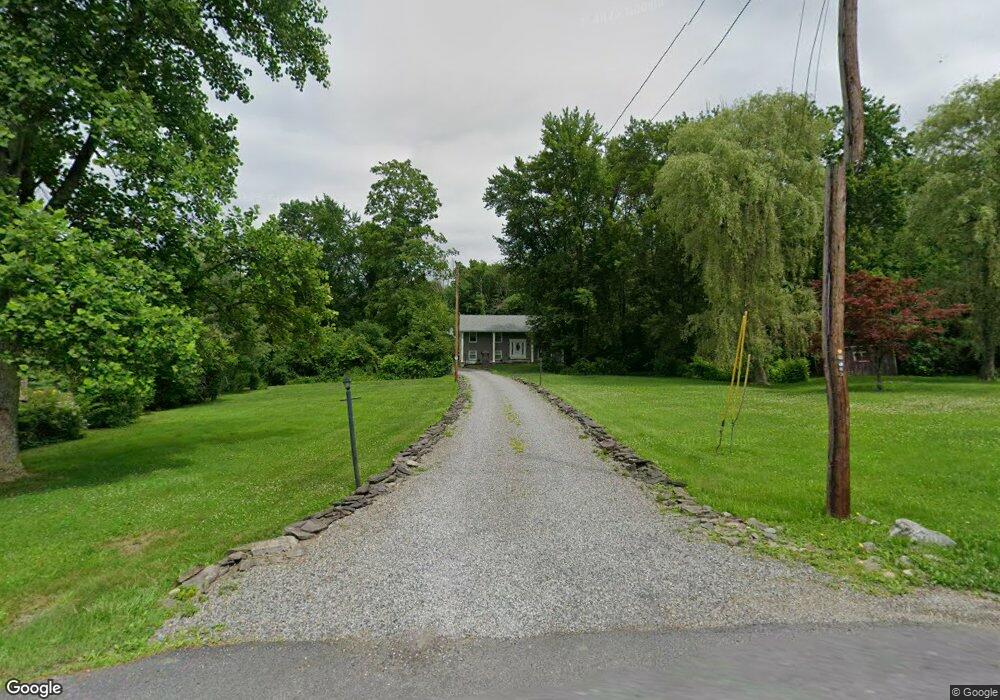
60 Hoof Print Rd Millbrook, NY 12545
Estimated Value: $489,423 - $624,000
3
Beds
3
Baths
1,232
Sq Ft
$430/Sq Ft
Est. Value
About This Home
This home is located at 60 Hoof Print Rd, Millbrook, NY 12545 and is currently estimated at $529,606, approximately $429 per square foot. 60 Hoof Print Rd is a home located in Dutchess County with nearby schools including Elm Drive Elementary School, Alden Place Elementary School, and Millbrook Middle School.
Ownership History
Date
Name
Owned For
Owner Type
Purchase Details
Closed on
Oct 25, 2006
Sold by
Sigler Theodore
Bought by
Penik William
Current Estimated Value
Create a Home Valuation Report for This Property
The Home Valuation Report is an in-depth analysis detailing your home's value as well as a comparison with similar homes in the area
Home Values in the Area
Average Home Value in this Area
Purchase History
| Date | Buyer | Sale Price | Title Company |
|---|---|---|---|
| Penik William | $351,500 | -- |
Source: Public Records
Tax History Compared to Growth
Tax History
| Year | Tax Paid | Tax Assessment Tax Assessment Total Assessment is a certain percentage of the fair market value that is determined by local assessors to be the total taxable value of land and additions on the property. | Land | Improvement |
|---|---|---|---|---|
| 2024 | $5,364 | $229,200 | $69,800 | $159,400 |
| 2023 | $5,806 | $229,200 | $69,800 | $159,400 |
| 2022 | $5,741 | $229,200 | $69,800 | $159,400 |
| 2021 | $5,524 | $229,200 | $69,800 | $159,400 |
| 2020 | $4,803 | $229,200 | $69,800 | $159,400 |
| 2019 | $1,747 | $229,200 | $69,800 | $159,400 |
| 2018 | $4,493 | $218,300 | $69,800 | $148,500 |
| 2017 | $4,443 | $218,300 | $69,800 | $148,500 |
| 2016 | $4,427 | $218,300 | $69,800 | $148,500 |
| 2015 | -- | $218,300 | $69,800 | $148,500 |
| 2014 | -- | $218,300 | $69,800 | $148,500 |
Source: Public Records
Map
Nearby Homes
- 3406 Route 82
- 25 On the Green
- 28 On the Green
- 3534 Route 82
- 3585 Route 82
- 30 Eddy Rd
- 3598 Route 82
- 81 Cooper Dr
- 108 N Smith Rd
- 0 Deer Pond Rd Unit KEY845542
- 89 Deer Pond Rd
- 672 Waterbury Hill Rd
- 658 Waterbury Hill Rd
- 198 Oswego Rd
- 3893 Route 82
- 425 Camby Rd
- 53 Tyrrel Rd
- 89 Birch Dr
- 568 Oak Summit Rd
- 58 Cole Rd
- 0 Hoofprint Unit 326314
- 0 Hoofprint Rd Unit 332712
- 0 Hoofprint Rd Unit 337972
- 0 Hoofprint Rd Unit 352544
- 0 Hoofprint Rd Unit ONEHM352544
- 56 Hoofprint Rd
- 12 Hoof Print Rd
- 20 Hoof Print Rd
- 26 Hoof Print Rd
- 38 Hoof Print Rd
- 44 Hoof Print Rd
- 48 Hoof Print Rd
- 64 Hoof Print Rd
- 70 Hoof Print Rd
- 48 Hoofprint Rd
- 44 Hoofprint Rd
- 115 Hoofprint Rd
- 1 Appaloosa Ln
- 99 Hoofprint Rd
- 80 Hoof Print Rd