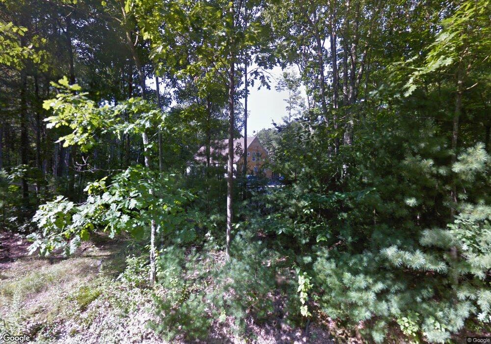
60 Josiah Norton Rd Cape Neddick, ME 03902
Ogunquit NeighborhoodEstimated Value: $869,000 - $1,237,651
3
Beds
3
Baths
2,712
Sq Ft
$389/Sq Ft
Est. Value
About This Home
This home is located at 60 Josiah Norton Rd, Cape Neddick, ME 03902 and is currently estimated at $1,053,913, approximately $388 per square foot. 60 Josiah Norton Rd is a home located in York County with nearby schools including Village Elementary School, Coastal Ridge Elementary School, and York Middle School.
Ownership History
Date
Name
Owned For
Owner Type
Purchase Details
Closed on
Oct 28, 2005
Sold by
Franzone Daniel J and Mathieson Madelyn F
Bought by
Walenta Sara E and Walenta Edward T
Current Estimated Value
Home Financials for this Owner
Home Financials are based on the most recent Mortgage that was taken out on this home.
Original Mortgage
$80,000
Outstanding Balance
$43,161
Interest Rate
5.79%
Mortgage Type
Purchase Money Mortgage
Estimated Equity
$1,010,752
Create a Home Valuation Report for This Property
The Home Valuation Report is an in-depth analysis detailing your home's value as well as a comparison with similar homes in the area
Home Values in the Area
Average Home Value in this Area
Purchase History
| Date | Buyer | Sale Price | Title Company |
|---|---|---|---|
| Walenta Sara E | -- | -- |
Source: Public Records
Mortgage History
| Date | Status | Borrower | Loan Amount |
|---|---|---|---|
| Open | Walenta Sara E | $80,000 |
Source: Public Records
Tax History Compared to Growth
Tax History
| Year | Tax Paid | Tax Assessment Tax Assessment Total Assessment is a certain percentage of the fair market value that is determined by local assessors to be the total taxable value of land and additions on the property. | Land | Improvement |
|---|---|---|---|---|
| 2024 | $8,760 | $1,042,800 | $323,500 | $719,300 |
| 2023 | $7,882 | $932,800 | $269,600 | $663,200 |
| 2022 | $5,815 | $680,100 | $125,500 | $554,600 |
| 2021 | $5,971 | $600,100 | $141,900 | $458,200 |
| 2020 | $5,722 | $515,500 | $141,900 | $373,600 |
| 2019 | $5,605 | $502,700 | $129,100 | $373,600 |
| 2018 | $5,508 | $494,000 | $120,400 | $373,600 |
| 2017 | $5,236 | $478,200 | $111,900 | $366,300 |
| 2016 | $5,283 | $473,800 | $107,500 | $366,300 |
| 2015 | $5,212 | $473,800 | $107,500 | $366,300 |
| 2014 | $5,070 | $473,800 | $107,500 | $366,300 |
| 2013 | $4,982 | $477,700 | $107,500 | $370,200 |
Source: Public Records
Map
Nearby Homes
- 51 Josiah Norton Rd
- 133 Josiah Norton Rd
- 24 N Village Rd
- 110 Josiah Norton Rd
- 1 Josiah Norton Rd
- 239 Clay Hill Rd
- 31 Clay Hill Rd
- 2 Winn Trail
- 141 Logging Rd
- 16 Zoe's Way
- 20 Zoe's Way
- 4 Jack Rabbit Ridge
- 24 County Rd
- 1 Ruby Rd
- 8 Jack Rabbit Ridge
- 23 Zoes Way
- 21 Zoes Way
- 14 Maple St
- 20 Turner Dr
- 340 Chases Pond Rd
- 232 Josiah Norton Rd
- 234 Josiah Norton Rd
- 61 Josiah Norton Rd
- 55 Josiah Norton Rd
- 54 Josiah Norton Rd
- 6 Johnnys Way
- 4 Johnnys Way
- 71 Josiah Norton Rd
- 117 Josiah Norton Rd
- 84 Josiah Norton Rd
- 125 Josiah Norton Rd
- 42 Josiah Norton Rd
- 41 Josiah Norton Rd
- 40 Josiah Norton Rd
- 40 Josiah Norton Rd
- 38 Josiah Norton Rd
- 86 Josiah Norton Rd
- 39 Josiah Norton Rd
- 36 Josiah Norton Rd
- 34 Josiah Norton Rd