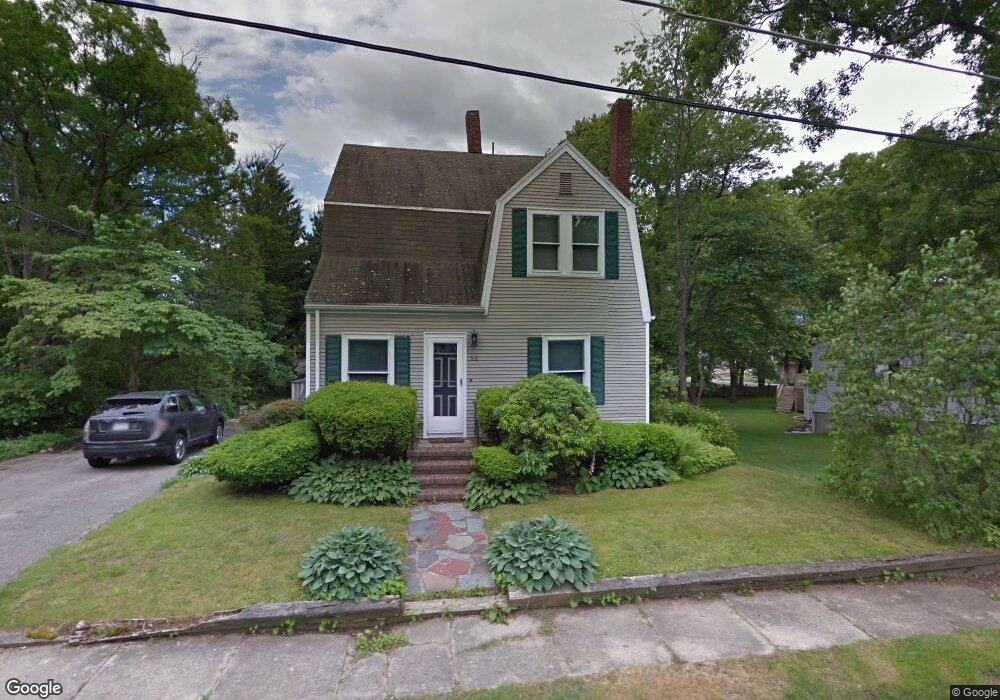
60 Lazel St Whitman, MA 02382
Estimated Value: $558,135 - $643,000
4
Beds
2
Baths
1,856
Sq Ft
$322/Sq Ft
Est. Value
About This Home
This home is located at 60 Lazel St, Whitman, MA 02382 and is currently estimated at $598,534, approximately $322 per square foot. 60 Lazel St is a home located in Plymouth County with nearby schools including St Bridget School.
Ownership History
Date
Name
Owned For
Owner Type
Purchase Details
Closed on
Jun 30, 2011
Sold by
Maclellan Susanne M
Bought by
Greco Aaron D and Greco Leslie A
Current Estimated Value
Home Financials for this Owner
Home Financials are based on the most recent Mortgage that was taken out on this home.
Original Mortgage
$243,662
Outstanding Balance
$165,560
Interest Rate
4.25%
Mortgage Type
FHA
Estimated Equity
$432,974
Create a Home Valuation Report for This Property
The Home Valuation Report is an in-depth analysis detailing your home's value as well as a comparison with similar homes in the area
Home Values in the Area
Average Home Value in this Area
Purchase History
| Date | Buyer | Sale Price | Title Company |
|---|---|---|---|
| Greco Aaron D | $250,000 | -- |
Source: Public Records
Mortgage History
| Date | Status | Borrower | Loan Amount |
|---|---|---|---|
| Open | Greco Aaron D | $243,662 |
Source: Public Records
Tax History
| Year | Tax Paid | Tax Assessment Tax Assessment Total Assessment is a certain percentage of the fair market value that is determined by local assessors to be the total taxable value of land and additions on the property. | Land | Improvement |
|---|---|---|---|---|
| 2025 | $6,132 | $467,400 | $207,900 | $259,500 |
| 2024 | $5,792 | $454,600 | $203,900 | $250,700 |
| 2023 | $5,527 | $407,300 | $176,800 | $230,500 |
| 2022 | $5,459 | $374,900 | $160,700 | $214,200 |
| 2021 | $5,255 | $339,000 | $147,700 | $191,300 |
| 2020 | $5,158 | $325,400 | $140,600 | $184,800 |
| 2019 | $4,854 | $315,600 | $140,600 | $175,000 |
| 2018 | $4,507 | $281,500 | $132,600 | $148,900 |
| 2017 | $4,245 | $281,500 | $132,600 | $148,900 |
| 2016 | $4,092 | $262,500 | $125,600 | $136,900 |
| 2015 | $3,862 | $247,400 | $110,500 | $136,900 |
Source: Public Records
Map
Nearby Homes
- 170 Pleasant St
- 291 Raynor Ave
- 608 Plymouth St
- 289 Commercial St
- 147 South Ave
- 110 South Ave
- 48 Day St
- 8 Laurel St
- 214 Winter St
- 53 Temple St
- 95 Temple St
- 10 Proud Foot Way
- 135-137 Temple St
- 42 Rock St
- 5 Alpine St
- 14 Birch Bottom Cir
- 150 Harvard St
- 229 Washington Terrace
- 1142 Washington St
- 22 Old Coach Rd
Your Personal Tour Guide
Ask me questions while you tour the home.