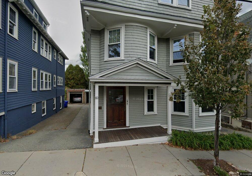
60 Linden St Unit 1 Brookline, MA 02445
Brookline Village NeighborhoodEstimated Value: $828,000 - $1,088,000
2
Beds
1
Bath
1,009
Sq Ft
$945/Sq Ft
Est. Value
About This Home
This home is located at 60 Linden St Unit 1, Brookline, MA 02445 and is currently estimated at $953,893, approximately $945 per square foot. 60 Linden St Unit 1 is a home located in Norfolk County with nearby schools including Pierce School, St. Mary of the Assumption Elementary School, and Malik Academy.
Ownership History
Date
Name
Owned For
Owner Type
Purchase Details
Closed on
Jul 15, 1996
Sold by
Kirkpatrick R B R and Kirkpatrick Sally
Bought by
Topper Jonathan M and Topper Kelley E
Current Estimated Value
Purchase Details
Closed on
Jun 2, 1992
Sold by
Weinstein Debra F
Bought by
Kirkpatrick Richard B and Kirkpatrick Sally
Create a Home Valuation Report for This Property
The Home Valuation Report is an in-depth analysis detailing your home's value as well as a comparison with similar homes in the area
Home Values in the Area
Average Home Value in this Area
Purchase History
| Date | Buyer | Sale Price | Title Company |
|---|---|---|---|
| Topper Jonathan M | $185,000 | -- | |
| Kirkpatrick Richard B | $159,500 | -- |
Source: Public Records
Mortgage History
| Date | Status | Borrower | Loan Amount |
|---|---|---|---|
| Open | Kirkpatrick Richard B | $200,000 | |
| Closed | Kirkpatrick Richard B | $220,000 | |
| Closed | Kirkpatrick Richard B | $143,800 |
Source: Public Records
Tax History Compared to Growth
Tax History
| Year | Tax Paid | Tax Assessment Tax Assessment Total Assessment is a certain percentage of the fair market value that is determined by local assessors to be the total taxable value of land and additions on the property. | Land | Improvement |
|---|---|---|---|---|
| 2025 | $10,434 | $1,057,100 | $0 | $1,057,100 |
| 2024 | $10,126 | $1,036,400 | $0 | $1,036,400 |
| 2023 | $9,391 | $941,900 | $0 | $941,900 |
| 2022 | $9,319 | $914,500 | $0 | $914,500 |
| 2021 | $8,874 | $905,500 | $0 | $905,500 |
| 2020 | $8,472 | $896,500 | $0 | $896,500 |
| 2019 | $8,000 | $853,800 | $0 | $853,800 |
| 2018 | $7,530 | $796,000 | $0 | $796,000 |
| 2017 | $7,282 | $737,000 | $0 | $737,000 |
| 2016 | $6,981 | $670,000 | $0 | $670,000 |
| 2015 | $6,505 | $609,100 | $0 | $609,100 |
| 2014 | $6,118 | $537,100 | $0 | $537,100 |
Source: Public Records
Map
Nearby Homes
- 58 Kent St Unit 302
- 58 Kent St Unit 404
- 58 Kent St Unit 305
- 58 Kent St Unit 303
- 216 Aspinwall Ave
- 214 Aspinwall Ave Unit 2
- 39 Kent St Unit B
- 14 Linden St Unit 8
- 106 Brook St
- 120 Brook St Unit 1
- 44 Washington St Unit 501
- 390 Riverway Unit 6
- 6 Juniper St Unit 16
- 33 Pond Ave Unit 422
- 33 Pond Ave Unit 709
- 33 Pond Ave Unit 523
- 33 Pond Ave Unit 919
- 57 Saint Paul St Unit 19
- 65 Francis St Unit 65
- 65 Francis St
- 60 Linden St Unit 2
- 56 Linden St Unit 2
- 56 Linden St Unit 1
- 56 Linden St Unit 1,56
- 56 Linden St Unit 56-2
- 64 Linden St Unit 2
- 64 Linden St Unit 1
- 37 Bowker St Unit 1
- 52 Linden St
- 66 Linden St Unit 66
- 35 Bowker St Unit 37
- 68 Linden St
- 41 Bowker St
- 33 Bowker St
- 61 Linden St Unit 2
- 61 Linden St Unit 1
- 61 Linden St Unit B
- 45 Bowker St
- 45 Bowker St Unit 45
- 45 Bowker St Unit 1