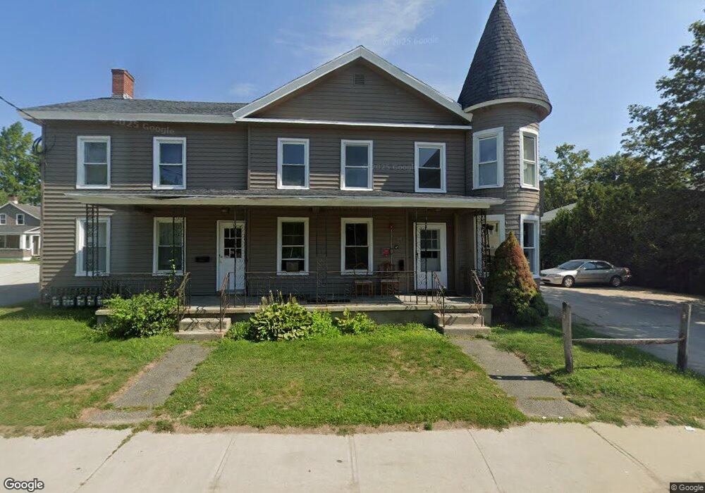
60 Linden St Unit 1 Pittsfield, MA 01201
Estimated Value: $107,000 - $201,000
1
Bed
1
Bath
597
Sq Ft
$250/Sq Ft
Est. Value
About This Home
This home is located at 60 Linden St Unit 1, Pittsfield, MA 01201 and is currently estimated at $149,522, approximately $250 per square foot. 60 Linden St Unit 1 is a home located in Berkshire County with nearby schools including Silvio O. Conte Community School, John T. Reid Middle School, and Taconic High School.
Ownership History
Date
Name
Owned For
Owner Type
Purchase Details
Closed on
Jun 26, 2003
Sold by
Brites Richard J
Bought by
Race Gregory
Current Estimated Value
Purchase Details
Closed on
Jul 31, 1998
Sold by
Mctighe Carol A
Bought by
Csb Servicing Corp
Purchase Details
Closed on
Feb 6, 1995
Sold by
Westpar Corp
Bought by
Brites Richard J
Home Financials for this Owner
Home Financials are based on the most recent Mortgage that was taken out on this home.
Original Mortgage
$7,000
Interest Rate
9.13%
Mortgage Type
Purchase Money Mortgage
Purchase Details
Closed on
Mar 5, 1993
Sold by
Cronin Paul M
Bought by
Westpar Corp
Create a Home Valuation Report for This Property
The Home Valuation Report is an in-depth analysis detailing your home's value as well as a comparison with similar homes in the area
Home Values in the Area
Average Home Value in this Area
Purchase History
| Date | Buyer | Sale Price | Title Company |
|---|---|---|---|
| Race Gregory | $16,000 | -- | |
| Csb Servicing Corp | $30,000 | -- | |
| Brites Richard J | $8,000 | -- | |
| Westpar Corp | $36,000 | -- |
Source: Public Records
Mortgage History
| Date | Status | Borrower | Loan Amount |
|---|---|---|---|
| Previous Owner | Westpar Corp | $7,000 |
Source: Public Records
Tax History Compared to Growth
Tax History
| Year | Tax Paid | Tax Assessment Tax Assessment Total Assessment is a certain percentage of the fair market value that is determined by local assessors to be the total taxable value of land and additions on the property. | Land | Improvement |
|---|---|---|---|---|
| 2025 | $764 | $42,600 | $0 | $42,600 |
| 2024 | $703 | $38,100 | $0 | $38,100 |
| 2023 | $671 | $36,600 | $0 | $36,600 |
| 2022 | $622 | $33,500 | $0 | $33,500 |
| 2021 | $622 | $32,300 | $0 | $32,300 |
| 2020 | $615 | $31,200 | $0 | $31,200 |
| 2019 | $553 | $28,500 | $0 | $28,500 |
| 2018 | $566 | $27,400 | $0 | $27,400 |
| 2017 | $559 | $28,500 | $0 | $28,500 |
| 2016 | $533 | $28,400 | $0 | $28,400 |
| 2015 | $513 | $28,400 | $0 | $28,400 |
Source: Public Records
Map
Nearby Homes
- 17 - 23 Linden St
- 136 Linden St
- 58 Seymour St
- 159 Union St
- 138 Robbins Ave
- 33 Maplewood Ave Unit 305
- 33 Maplewood Ave Unit 103
- 288 Bradford St
- 27 Daniels Ave
- 114 Danforth Ave
- 89 Robbins Ave
- 94 John St
- 71 Maplewood Ave
- 50 John St
- 68 Orchard St
- 42 John St
- 44 King St
- 51 Adam St
- 194 Onota St
- 9 Myrtle St
- 60 Linden St Unit 6
- 60 Linden St
- 60 Linden St Unit 5
- 60 Linden St Unit 4
- 60 Linden St Unit 3
- 60 Linden St Unit 2
- 64 Linden St
- 56 Linden St
- 20 Hall Place
- 72 Linden St
- 80 Linden St
- 16 Hall Place
- 19 Hall Place
- 10 Hayes Place
- 81 Linden St
- 76 Linden St
- 86 Linden St
- 13 Seymour St
- 13 Hall Place
- 13 Hall Place Unit 15