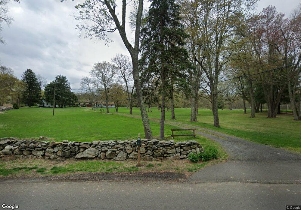
60 Locust Rd Greenwich, CT 06831
Back Country Greenwich NeighborhoodEstimated Value: $1,074,000 - $2,657,000
Studio
--
Bath
--
Sq Ft
222,156
Sq Ft Lot
About This Home
This home is located at 60 Locust Rd, Greenwich, CT 06831 and is currently estimated at $1,886,316. 60 Locust Rd is a home located in Fairfield County with nearby schools including Parkway School, Western Middle School, and Greenwich High School.
Ownership History
Date
Name
Owned For
Owner Type
Purchase Details
Closed on
Oct 5, 1995
Sold by
Reid Claire A
Bought by
Reid John R and Reid Joel M
Current Estimated Value
Home Financials for this Owner
Home Financials are based on the most recent Mortgage that was taken out on this home.
Original Mortgage
$305,000
Outstanding Balance
$2,194
Interest Rate
7.86%
Estimated Equity
$1,884,122
Create a Home Valuation Report for This Property
The Home Valuation Report is an in-depth analysis detailing your home's value as well as a comparison with similar homes in the area
Home Values in the Area
Average Home Value in this Area
Purchase History
| Date | Buyer | Sale Price | Title Company |
|---|---|---|---|
| Reid John R | $305,000 | -- |
Source: Public Records
Mortgage History
| Date | Status | Borrower | Loan Amount |
|---|---|---|---|
| Open | Reid John R | $305,000 |
Source: Public Records
Tax History
| Year | Tax Paid | Tax Assessment Tax Assessment Total Assessment is a certain percentage of the fair market value that is determined by local assessors to be the total taxable value of land and additions on the property. | Land | Improvement |
|---|---|---|---|---|
| 2025 | $9,151 | $760,060 | $683,200 | $76,860 |
| 2024 | $8,900 | $760,060 | $683,200 | $76,860 |
| 2023 | $8,657 | $760,060 | $683,200 | $76,860 |
| 2022 | $8,573 | $760,060 | $683,200 | $76,860 |
| 2021 | $6,421 | $553,980 | $478,240 | $75,740 |
| 2020 | $6,421 | $553,980 | $478,240 | $75,740 |
| 2019 | $6,470 | $553,980 | $478,240 | $75,740 |
| 2018 | $6,299 | $553,980 | $478,240 | $75,740 |
| 2017 | $6,265 | $550,970 | $478,240 | $72,730 |
| 2016 | $6,171 | $550,970 | $478,240 | $72,730 |
| 2015 | $11,436 | $1,014,720 | $934,990 | $79,730 |
| 2014 | $11,131 | $1,014,720 | $934,990 | $79,730 |
Source: Public Records
Map
Nearby Homes
- 38 Bedford Rd
- 20 Cutler Rd
- 1 Fieldstone Knoll Unit 47
- 3 Fieldstone Knoll Unit 46
- 9 Fieldstone Knoll Unit 43
- 8 Fieldstone Knoll Unit 51
- 8 Fieldstone Knoll
- 11 Fieldstone Knoll
- 11 Fieldstone Knoll Unit 42
- 13 Fieldstone Knoll Unit 41
- 53 Fieldstone Knoll Unit 21
- 37 Fieldstone Knoll Unit 29
- 16 Fieldstone Knoll Unit 55
- 18 Fieldstone Knoll Unit 56
- 25 Fieldstone
- 25 Fieldstone Unit 35
- 27 Fieldstone Knoll
- 29 Fieldstone Knoll
- 29 Fieldstone Knoll Unit 33
- 28 Fieldstone Knoll Unit 61
Your Personal Tour Guide
Ask me questions while you tour the home.