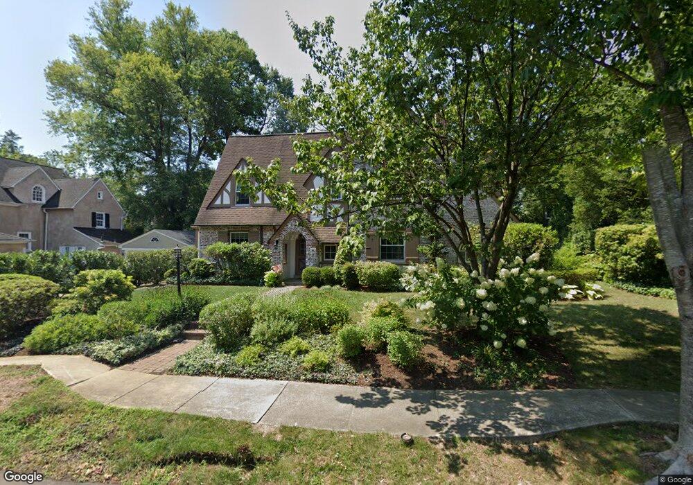
60 Merbrook Bend Merion Station, PA 19066
Estimated Value: $1,036,000 - $1,213,000
5
Beds
4
Baths
3,137
Sq Ft
$361/Sq Ft
Est. Value
About This Home
This home is located at 60 Merbrook Bend, Merion Station, PA 19066 and is currently estimated at $1,132,041, approximately $360 per square foot. 60 Merbrook Bend is a home located in Montgomery County with nearby schools including Merion Elementary School, Bala-Cynwyd Middle School, and Lower Merion High School.
Ownership History
Date
Name
Owned For
Owner Type
Purchase Details
Closed on
Sep 4, 2007
Sold by
Hartzell Dwight Jeffrey and Hartzell Ann Shmidheiser
Bought by
Barolak Ann L and Burke Thomas R
Current Estimated Value
Home Financials for this Owner
Home Financials are based on the most recent Mortgage that was taken out on this home.
Original Mortgage
$67,000
Outstanding Balance
$42,550
Interest Rate
6.63%
Estimated Equity
$1,089,491
Create a Home Valuation Report for This Property
The Home Valuation Report is an in-depth analysis detailing your home's value as well as a comparison with similar homes in the area
Home Values in the Area
Average Home Value in this Area
Purchase History
| Date | Buyer | Sale Price | Title Company |
|---|---|---|---|
| Barolak Ann L | $605,000 | None Available |
Source: Public Records
Mortgage History
| Date | Status | Borrower | Loan Amount |
|---|---|---|---|
| Open | Barolak Ann L | $67,000 | |
| Open | Barolak Ann L | $417,000 |
Source: Public Records
Tax History Compared to Growth
Tax History
| Year | Tax Paid | Tax Assessment Tax Assessment Total Assessment is a certain percentage of the fair market value that is determined by local assessors to be the total taxable value of land and additions on the property. | Land | Improvement |
|---|---|---|---|---|
| 2025 | $12,227 | $292,750 | -- | -- |
| 2024 | $12,227 | $292,750 | -- | -- |
| 2023 | $11,716 | $292,750 | $0 | $0 |
| 2022 | $11,499 | $292,750 | $0 | $0 |
| 2021 | $11,237 | $292,750 | $0 | $0 |
| 2020 | $10,963 | $292,750 | $0 | $0 |
| 2019 | $10,769 | $292,750 | $0 | $0 |
| 2018 | $10,770 | $292,750 | $0 | $0 |
| 2017 | $10,374 | $292,750 | $0 | $0 |
| 2016 | $10,260 | $292,750 | $0 | $0 |
| 2015 | $9,431 | $288,630 | $101,600 | $187,030 |
| 2014 | $9,431 | $288,630 | $101,600 | $187,030 |
Source: Public Records
Map
Nearby Homes
- 662 S Highland Ave
- 6323 Sherwood Rd
- 415 City Ave Unit D1
- 415 City Ave Unit I-2
- 415 City Ave Unit H2
- 5939 Drexel Rd
- 5933 Woodcrest Ave
- 1001 EC808 City Ave
- 1001 City Ave Unit EE1026
- 1001 City Ave Unit W-811
- 1001 City Ave Unit EE-927
- 1001 City Ave Unit W-617
- 1001 City Ave Unit EC206
- 1001 City Ave Unit W-801
- 1001 City Ave Unit E-1107
- 1001 City Ave Unit EC107
- 1001 City Ave Unit W-1004
- 1001 City Ave Unit E-223
- 1001 City Ave Unit E-726
- 1001 City Ave Unit W-106
- 70 Merbrook Bend
- 54 Merbrook Ln
- 50 Merbrook Ln Unit 39
- 65 Merbrook Bend
- 63 E Wynnewood Rd
- 70 Merbrook Ln
- 71 Merbrook Bend
- 80 Merbrook Bend
- 80 Merbrook Ln
- 71 E Wynnewood Rd
- 55 E Wynnewood Rd
- 49 Merbrook Ln
- 88 Merbrook Ln
- 79 E Wynnewood Rd
- 47 E Wynnewood Rd
- 730 S Latches Ln
- 734 S Latches Ln
- 724 S Latches Ln
- 738 S Latches Ln
- 55 Merbrook Ln