Estimated Value: $300,625 - $332,000
2
Beds
2
Baths
804
Sq Ft
$388/Sq Ft
Est. Value
About This Home
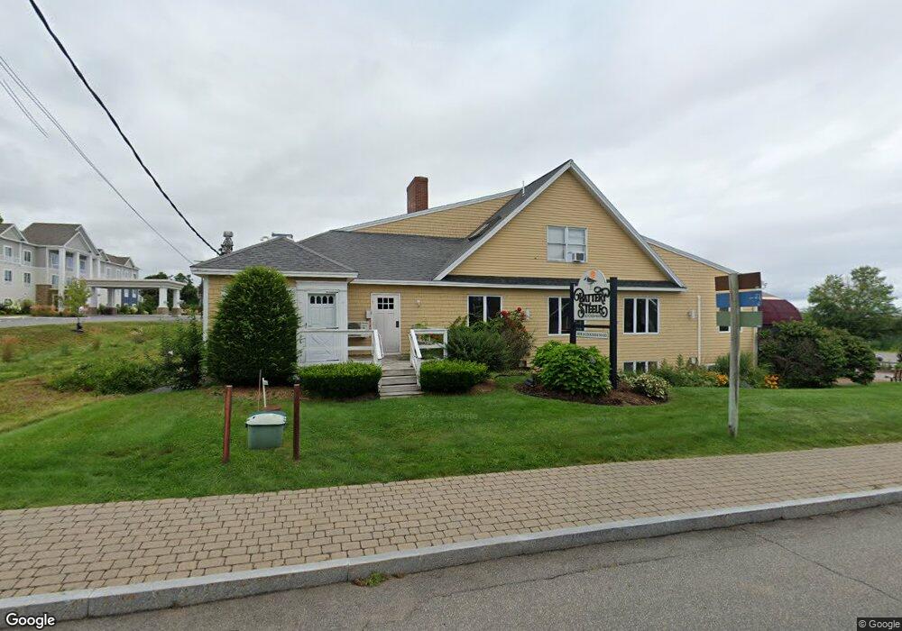
This home is located at 60 Mile Rd Unit 59, Wells, ME 04090 and is currently estimated at $311,656, approximately $387 per square foot. 60 Mile Rd Unit 59 is a home located in York County with nearby schools including Wells Junior High School, Wells Elementary School, and Wells High School.
Ownership History
Date
Name
Owned For
Owner Type
Purchase Details
Closed on
Jun 21, 2021
Sold by
Wilson Jerilyn D and Wilson Scott
Bought by
Stevens Christine R
Current Estimated Value
Home Financials for this Owner
Home Financials are based on the most recent Mortgage that was taken out on this home.
Original Mortgage
$131,625
Outstanding Balance
$118,910
Interest Rate
2.9%
Mortgage Type
Purchase Money Mortgage
Estimated Equity
$192,746
Purchase Details
Closed on
Jun 1, 2007
Sold by
Diane A Dyer T A and Diane Dyer
Bought by
Dyer Ft and Wilson
Create a Home Valuation Report for This Property
The Home Valuation Report is an in-depth analysis detailing your home's value as well as a comparison with similar homes in the area
Home Values in the Area
Average Home Value in this Area
Purchase History
| Date | Buyer | Sale Price | Title Company |
|---|---|---|---|
| Stevens Christine R | -- | None Available | |
| Stevens Christine R | -- | None Available | |
| Stevens Christine R | -- | None Available | |
| Stevens Christine R | -- | None Available | |
| Dyer Ft | -- | -- | |
| Dyer Ft | -- | -- |
Source: Public Records
Mortgage History
| Date | Status | Borrower | Loan Amount |
|---|---|---|---|
| Open | Stevens Christine R | $131,625 | |
| Closed | Stevens Christine R | $131,625 |
Source: Public Records
Tax History Compared to Growth
Tax History
| Year | Tax Paid | Tax Assessment Tax Assessment Total Assessment is a certain percentage of the fair market value that is determined by local assessors to be the total taxable value of land and additions on the property. | Land | Improvement |
|---|---|---|---|---|
| 2024 | $1,415 | $232,720 | $50,290 | $182,430 |
| 2023 | $1,387 | $232,720 | $50,290 | $182,430 |
| 2022 | $1,737 | $166,060 | $85,940 | $80,120 |
| 2021 | $1,747 | $166,060 | $85,940 | $80,120 |
| 2020 | $1,740 | $166,060 | $85,940 | $80,120 |
| 2019 | $1,730 | $166,060 | $85,940 | $80,120 |
| 2018 | $1,683 | $166,060 | $85,940 | $80,120 |
| 2017 | $1,687 | $166,060 | $85,940 | $80,120 |
| 2016 | $1,671 | $166,060 | $85,940 | $80,120 |
| 2015 | $1,652 | $166,060 | $85,940 | $80,120 |
| 2013 | $1,514 | $166,060 | $85,940 | $80,120 |
Source: Public Records
Map
Nearby Homes
- 60 Merrifield Ct
- 1072 Post Rd Unit 131
- 1072 Post Rd Unit 111
- 4 Tidal Ct
- 46 Buffum Hill Rd
- 150 Chapel Rd Unit 55
- 150 Chapel Rd Unit 105
- 46 Ox Cart Ln
- 90 Poplar Park Dr
- 1351 Post Rd Unit 49
- 733 Post Rd Unit 225
- 733 Post Rd Unit 126
- 42 Rachel Carson Ln
- 58 Atlantic Ave Unit 12B
- 61 Atlantic Ave Unit 3
- 1373 Post Rd Unit 10A
- 1373 Post Rd Unit 4E
- 1373 Post Rd Unit 2C
- 1373 Post Rd Unit 6B
- 1373 Post Rd Unit 1F
- 60 Mile Rd Unit 141
- 60 Mile Rd Unit 8
- 60 Mile Rd Unit 71
- 60 Mile Rd Unit 70
- 60 Mile Rd Unit 7
- 60 Mile Rd Unit 69
- 60 Mile Rd Unit 68
- 60 Mile Rd Unit 67
- 60 Mile Rd Unit 65
- 60 Mile Rd Unit 64
- 60 Mile Rd Unit 63
- 60 Mile Rd Unit 62
- 60 Mile Rd Unit 61
- 60 Mile Rd Unit 6
- 60 Mile Rd Unit 56
- 60 Mile Rd Unit 55
- 60 Mile Rd Unit 54
- 60 Mile Rd Unit 53
- 60 Mile Rd Unit 52
- 60 Mile Rd Unit 51