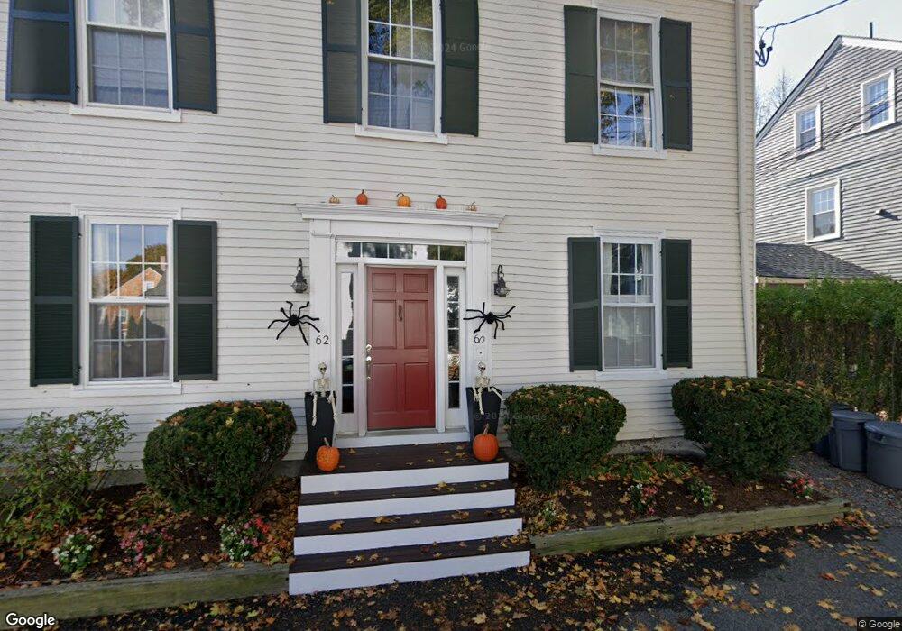
60 Milk St Unit 66 Newburyport, MA 01950
Estimated Value: $747,000 - $886,000
3
Beds
3
Baths
1,206
Sq Ft
$669/Sq Ft
Est. Value
About This Home
This home is located at 60 Milk St Unit 66, Newburyport, MA 01950 and is currently estimated at $807,056, approximately $669 per square foot. 60 Milk St Unit 66 is a home located in Essex County with nearby schools including Francis T. Bresnahan Elementary School, Edward G. Molin Elementary School, and Rupert A. Nock Middle School.
Ownership History
Date
Name
Owned For
Owner Type
Purchase Details
Closed on
Nov 22, 2021
Sold by
Butler John F
Bought by
Noga James W and Noga Marcia M
Current Estimated Value
Purchase Details
Closed on
Jul 15, 2008
Sold by
Wright Joy Ann
Bought by
Butler John F
Home Financials for this Owner
Home Financials are based on the most recent Mortgage that was taken out on this home.
Original Mortgage
$313,635
Interest Rate
6.13%
Mortgage Type
Purchase Money Mortgage
Purchase Details
Closed on
Apr 30, 1999
Sold by
Dunn Paulette and Pilz Michael
Bought by
Wright Joy Ann
Purchase Details
Closed on
Jun 24, 1997
Sold by
60 60 6 Milk St Rt and Guertin Ronald P
Bought by
Dunn Paulette M and Pilz Michael A
Create a Home Valuation Report for This Property
The Home Valuation Report is an in-depth analysis detailing your home's value as well as a comparison with similar homes in the area
Home Values in the Area
Average Home Value in this Area
Purchase History
| Date | Buyer | Sale Price | Title Company |
|---|---|---|---|
| Noga James W | $630,000 | None Available | |
| Butler John F | $320,000 | -- | |
| Wright Joy Ann | $189,900 | -- | |
| Dunn Paulette M | $149,900 | -- |
Source: Public Records
Mortgage History
| Date | Status | Borrower | Loan Amount |
|---|---|---|---|
| Previous Owner | Dunn Paulette M | $301,536 | |
| Previous Owner | Dunn Paulette M | $318,339 | |
| Previous Owner | Dunn Paulette M | $313,635 |
Source: Public Records
Tax History Compared to Growth
Tax History
| Year | Tax Paid | Tax Assessment Tax Assessment Total Assessment is a certain percentage of the fair market value that is determined by local assessors to be the total taxable value of land and additions on the property. | Land | Improvement |
|---|---|---|---|---|
| 2025 | $6,382 | $666,200 | $0 | $666,200 |
| 2024 | $6,231 | $625,000 | $0 | $625,000 |
| 2023 | $6,210 | $578,200 | $0 | $578,200 |
| 2022 | $5,677 | $472,700 | $0 | $472,700 |
| 2021 | $5,639 | $446,100 | $0 | $446,100 |
| 2020 | $5,132 | $399,700 | $0 | $399,700 |
| 2019 | $4,956 | $378,900 | $0 | $378,900 |
| 2018 | $4,876 | $367,700 | $0 | $367,700 |
| 2017 | $5,176 | $384,800 | $0 | $384,800 |
| 2016 | $4,873 | $363,900 | $0 | $363,900 |
| 2015 | $4,046 | $303,300 | $0 | $303,300 |
Source: Public Records
Map
Nearby Homes
- 113 Prospect St Unit B
- 57 Lime St Unit 1
- 58 Lime St Unit 5
- 164 Water St Unit A
- 166 Water St Unit B
- 17 Madison St
- 42 Federal St Unit B
- 11 Orange St Unit 2
- 26 Beacon Ave
- 11 Charter St
- 95 High St Unit 4
- 95 High St Unit 1
- 105 State St Unit 301
- 105 State St Unit 101
- 105 State St Unit 201
- 4 Goodwin Ave
- 33 Union St
- 30-32 Water St Unit 4
- 10 10th St
- 1 Lancaster Rd
- 60 Milk St Unit 66
- 60 Milk St Unit 66
- 60 Milk St Unit 66
- 60 Milk St Unit 66
- 60 Milk St Unit 66
- 60 Milk St Unit 1
- 60 Milk St Unit 60-62
- 60 Milk St Unit 2
- 60 Milk St
- 60-66 Milk St Unit 6
- 60 Milk St Unit 3
- 60-66 Milk St Unit 5
- 60-66 Milk St Unit 1
- 60-66 Milk St Unit 2
- 60-66 Milk St 2
- 64 Milk St
- 64 Milk St Unit 5
- 66 Milk St Unit 6
- 58 Milk St
- 68 Milk St