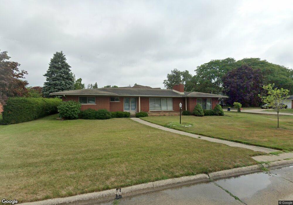
60 Moorland Dr Unit Bldg-Unit Grosse Pointe Shores, MI 48236
Estimated Value: $622,557 - $685,000
--
Bed
3
Baths
2,604
Sq Ft
$254/Sq Ft
Est. Value
About This Home
This home is located at 60 Moorland Dr Unit Bldg-Unit, Grosse Pointe Shores, MI 48236 and is currently estimated at $660,889, approximately $253 per square foot. 60 Moorland Dr Unit Bldg-Unit is a home located in Wayne County with nearby schools including Ferry Elementary School, Parcells Middle School, and Grosse Pointe North High School.
Ownership History
Date
Name
Owned For
Owner Type
Purchase Details
Closed on
Jul 31, 2024
Sold by
Carson Brian G and Weinhaus Kemmer
Bought by
Stump James R and Taylor Patricia A
Current Estimated Value
Home Financials for this Owner
Home Financials are based on the most recent Mortgage that was taken out on this home.
Original Mortgage
$398,500
Outstanding Balance
$393,257
Interest Rate
6.86%
Mortgage Type
New Conventional
Estimated Equity
$267,632
Purchase Details
Closed on
Aug 3, 2018
Sold by
Parker Robert
Bought by
Carson Brian G and Weinhaus Kemmer
Purchase Details
Closed on
Jul 13, 2007
Sold by
Parker Robert and Parker Delphine
Bought by
Parker Robert and Robert Parker Trust
Create a Home Valuation Report for This Property
The Home Valuation Report is an in-depth analysis detailing your home's value as well as a comparison with similar homes in the area
Home Values in the Area
Average Home Value in this Area
Purchase History
| Date | Buyer | Sale Price | Title Company |
|---|---|---|---|
| Stump James R | $569,500 | Capital Title Insurance Agency | |
| Carson Brian G | $420,000 | None Available | |
| Parker Robert | -- | None Available |
Source: Public Records
Mortgage History
| Date | Status | Borrower | Loan Amount |
|---|---|---|---|
| Open | Stump James R | $398,500 |
Source: Public Records
Tax History Compared to Growth
Tax History
| Year | Tax Paid | Tax Assessment Tax Assessment Total Assessment is a certain percentage of the fair market value that is determined by local assessors to be the total taxable value of land and additions on the property. | Land | Improvement |
|---|---|---|---|---|
| 2025 | $13,494 | $387,000 | $0 | $0 |
| 2024 | $13,494 | $362,200 | $0 | $0 |
| 2023 | $13,494 | $317,400 | $0 | $0 |
| 2022 | $13,494 | $310,100 | $0 | $0 |
| 2021 | $13,494 | $287,200 | $0 | $0 |
| 2019 | $13,738 | $254,200 | $0 | $0 |
| 2018 | $6,893 | $249,500 | $0 | $0 |
| 2017 | $7,018 | $241,900 | $0 | $0 |
| 2016 | $10,430 | $217,300 | $0 | $0 |
| 2015 | $18,973 | $201,900 | $0 | $0 |
| 2013 | $18,376 | $183,760 | $0 | $0 |
| 2011 | -- | $208,820 | $0 | $0 |
Source: Public Records
Map
Nearby Homes
- 34 Putnam Place
- 21560 van K Dr
- 580 N Brys Dr
- 935 S Brys Dr
- 65 Vernier Rd
- 23118 Westbury St
- 22925 Gary Ln Unit 77
- 22852 Allen Ct Unit 150
- 1039 Hawthorne Rd
- 20670 Vernier Cir
- 926 Lochmoor Place
- 1158 Hawthorne Rd
- 1000 Vernier Rd
- 1291 Roslyn Rd
- 54 Belle Meade St
- 745 Lake Shore Rd
- 749 Lake Shore Rd
- 22997 Carolina St
- 528 Hidden Ln
- 23112 Marter Rd
- 60 Moorland Dr
- 56 Moorland Dr
- 76 Moorland Dr
- 46 Moorland Dr
- 50 Moorland Dr
- 940 Ballantyne Rd
- 65 Moorland Dr
- 67 Briarcliff Place
- 55 Moorland Dr
- 75 Moorland Dr
- 53 Briarcliff Place
- 79 Briarcliff Place
- 45 Moorland Dr
- 30 Moorland Dr
- 68 Putnam Place
- 935 Ballantyne Rd
- 41 Briarcliff Place
- 58 Putnam Place
- 35 Moorland Dr
- 85 Moorland Dr