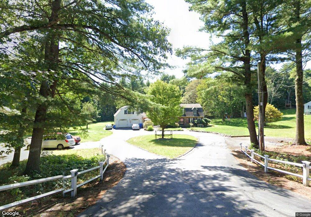
60 Myrtle St Wrentham, MA 02093
Estimated Value: $821,000 - $1,028,000
3
Beds
4
Baths
2,911
Sq Ft
$302/Sq Ft
Est. Value
About This Home
This home is located at 60 Myrtle St, Wrentham, MA 02093 and is currently estimated at $879,403, approximately $302 per square foot. 60 Myrtle St is a home located in Norfolk County with nearby schools including Delaney Elementary School, Charles E Roderick, and Foxborough Regional Charter School.
Ownership History
Date
Name
Owned For
Owner Type
Purchase Details
Closed on
Apr 23, 1975
Bought by
Richard James M and Richard Joan M
Current Estimated Value
Create a Home Valuation Report for This Property
The Home Valuation Report is an in-depth analysis detailing your home's value as well as a comparison with similar homes in the area
Purchase History
| Date | Buyer | Sale Price | Title Company |
|---|---|---|---|
| Richard James M | -- | -- |
Source: Public Records
Mortgage History
| Date | Status | Borrower | Loan Amount |
|---|---|---|---|
| Open | Richard James M | $130,000 | |
| Closed | Richard James M | $90,000 | |
| Closed | Richard James M | $125,000 | |
| Closed | Richard James M | $125,000 |
Source: Public Records
Tax History
| Year | Tax Paid | Tax Assessment Tax Assessment Total Assessment is a certain percentage of the fair market value that is determined by local assessors to be the total taxable value of land and additions on the property. | Land | Improvement |
|---|---|---|---|---|
| 2025 | $8,595 | $741,600 | $306,400 | $435,200 |
| 2024 | $8,252 | $687,700 | $306,400 | $381,300 |
| 2023 | $8,524 | $675,400 | $278,800 | $396,600 |
| 2022 | $8,177 | $598,200 | $260,300 | $337,900 |
| 2021 | $7,876 | $559,800 | $227,700 | $332,100 |
| 2020 | $8,100 | $568,400 | $202,900 | $365,500 |
| 2019 | $8,026 | $568,400 | $202,900 | $365,500 |
| 2018 | $6,919 | $485,900 | $203,100 | $282,800 |
| 2017 | $6,444 | $452,200 | $199,200 | $253,000 |
| 2016 | $6,169 | $432,000 | $193,400 | $238,600 |
| 2015 | $5,965 | $398,200 | $186,000 | $212,200 |
| 2014 | $5,421 | $354,100 | $149,700 | $204,400 |
Source: Public Records
Map
Nearby Homes
- 282 Thurston St
- 483 Thurston St
- 10 Nature View Dr
- 15 Nature View Dr
- 576 Dedham St
- 25 Foxboro Rd
- 131 Washington St Unit 42
- 131 Washington St Unit 50
- 1 Weber Farm Rd Unit 1
- 75 Foxboro Rd
- 8 Conway Ln
- 65 Foxboro Rd
- 11 Weber Farm Rd Unit 11
- 8 Weber Farm Rd Unit 8
- 12 Goodwin Dr
- 30 Weber Farm Rd Unit 30
- 135 Creek St Unit 2
- 9 Sharon Ave
- 3 Earle Stewart Ln
- 11 Sharon Ave
Your Personal Tour Guide
Ask me questions while you tour the home.