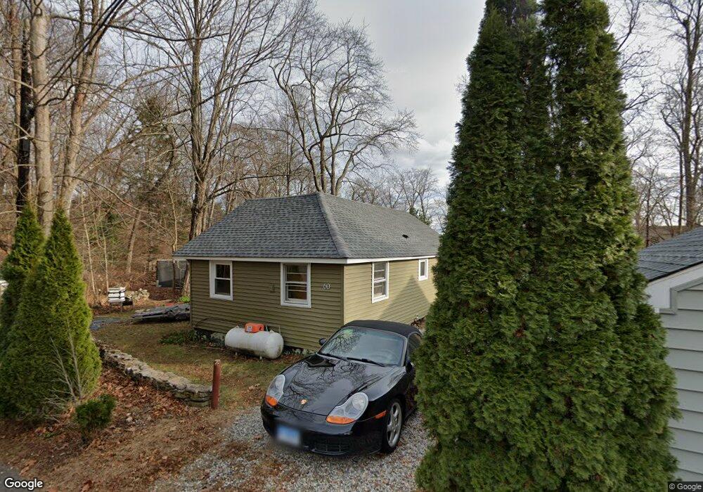
60 N Ayers Rd Coventry, CT 06238
Estimated Value: $160,000 - $237,000
2
Beds
1
Bath
576
Sq Ft
$351/Sq Ft
Est. Value
About This Home
This home is located at 60 N Ayers Rd, Coventry, CT 06238 and is currently estimated at $202,186, approximately $351 per square foot. 60 N Ayers Rd is a home located in Tolland County with nearby schools including Coventry Grammar School, George Hersey Robertson School, and Capt. Nathan Hale School.
Ownership History
Date
Name
Owned For
Owner Type
Purchase Details
Closed on
Sep 4, 2003
Sold by
Scussel Donald and Scussel Linda
Bought by
Ritchings Christopher
Current Estimated Value
Home Financials for this Owner
Home Financials are based on the most recent Mortgage that was taken out on this home.
Original Mortgage
$75,000
Outstanding Balance
$34,265
Interest Rate
6.02%
Estimated Equity
$167,921
Create a Home Valuation Report for This Property
The Home Valuation Report is an in-depth analysis detailing your home's value as well as a comparison with similar homes in the area
Home Values in the Area
Average Home Value in this Area
Purchase History
| Date | Buyer | Sale Price | Title Company |
|---|---|---|---|
| Ritchings Christopher | $79,000 | -- | |
| Ritchings Christopher | $79,000 | -- |
Source: Public Records
Mortgage History
| Date | Status | Borrower | Loan Amount |
|---|---|---|---|
| Open | Ritchings Christopher | $75,000 | |
| Closed | Ritchings Christopher | $75,000 |
Source: Public Records
Tax History
| Year | Tax Paid | Tax Assessment Tax Assessment Total Assessment is a certain percentage of the fair market value that is determined by local assessors to be the total taxable value of land and additions on the property. | Land | Improvement |
|---|---|---|---|---|
| 2025 | $3,029 | $127,500 | $41,200 | $86,300 |
| 2024 | $2,255 | $67,700 | $34,200 | $33,500 |
| 2023 | $2,149 | $67,700 | $34,200 | $33,500 |
| 2022 | $2,019 | $64,800 | $34,200 | $30,600 |
| 2021 | $2,019 | $64,800 | $34,200 | $30,600 |
| 2020 | $2,020 | $64,800 | $34,200 | $30,600 |
| 2019 | $2,083 | $64,700 | $34,200 | $30,500 |
| 2018 | $2,141 | $66,500 | $34,200 | $32,300 |
| 2017 | $2,128 | $66,500 | $34,200 | $32,300 |
| 2016 | $2,075 | $66,500 | $34,200 | $32,300 |
| 2015 | $2,075 | $66,500 | $34,200 | $32,300 |
| 2014 | $2,283 | $80,200 | $41,400 | $38,800 |
Source: Public Records
Map
Nearby Homes
- 0 Daly Rd Unit 24146464
- 2478 Main St
- 152 Cheney Ln
- 27 Fox Trail
- 0 Hinkel Mae Dr
- 17 Ireland Dr
- 0 Woodland Rd
- 864 Boston Turnpike
- 198 Forest Rd
- 498 Root Rd
- 0 Skinner Hill Rd Unit 24077239
- 55 Whites Hill Rd
- 499 Woodmont Dr
- 550 High St
- 25 Wolf Hill Rd
- 37 Wolf Hill Lot (#40) Rd
- 37 Wolf Hill Rd Unit Lot 40
- 0 Wheeling Rd Unit 24116879
- 395 Grant Hill (Mill Race Drive) Lot #21 Rd
- 395 Grant Hill Rd Unit Lot21
- 50 N Ayers Rd
- 53 N Ayers Rd
- 240 Standish Rd
- 47 N Ayers Rd
- 230 Standish Rd
- 39 N Ayers Rd
- 244 Standish Rd
- 18 S Ayers Rd
- 530 Laurel Trail
- 150 Standish Rd
- 21 N Ayers Rd
- 12 S Ayers Rd
- 237 Standish Rd
- 241 Standish Rd
- 536 Laurel Trail
- 11 S Ayers Rd
- 231 Standish Rd
- 551 Laurel Trail
- 245 Standish Rd
- 36 Staye Rd
Your Personal Tour Guide
Ask me questions while you tour the home.