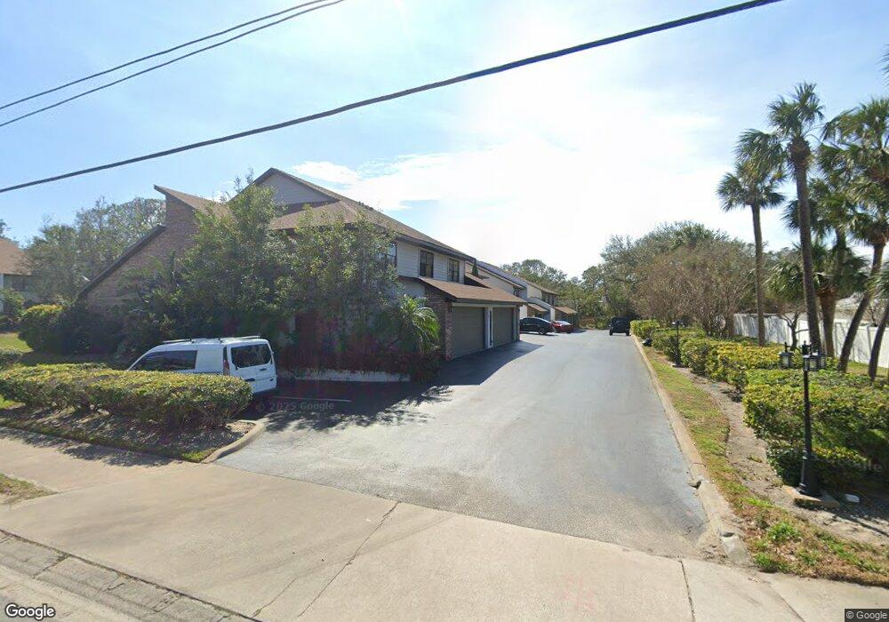
60 N Halifax Dr Unit 1010 Ormond Beach, FL 32176
Estimated Value: $337,000 - $420,000
3
Beds
3
Baths
2,265
Sq Ft
$167/Sq Ft
Est. Value
About This Home
This home is located at 60 N Halifax Dr Unit 1010, Ormond Beach, FL 32176 and is currently estimated at $379,065, approximately $167 per square foot. 60 N Halifax Dr Unit 1010 is a home located in Volusia County with nearby schools including Ormond Beach Middle School, Seabreeze High School, and St Brendan Catholic School.
Ownership History
Date
Name
Owned For
Owner Type
Purchase Details
Closed on
Mar 18, 1996
Sold by
Andrinopoulos John and Andrinopoulos Vicki Evanthia
Bought by
Comer Sara Warren
Current Estimated Value
Home Financials for this Owner
Home Financials are based on the most recent Mortgage that was taken out on this home.
Original Mortgage
$90,000
Outstanding Balance
$1,770
Interest Rate
6.97%
Estimated Equity
$377,295
Purchase Details
Closed on
Feb 15, 1991
Bought by
Comer Sara Warren
Purchase Details
Closed on
May 15, 1985
Bought by
Comer Sara Warren
Create a Home Valuation Report for This Property
The Home Valuation Report is an in-depth analysis detailing your home's value as well as a comparison with similar homes in the area
Home Values in the Area
Average Home Value in this Area
Purchase History
| Date | Buyer | Sale Price | Title Company |
|---|---|---|---|
| Comer Sara Warren | $113,000 | -- | |
| Comer Sara Warren | $100 | -- | |
| Comer Sara Warren | $114,000 | -- |
Source: Public Records
Mortgage History
| Date | Status | Borrower | Loan Amount |
|---|---|---|---|
| Open | Comer Sara Warren | $90,000 |
Source: Public Records
Tax History
| Year | Tax Paid | Tax Assessment Tax Assessment Total Assessment is a certain percentage of the fair market value that is determined by local assessors to be the total taxable value of land and additions on the property. | Land | Improvement |
|---|---|---|---|---|
| 2026 | $5,217 | $322,170 | $78,900 | $243,270 |
| 2025 | $5,217 | $318,789 | $78,900 | $239,889 |
| 2024 | $1,332 | $132,161 | -- | -- |
| 2023 | $1,332 | $128,312 | $0 | $0 |
| 2022 | $1,351 | $124,575 | $0 | $0 |
| 2021 | $1,385 | $120,947 | $0 | $0 |
| 2020 | $1,358 | $119,277 | $0 | $0 |
| 2019 | $1,325 | $116,595 | $0 | $0 |
| 2018 | $1,323 | $114,421 | $0 | $0 |
| 2017 | $1,337 | $112,068 | $0 | $0 |
| 2016 | $1,344 | $109,763 | $0 | $0 |
| 2015 | -- | $109,000 | $0 | $0 |
| 2014 | -- | $108,135 | $0 | $0 |
Source: Public Records
Map
Nearby Homes
- 84 N Halifax Dr
- 114 N Halifax Dr
- 105 John Anderson Dr
- 1 John Anderson Dr Unit 205
- 1 John Anderson Dr Unit 604
- 1 John Anderson Dr Unit 303
- 1 John Anderson Dr Unit 3010
- 1 John Anderson Dr Unit 4120
- 1 John Anderson Dr Unit 301
- 1 John Anderson Dr Unit 412
- 200 John Anderson Dr
- 65 Seton Trail Unit 8
- 276 John Anderson Dr
- 65 Coquina Dr
- 67 Ocean Shore Blvd
- 39 Willis Dr
- 156 Bosarvey Dr
- 358 Oak Dr
- 89 S Atlantic Ave Unit 401
- 89 S Atlantic Ave Unit 204
- 60 N Halifax Dr Unit 1040
- 60 N Halifax Dr Unit 108
- 60 N Halifax Dr Unit 112
- 60 N Halifax Dr Unit 116
- 60 N Halifax Dr Unit 102
- 60 N Halifax Dr Unit 109
- 60 N Halifax Dr Unit 1160
- 60 N Halifax Dr Unit 1150
- 60 N Halifax Dr Unit 1140
- 60 N Halifax Dr Unit 1130
- 60 N Halifax Dr Unit 1120
- 60 N Halifax Dr Unit 1110
- 60 N Halifax Dr Unit 1100
- 60 N Halifax Dr Unit 1090
- 60 N Halifax Dr Unit 1080
- 60 N Halifax Dr Unit 1070
- 60 N Halifax Dr Unit 106
- 60 N Halifax Dr Unit 104
- 60 N Halifax Dr Unit 1030
- 60 N Halifax Dr Unit 1020
Your Personal Tour Guide
Ask me questions while you tour the home.