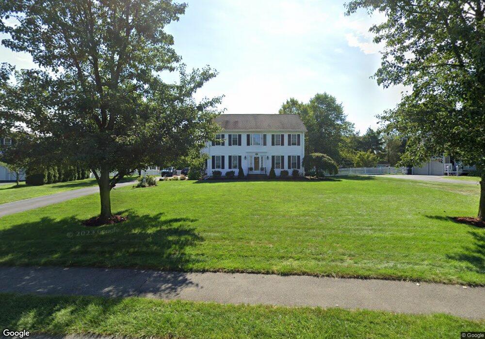
60 Pokanoket Path Wrentham, MA 02093
Estimated Value: $924,515 - $1,142,000
4
Beds
3
Baths
2,699
Sq Ft
$396/Sq Ft
Est. Value
About This Home
This home is located at 60 Pokanoket Path, Wrentham, MA 02093 and is currently estimated at $1,069,629, approximately $396 per square foot. 60 Pokanoket Path is a home located in Norfolk County with nearby schools including Delaney Elementary School and Charles E Roderick.
Ownership History
Date
Name
Owned For
Owner Type
Purchase Details
Closed on
Sep 28, 2001
Sold by
Diplacido Dev Corp
Bought by
Conlon Kevin P and Conlon Brenda J
Current Estimated Value
Home Financials for this Owner
Home Financials are based on the most recent Mortgage that was taken out on this home.
Original Mortgage
$200,000
Outstanding Balance
$78,402
Interest Rate
6.91%
Mortgage Type
Purchase Money Mortgage
Estimated Equity
$991,227
Create a Home Valuation Report for This Property
The Home Valuation Report is an in-depth analysis detailing your home's value as well as a comparison with similar homes in the area
Purchase History
| Date | Buyer | Sale Price | Title Company |
|---|---|---|---|
| Conlon Kevin P | $387,538 | -- |
Source: Public Records
Mortgage History
| Date | Status | Borrower | Loan Amount |
|---|---|---|---|
| Open | Conlon Kevin P | $200,000 |
Source: Public Records
Tax History
| Year | Tax Paid | Tax Assessment Tax Assessment Total Assessment is a certain percentage of the fair market value that is determined by local assessors to be the total taxable value of land and additions on the property. | Land | Improvement |
|---|---|---|---|---|
| 2025 | $10,497 | $905,700 | $301,900 | $603,800 |
| 2024 | $9,983 | $831,900 | $301,900 | $530,000 |
| 2023 | $9,753 | $772,800 | $274,400 | $498,400 |
| 2022 | $8,935 | $653,600 | $211,200 | $442,400 |
| 2021 | $8,856 | $629,400 | $221,300 | $408,100 |
| 2020 | $9,188 | $644,800 | $199,600 | $445,200 |
| 2019 | $9,041 | $640,300 | $214,900 | $425,400 |
| 2018 | $7,895 | $554,400 | $215,200 | $339,200 |
| 2017 | $7,736 | $542,900 | $211,000 | $331,900 |
| 2016 | $7,573 | $530,300 | $204,900 | $325,400 |
| 2015 | $7,589 | $506,600 | $197,000 | $309,600 |
| 2014 | $7,516 | $490,900 | $189,500 | $301,400 |
Source: Public Records
Map
Nearby Homes
- 10 Earle Stewart Ln Unit Lot 5
- 12 Earle Stewart Ln
- 2 Earle Stewart Ln
- 3 Earle Stewart Ln
- 500 Franklin St
- 10 Nature View Dr
- 15 Nature View Dr
- 440 Chestnut St
- 613 West St
- 1222 South St
- 287 Park St
- 955 Summer St
- 50 Reed Fulton Ave Unit Lot 61
- 0 Fall Ln
- 0 Berry St
- 18 Huntington Ave
- 75 Jordan Rd
- 45 Joshua Rd
- 20 Field Cir
- 19 Chestnut Lot 0
- 50 Pokanoket Path
- 70 Pokanoket Path
- 45 Weetamoo Way
- 35 Weetamoo Way
- 40 Pokanoket Path
- 55 Weetamoo Way
- 25 Weetamoo Way
- 145 Annawon Ave
- 135 Annawon Ave
- 30 Pokanoket Path
- 75 Pokanoket Path
- 125 Annawon Ave
- 35 Pokanoket Path
- 65 Weetamoo Way
- 15 Weetamoo Way
- 115 Annawon Ave
- 65 Pokanoket Path
- 25 Pokanoket Path
- 30 Weetamoo Way
- 90 Pokanoket Path
Your Personal Tour Guide
Ask me questions while you tour the home.